
BROYLES
Campground · Fee not listed
Fast facts
- Cost
- Not listed. Check locally.
- Type
- Campground
- Phone
- 888-893-0678 HARTWELL PROJECT OFFICE
- Nearest dump station
- Deep Creek RV Sanitary Station · 73.7 mi
- Coordinates
- 34.5147, -82.8283
- Last verified
- September 19, 2026



About this place
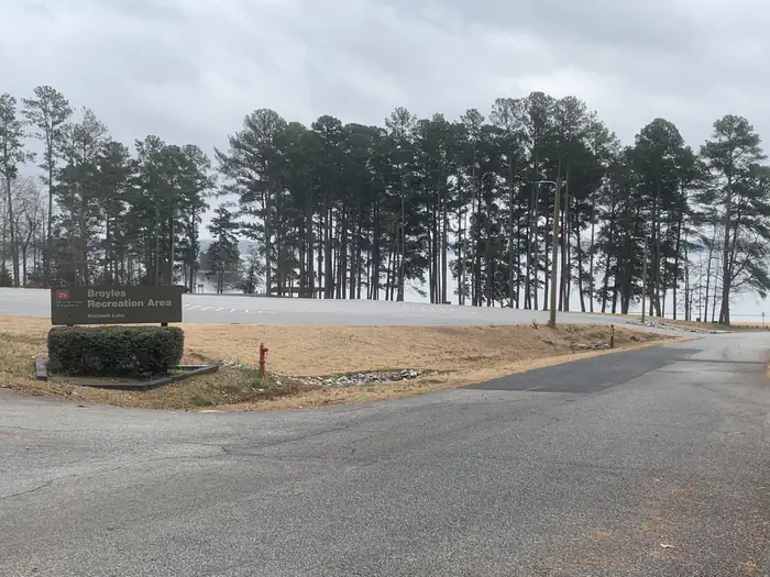
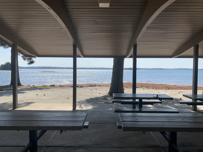
Overview Broyles Recreation Area consists of 24 acres with a gentle to moderate slope and vegetation consisting primarily of pine. The site presently offers day use and boat launching facilities consisting of 1 volunteer host campsite, 14 picnic sites, 1 standard picnic shelter with water and electric service, 1 three lane boat ramp, 1 courtesy dock, 1 comfort station, 1 playground, 1 designated swim area/beach, 1 fishing pier, and associated paved roads and parking areas throughout. Parking expansion to add approximately 30 additional boat trailer spaces and 8 single car spaces completed in 2018. Area is a favorite location for large fishing tournaments throughout the Spring and Summer annually. Recreation Boating and water sports top the list of popular activities. A boat ramp is provided for easy lake access. Facilities The site presently offers day use and boat launching facilities consisting of 1 volunteer host campsite, 14 picnic sites, 1 standard picnic shelter with water and electric service, 1 three lane boat ramp, 1 courtesy dock, 1 comfort station, 1 playground, 1 designated swim area/beach, 1 fishing pier, and associated paved roads and parking areas throughout. Parking expansion to add approximately 30 additional boat trailer spaces and 8 single car spaces completed in 2018. Natural Features Hartwell Lake is a man-made lake bordering Georgia and South Carolina on the Savannah, Tugaloo and Seneca Rivers. The dam and lake area boasts 8 campgrounds and 11 day-use facilities that are operated by the US Army Corps of Engineers. The Hartwell Project was originally authorized for hydro-power, flood control, and navigation. Later, recreation, water quality, water supply and fish and wildlife management were added. Surrounding vegetation allows for plenty of shade, and the 962 miles of shoreline provide numerous swimming beaches, picnic areas and boat ramps. Nearby Attractions Charges & Cancellations A $10 service fee will apply if you change or cancel a reservation more than 14 days in advance of arrival date. If you cancel a reservation within 14 days of your scheduled arrival date, you will forfeit the reservation fee.
From the managing agency.
Is BROYLES free?
We do not have a fee on record for BROYLES. Confirm the cost locally before you go.
How do I get to BROYLES?
BROYLES is at 34.5147, -82.8283. We do not hold written directions for this one, so navigate to the coordinates.
Nearby
SourceSource data is agency published. Last synced September 19, 2026. Community reports and photos are submitted by travelers and are not verified by the agency.
