
W.P. FRANKLIN SOUTH RECREATION AREA
Campground · Fee not listed
Fast facts
- Cost
- Not listed. Check locally.
- Type
- Campground
- Phone
- 239-694-2582
- Coordinates
- 26.7203, -81.6939
- Last verified
- September 19, 2026

About this place
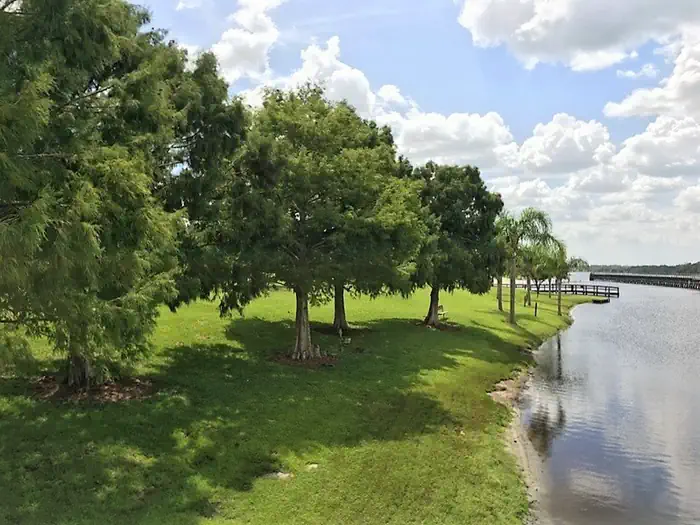
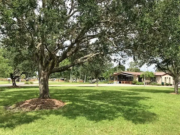
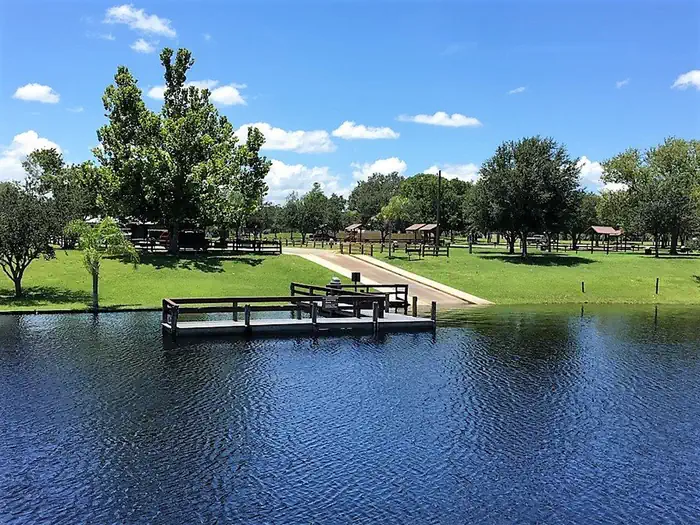
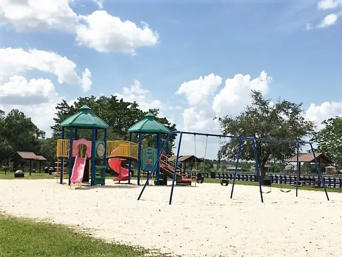
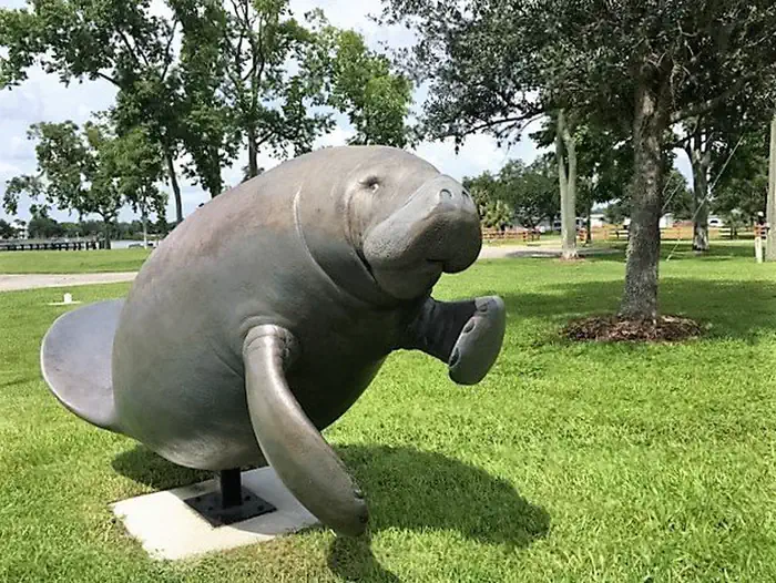
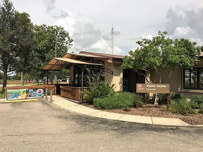
Overview WP Franklin South Recreation Area is a day use area located on the Caloosahatchee River adjacent to the WP Franklin Lock and Dam. Visitors can watch boats traversing the 152 mile Okeechobee Waterway that spans South Florida from the Atlantic Ocean to the Gulf of Mexico, enjoy the exhibits at the visitor center or just relax with a picnic lunch. Recreation Boating, canoeing and kayaking on the Caloosahatchee River are popular activities. Anglers can try their luck with catching both freshwater and saltwater fish. Facilities This day use area has a visitor center, boat ramp, volleyball and horseshoe courts, a playground and several covered picnic sites. Flush toilets and drinking water are also available. There are two group picnic shelters available for reservation. Each shelter has water and electricity, six picnic tables, a large charcoal BBQ grill and can accommodate up to 50 people. Nearby Attractions Lee County Manatee Park is six miles west on Palm Beach Blvd. Hickeys Creek Mitigation Park is two miles east on Palm Beach Boulevard, Gulf of Mexico beaches and the J.N. Ding Darling National Wildlife Refuge are 30 miles to the west.
From the managing agency.
Is this site free?
We do not have a fee on record for this site. Confirm the cost locally before you go.
How do I get to this site?
this site is at 26.7203, -81.6939. We do not hold written directions for this one, so navigate to the coordinates.
Nearby
No other services within 50 mi on the record.
SourceSource data is agency published. Last synced September 19, 2026. Community reports and photos are submitted by travelers and are not verified by the agency.
