
ORTONA SOUTH
Campground · Fee not listed
Fast facts
- Cost
- Not listed. Check locally.
- Type
- Campground
- Phone
- 863-675-8400
- Coordinates
- 26.7872, -81.3086
- Last verified
- September 19, 2026



About this place
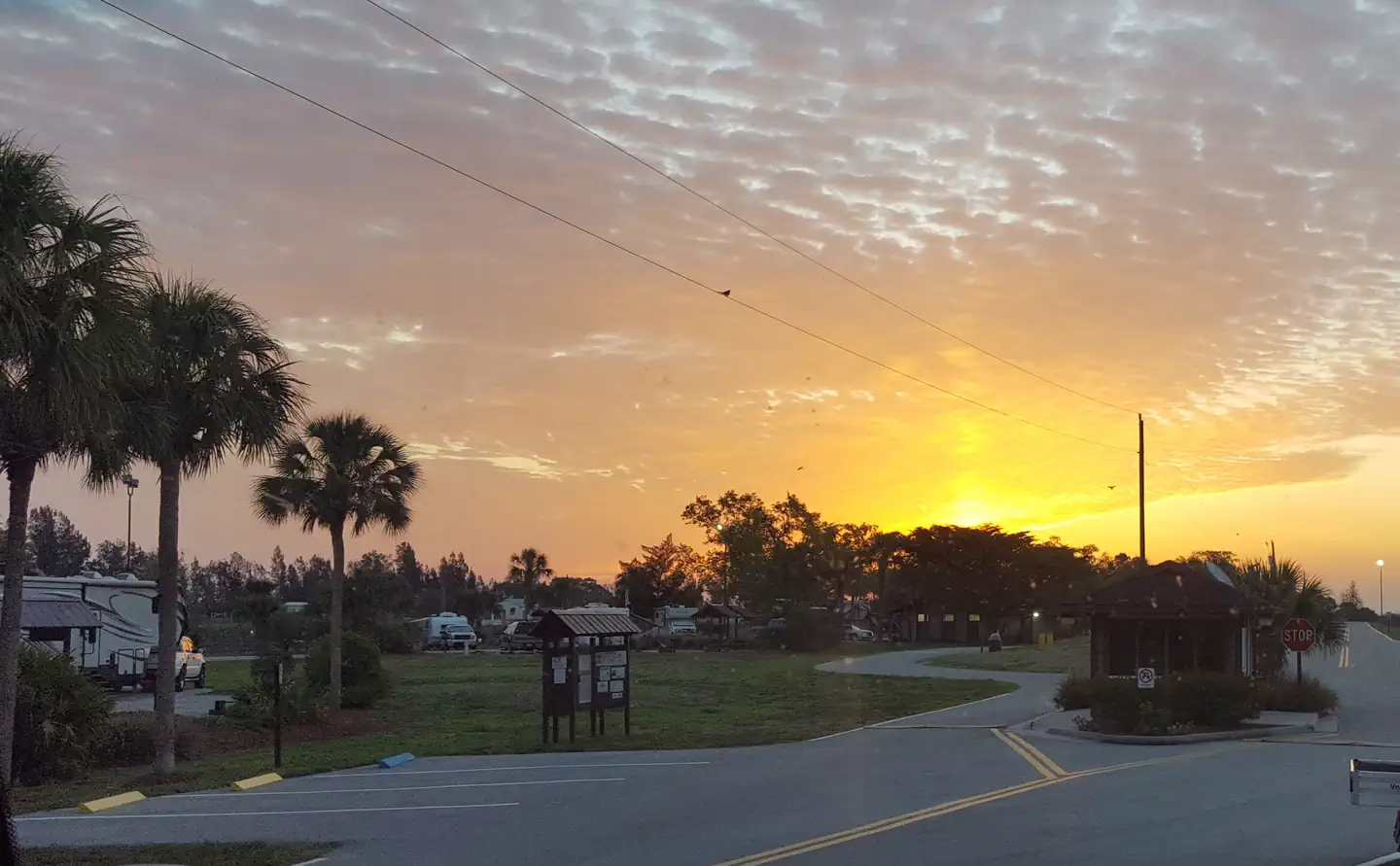
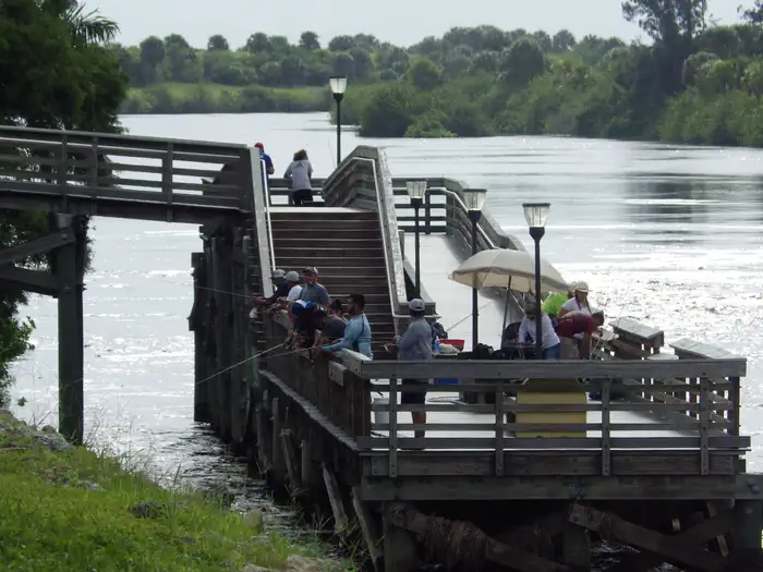
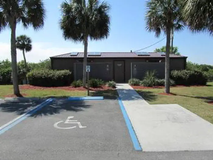
Overview Ortona South is a perfect campground for a quiet, sunny escape to South Florida. The campground is set along the Caloosahatchie River. Recreation Activities here are focused on simple, relaxing pleasures like fishing and strolling the grounds. If you walk across the dam in between 7AM and 4 PM, the road on the north side of the river provides a great place for walking and bicycling. Catfish, Largemouth Bass, Bluegill, and Tilapia are the most commonly caught fish at the large wooden pier at the campground. Snook are commonly caught at the small north end pier which is also accessible by walking across the dam from 7AM to 4PM. Several large bird species frequent the area if you are a Bird Watcher. Facilities All campsites have concrete pads, electric, 30 amp and 50 amp, water hookups, a fire ring and grill, and a covererd picnic table. Other amenities include a sanitary dump station, restrooms with showers, dumpsters, Wifi (near west end restroom only), and a picnic pavilion for campers only. Day use visitors are allowed on site for fishing. The Ortona North Day Use Area has a boat launch and is a 25 minute drive by way of the Town of LaBelle. LaBelle is the nearest town and has stores, restaurants, etc. Laundry Facilities are not currently available on site. Natural Features The campground's terrain is flat and lined with tropical greenery , including the Sabal Palm, the state tree of Florida. The Caloosahatchee River to your north and picturesque pastures to your south. The South Florida Water Management District is constructing a Water Quality Treatment and Testing Facility, adjacent to the South East end of the campground. Construction at that site may affect the serenity of your experience. Nearby Attractions Head west to LaBelle, Florida, where an annual Swamp Cabbage Festival is held the last weekend of each February. Or travel east to hike or bike along the Herbert Hoover Dike, part of Lake Okeechobee, and part of the 1,400-mile long Florida National Scenic Trail.
From the managing agency.
Is ORTONA SOUTH free?
We do not have a fee on record for ORTONA SOUTH. Confirm the cost locally before you go.
How do I get to ORTONA SOUTH?
ORTONA SOUTH is at 26.7872, -81.3086. We do not hold written directions for this one, so navigate to the coordinates.
Nearby
- W.P. FRANKLIN N24.1 mi
- W.P. FRANKLIN SOUTH RECREATION AREA24.3 mi
- Gator Head Campground 38.9 mi
- Bear Island Campground41.8 mi
No other services within 50 mi on the record.
SourceSource data is agency published. Last synced September 19, 2026. Community reports and photos are submitted by travelers and are not verified by the agency.
