
WEST HILL PARK
Campground · Fee
Fast facts
- Cost
- Fee charged
- Type
- Campground
- Phone
- (978) 318-8419 OR (508) 278-2511
- Coordinates
- 42.1119, -71.6033
- Last verified
- September 19, 2026


About this place
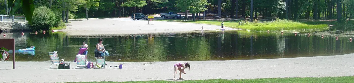
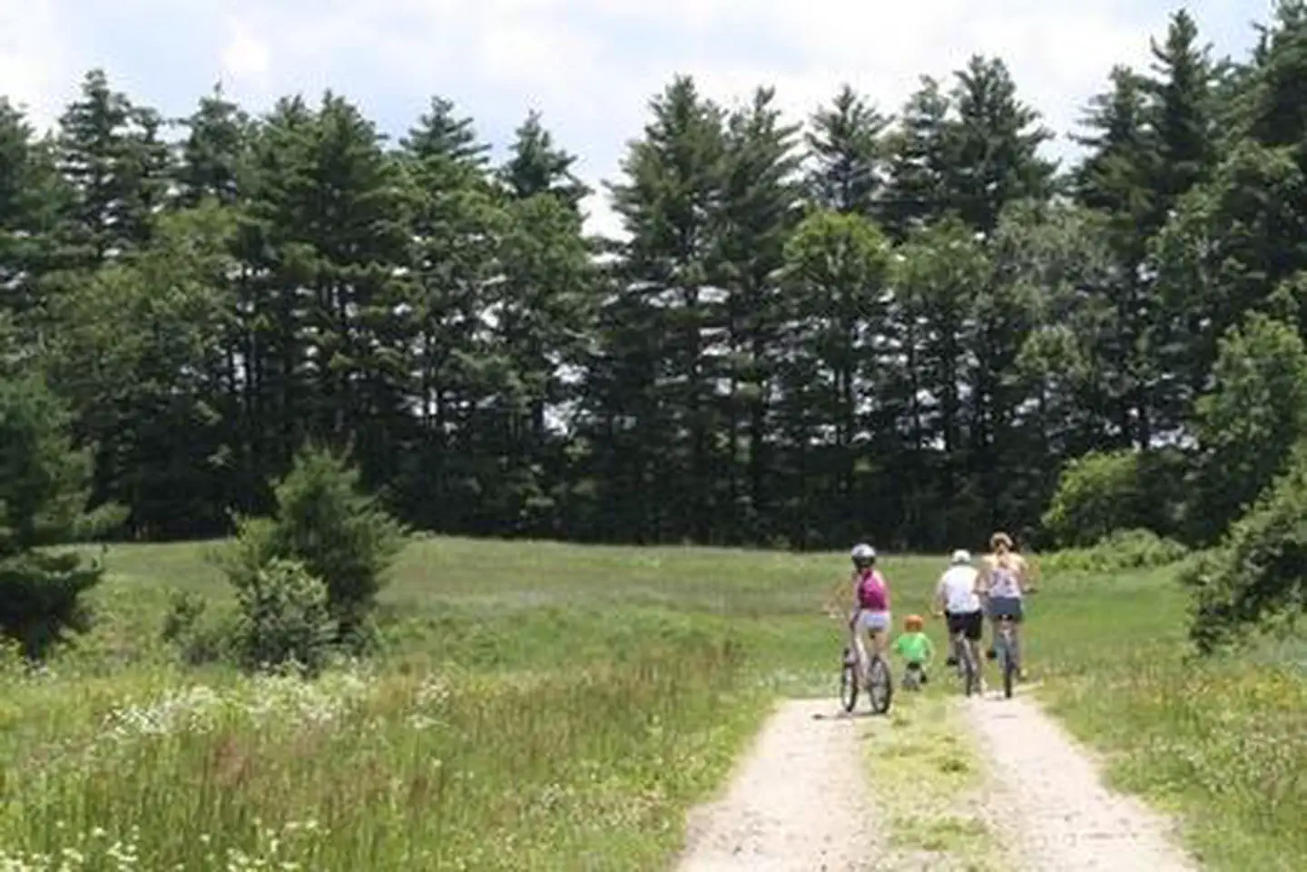
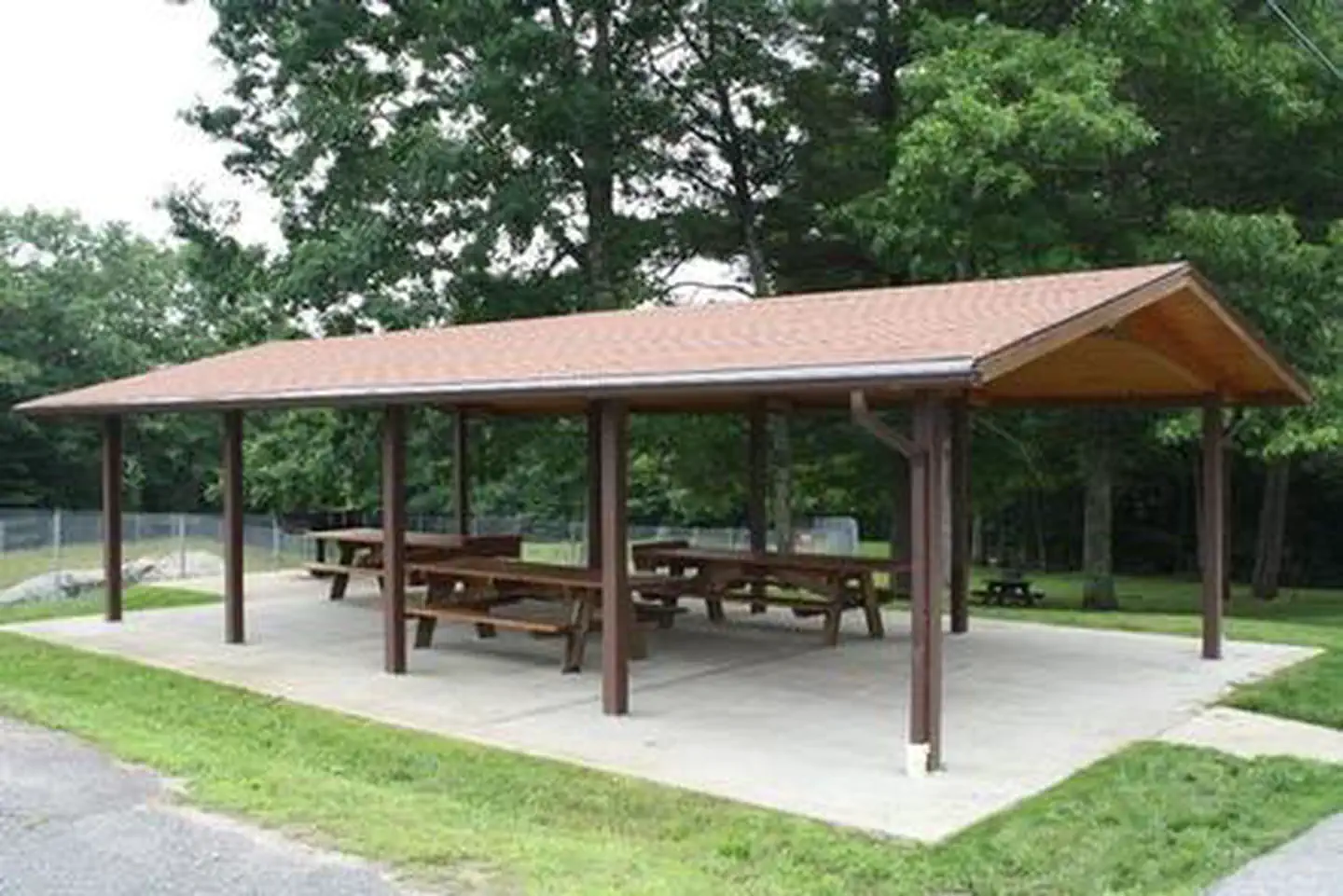
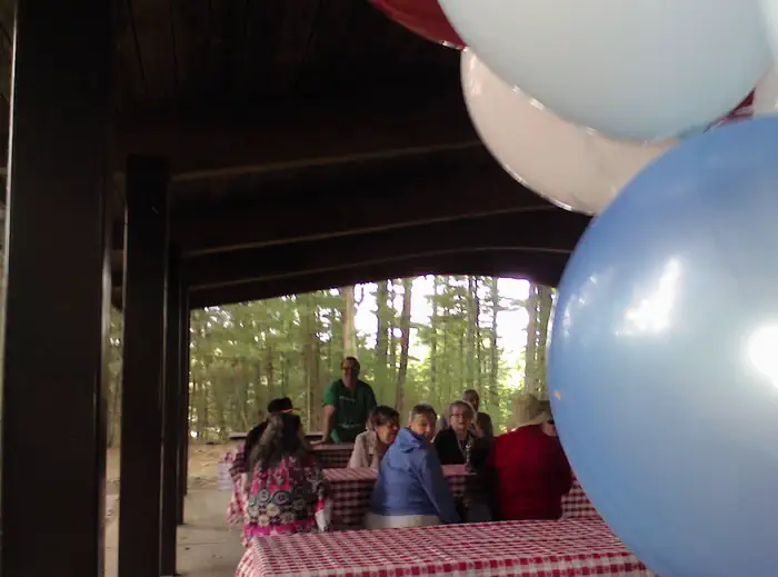
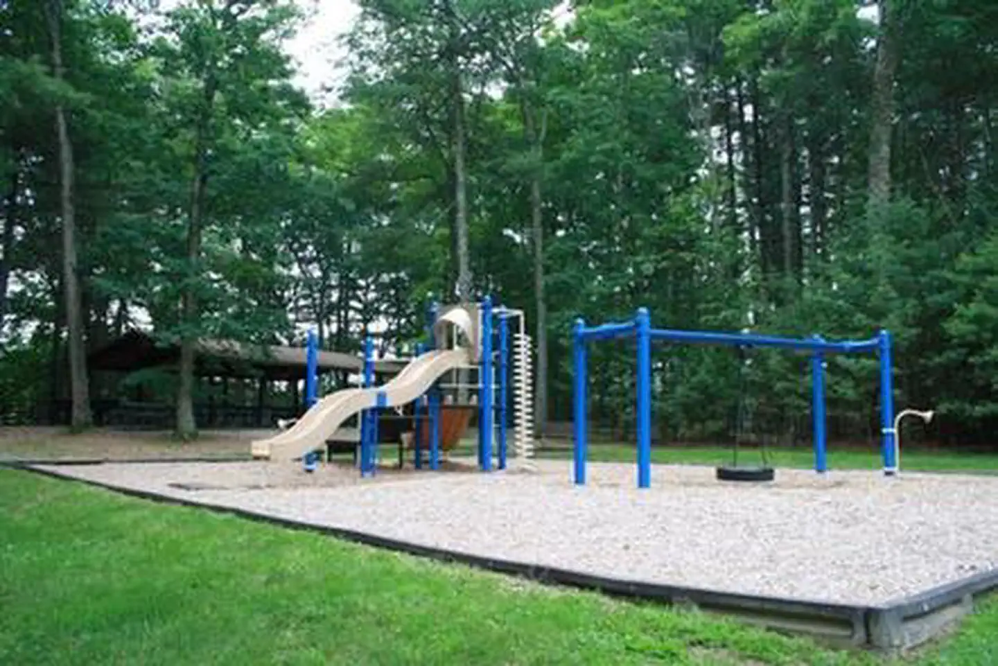
Overview On a quiet back road and across an old fieldstone bridge lies West Hill Park, where the West River widens to form a large, natural pool. The park and its many services and activities, including a swimming beach, accessible playground, nature trails and calm, clean water, attract visitors of all ages. Three group shelters, one near the dam, are ideal facilities for hosting graduation parties, family reunions and church or other organization events. The recreation area can be reserved during summer, though guests are invited to walk or cross-country ski during daylight hours at other times of year. Recreation Visitors can attend nature programs given by park rangers. Families of all ages can enjoy swimming in a small natural pool, as well as picnic, hike, bike and play. About 2 miles of hiking trails meander through the woodlands and provide secluded views of the river. Seasonal hunting and fishing are popular at the lake. Anglers find trout in the main river channel and bass, pickerel and horned pout in the pools. Hunting for deer, small game and upland birds is permitted in accordance with state laws. The park hosts several special events annually, including the Family Fishing Fair in June and the volunteer-based National Public Lands Day in September. Facilities The park is an attractive facility that offers two sandy swimming beaches, nearly 5 miles of nature, mountain biking and hiking trails, a sand volleyball court, an accessible playground, a change house by the beach, bathrooms with flush toilets, grills and picnic areas. Three picnic shelters are available for groups of up to 30 or 100 people. Two shelters are in the park and the other is near the dam. Natural Features The West River winds through some 567 acres of white pine and red oak forest, broken up by rolling meadows. Red maple swamps and several bogs fill the lowlands while three small brooks feed the river. Woods, fields, wetlands and streams provide habitat for both resident and migratory wildlife. Red fox, raccoon, deer and an occasional coyote find protection in the woods. Open fields attract rabbits, mice, butterflies, hawks and owls. Streams and wetlands are home to fish, spring peepers, box turtles and great blue herons, among others. The diverse habitat makes the one of the finest birding areas with 200 species sited annually. Spring and fall migrations bring the greatest diversity of species. Spring and summer also yields excellent wildflower viewing. Nearby Attractions Blacksstone River Valley National Historic Corridor, (508) 234-4242.
From the managing agency.
Is WEST HILL PARK free?
No. WEST HILL PARK charges a fee.
How do I get to WEST HILL PARK?
WEST HILL PARK is at 42.1119, -71.6033. We do not hold written directions for this one, so navigate to the coordinates.
Nearby
- Buffumville Lake (Group Shelter)15.7 mi
- West Thompson Lake Campground18.7 mi
- WESTVILLE RECREATION AREA23.8 mi
- TULLY LAKE RECREATION AREA (MA)48.3 mi
No other services within 50 mi on the record.
SourceSource data is agency published. Last synced September 19, 2026. Community reports and photos are submitted by travelers and are not verified by the agency.
