
RED CREEK GROUP SITE
Campground · Fee not listed
Fast facts
- Cost
- Not listed. Check locally.
- Type
- Campground
- Phone
- 970-641-2337
- Nearest dump station
- Taylor Lagoons Dump Station · 45.8 mi
- Coordinates
- 38.4853, -107.2400
- Last verified
- September 19, 2026

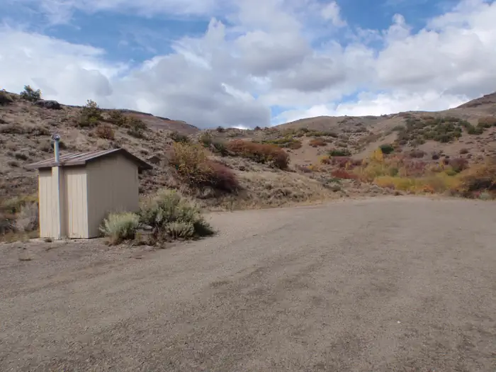

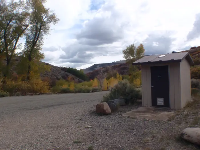
About this place
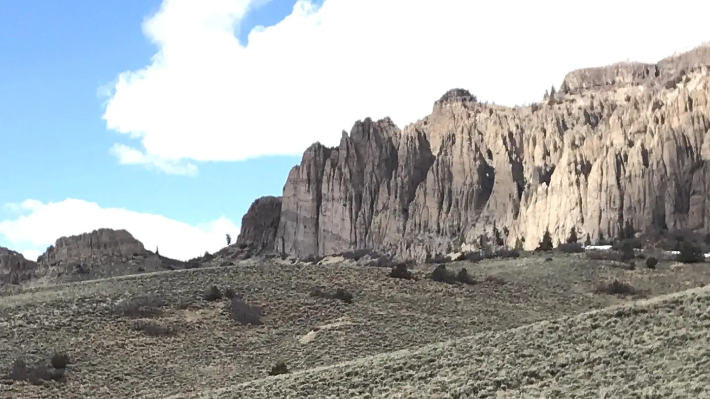
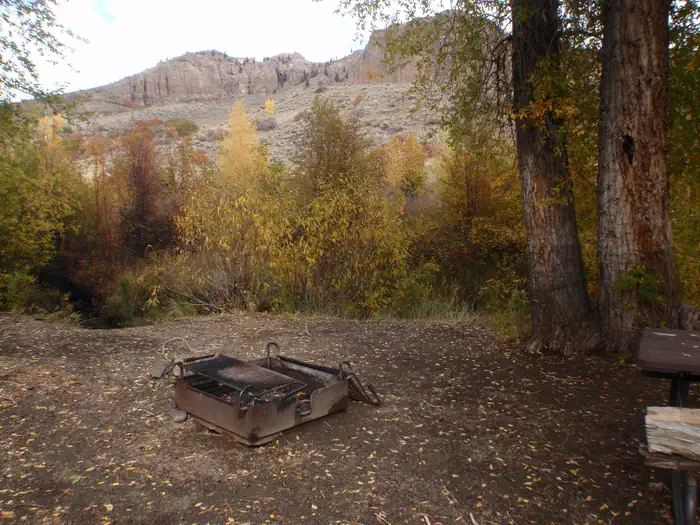
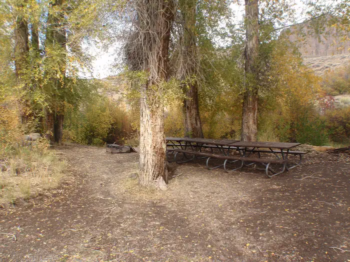
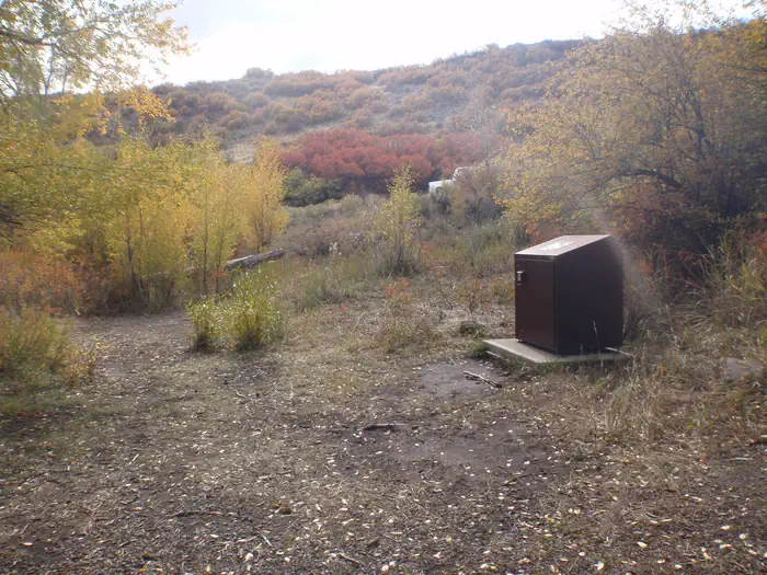
Overview In the heart of southwest Colorado is a group camp getaway for nature lovers and outdoor sports-enthusiasts. The Red Creek Group Site is located in the Curecanti Recreation Area, just south of the West Elk Mountains. The campground is surrounded by national forests and park lands with Gunnison National Forest to the north, Black Canyon to the west and the Uncompahgre National forest to the southwest. A wide range of mammals can be found within Curecanti, including mule deer, mountain lions, black bears, prairie dogs, bighorn sheep, elk and the occasional moose. Bald eagles come here to fish in winter. Recreation Hikers may enjoy the Dillon Pinnacles Trail for views of spires formed by erosional forces working volcanic debris. The trail is a lollipop of about 4 miles. Anglers can enjoy fishing for brown, rainbow, and Mackinaw trout and Kokanee salmon. The population of Kokanee salmon is denser at Blue Mesa Reservoir than anywhere else in the country. Facilities This is a group camping site for a minimum of 9 people and a maximum of 20 people. Recreation vehicles over 22'' not reccomended. Natural Features “This area is characterized by semi-arid shrubland with large cottonwood trees lining the campground. Red Creek flows out of the West Elk Mountains, through this campground, and into Blue Mesa Reservoir. By mid to late summer, the creek is low enough for wading. Some small fish inhabit the deeper pools.” Blue Mesa connects to the Morrow Point Reservoir, which flows down to the more isolated Crystal Reservoir. The passage of the Gunnison River is marked by the steep, narrow cliffs of the Black Canyon. Nearby Attractions The Cimarron Canyon Rail Exhibit features a display of an old-fashioned locomotive at the last remaining railroad trestle in the Black Canyon on the Gunnison route. The bonus is picture-perfect access to the tallest cliffs in the canyon. The Red Creek Road, which passes by the campground, provides access to national forest lands where hiking abounds. Charges & Cancellations
From the managing agency.
Is RED CREEK GROUP SITE free?
We do not have a fee on record for RED CREEK GROUP SITE. Confirm the cost locally before you go.
How do I get to RED CREEK GROUP SITE?
RED CREEK GROUP SITE is at 38.4853, -107.2400. We do not hold written directions for this one, so navigate to the coordinates.
Nearby
SourceSource data is agency published. Last synced September 19, 2026. Community reports and photos are submitted by travelers and are not verified by the agency.
