
LAKE FORK CAMPGROUND
Campground · Fee not listed
Fast facts
- Cost
- Not listed. Check locally.
- Type
- Campground
- Phone
- 970-641-2337
- Nearest dump station
- Taylor Lagoons Dump Station · 51.0 mi
- Coordinates
- 38.4589, -107.3300
- Last verified
- September 19, 2026
About this place
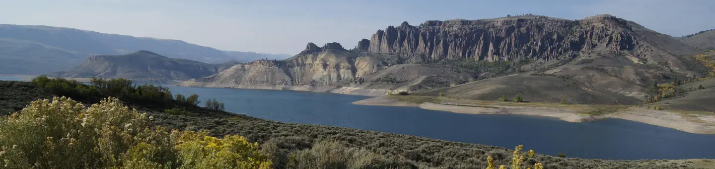
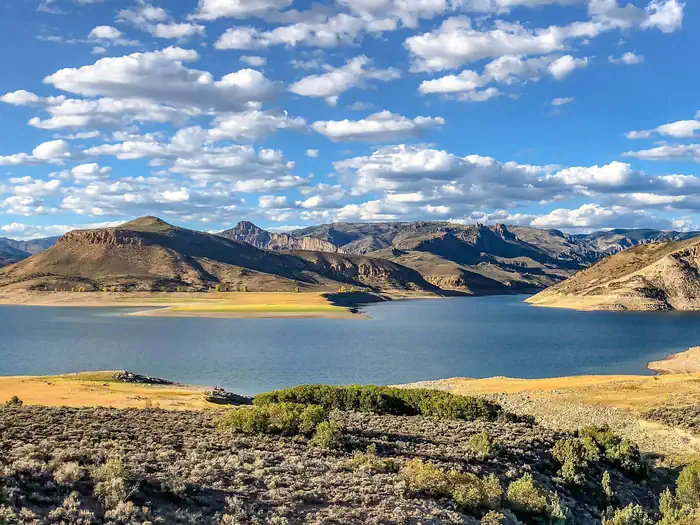
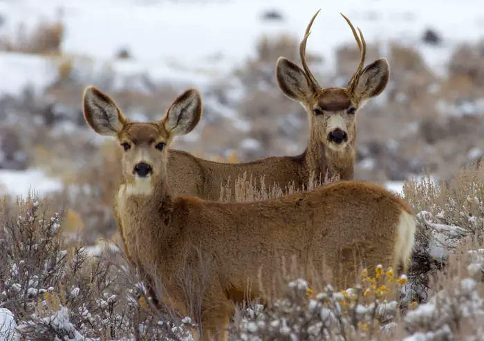
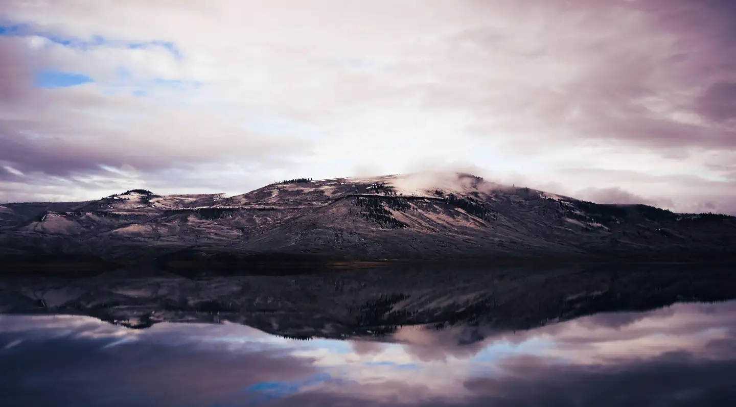
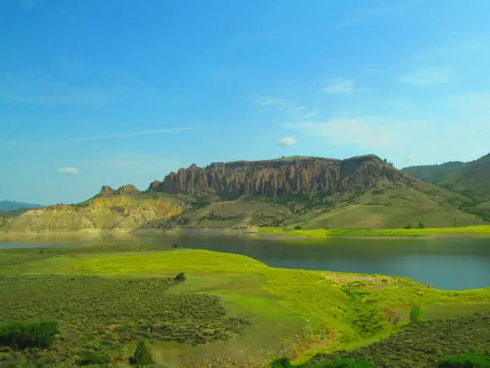
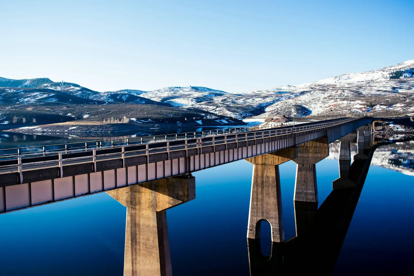
Overview Lake Fork Campground is on the Blue Mesa Reservoir, near the reservoir's dam. It is a part of the historic Curecanti Recreation Area and is an ideal place to stay for days of boat recreation, hiking and taking in the views of the Black Canyon. Recreation Jet skiing, water skiing and canoeing are some of the many water activities available on the reservoir. Bird Watching is also rewarding, with chances to see the black-billed magpie. Along the shrubland, visitors can spot Gunnison's Prairie Dogs popping out of their holes. Facilities Flush toilets are available in summer months. Cell phone service is limited. For anglers, a fish cleaning station is provided for conveniently preparing the days catch. Elk Creek, Lake Fork and Iola boat ramps are OPEN for the season. Natural Features The steep canyon walls in this part of the reservoir were carved out by the Gunnison River, which once flowed with powerful intensity fueled by the snowmelt of nearby mountains. Today, the Gunnison river is dammed in three places, creating three large and beautiful reservoirs to be enjoyed by visitors. The land is characterized by semi-arid shrubland with vast expanses of sagebrush. The natural features and ecosystems of Curecanti vary greatly, with Riparian habitats, epic canyons and lush patches of Ponderosa pine, Douglas fir and aspen trees. Nearby Attractions The recreation area is just south of Gunnison National Forest and east of the Black Canyon of the Gunnison National Park. There's no shortage of options for Scenic Drives and Hiking. Try hiking the Curecanti Creek Trail or Hermit's Rest Trail off HWY 92.. Charges & Cancellations
From the managing agency.
Is LAKE FORK CAMPGROUND free?
We do not have a fee on record for LAKE FORK CAMPGROUND. Confirm the cost locally before you go.
How do I get to LAKE FORK CAMPGROUND?
LAKE FORK CAMPGROUND is at 38.4589, -107.3300. We do not hold written directions for this one, so navigate to the coordinates.
Nearby
SourceSource data is agency published. Last synced September 19, 2026. Community reports and photos are submitted by travelers and are not verified by the agency.
