
NORTH FORK CAMPGROUND
Campground · Fee not listed
Fast facts
- Cost
- Not listed. Check locally.
- Type
- Campground
- Phone
- 970-927-0107
- Nearest dump station
- Taylor Lagoons Dump Station · 100.0 mi
- Coordinates
- 40.0583, -107.4497
- Last verified
- September 19, 2026
About this place
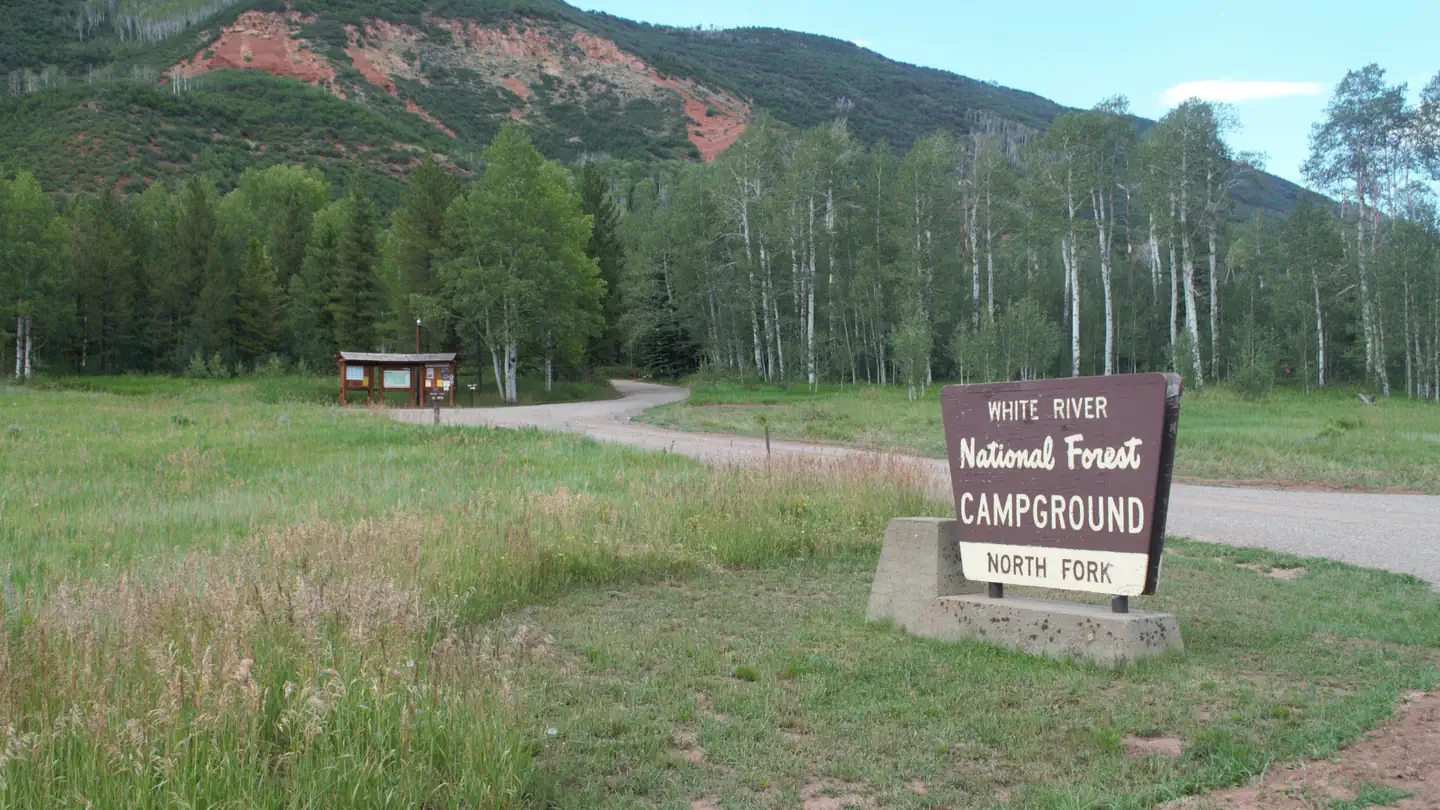
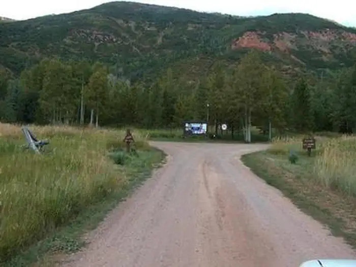
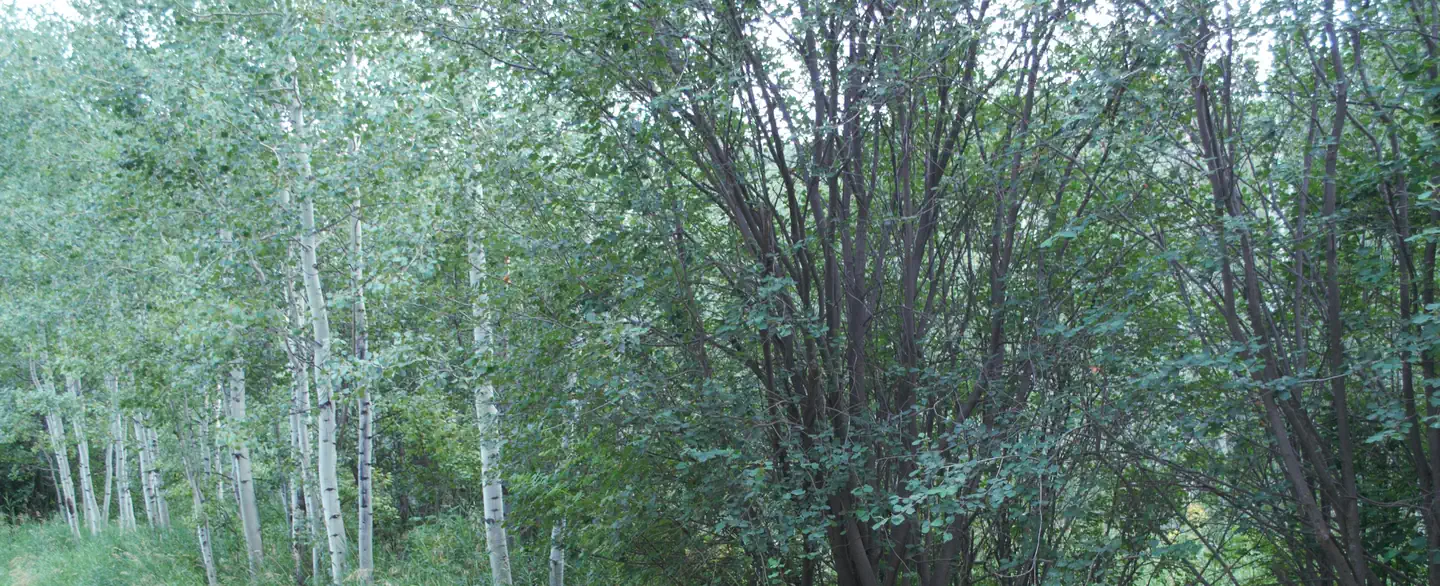
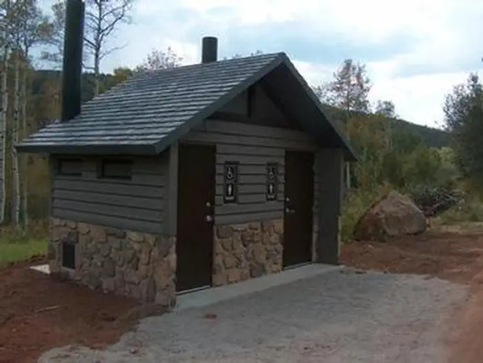
Overview North Fork Campground is set in a towering aspen grove on the western slope of the Colorado Rockies at an elevation of 7,800 feet. This is an ideal setting for guests seeking recreation and relaxation. Most sites are widely spaced and open up to the river valley, though a heavy understory of tall grass and wild roses provide privacy. The North Fork of the White River is across from the campground. Recreation Flowing near the campground is the North Fork of the White River, renowned for its fly fishing. Rainbow, brown, cutthroat and brook trout are plentiful in this waterway. The nearby peaks and soothing sounds from the river offer anglers a perfect backdrop to an afternoon of fishing. Other wildlife such as deer, elk and moose, also frequent this area. The North Fork Campground is close to a number of OHV trails. Use caution when riding, as domestic cattle and sheep may be grazing in the area. Hikers, hunters, mountain bikers and equestrians can also find recreational opportunities nearby. Facilities North Fork Campground has 28 standard sites able to accommodate tents, trailers, and RVs. The campground is equipped with picnic tables, campfire rings, vault toilets, and drinking water. Electrical hook-ups are not available. Firewood is available on-site. Natural Features In the heart of the Rocky Mountains, the 2.3 million acre White River National Forest is a place of serenity and adventure, boasting 8 wilderness areas, 4 defined seasons, and 10 peaks surpassing 14,000 feet in elevation. Wildlife in the area abounds. Bighorn sheep navigate rocky ridges and bull elk bugle at dusk. Scenic rivers sustain populations of cutthroat, rainbow, and brown trout. Alpine regions provide habitat for pika and ptarmigan. These species, along with many others, depend on surrounding undeveloped wilderness, clean streams, and diverse forests to live. The campground sits above the North Fork White River valley, surrounded by forested mountain peaks. Nearby Attractions Fishing Access: many areas alongside County Road 8; Lost Creek Trail Access: Lost Creek Trail #1808, Long Park Trail #1809, Snell Creek Trail #1810, Lily Pond Trail #1811, Big Ridge Trail #1820 Off-Highway Vehicle Access: East Beaver-Yellow Jacket Road #250, Cattle Creek Road #235, Fawn Creek Road #280, Deadhorse Loop Road #230, Pagoda Lake Trail #1804 Contact Info For facility specific information, please call (801) 226-3564. Charges & Cancellations Once your reservation start date has begun, neither the Recreation.gov Contact Center nor the campground manager will be able to modify your reservation.
From the managing agency.
Is NORTH FORK CAMPGROUND free?
We do not have a fee on record for NORTH FORK CAMPGROUND. Confirm the cost locally before you go.
How do I get to NORTH FORK CAMPGROUND?
NORTH FORK CAMPGROUND is at 40.0583, -107.4497. We do not hold written directions for this one, so navigate to the coordinates.
Nearby
SourceSource data is agency published. Last synced September 19, 2026. Community reports and photos are submitted by travelers and are not verified by the agency.
