
Marvine Campground
USFS · Campground · Fee
Fast facts
- Cost
- Fee charged
- Managed by
- USFS
- Type
- Campground
- Reservations
- recreation.gov
- Phone
- 970-878-9969
- Nearest dump station
- Taylor Lagoons Dump Station · 96.3 mi
- Coordinates
- 40.0069, -107.4261
- Last verified
- September 19, 2026
About this place
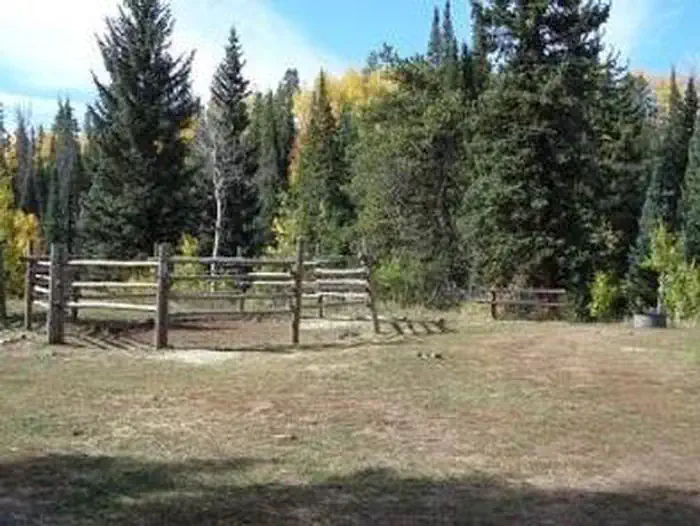
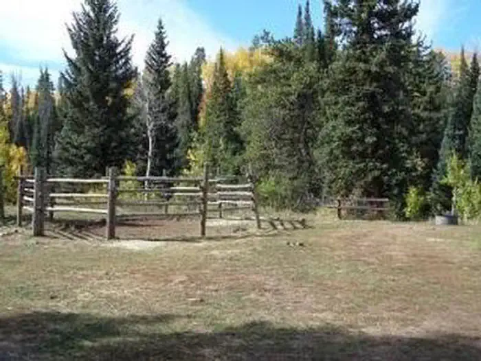
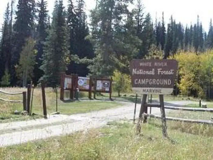
Overview Marvine Campground is set in a towering grove of mixed conifer and aspen trees on the western slope of the Colorado Rockies at an elevation of 8,200 feet. This is an ideal setting for guests seeking recreation and relaxation. Hikers, hunters, anglers and equestrians can also find recreational opportunities nearby. This is a good base for hiking and horseback riding in the Flat Tops Wilderness. Enjoy elk hunting amidst one of the largest elk herds in North America. Recreation This popular campground is located 36 miles east of Meeker along Marvine Creek. It offers access to a number of trails and lakes for hiking, fishing and hunting. Fishing is available in Marvine and East Marvine Creeks, and in the Flat Tops Wilderness at Marvine Lakes. Marvine Trail #1823 and East Marvine Trail #1822 both begin near the campground. Facilities Marvine Campground has five horse campsites. The only corrals available for public use are the ones at the horse camp sites in the campground. The corrals at the Marvine Trailhead are for Outfitter and Guide use only. Additional facilities at the campground include tables, fire grates, vault toilets and hand pump drinking water. Trash service is provided. Electrical hook-ups are not available. Livestock may be watered in the stream, about 200 yards from the campground. Natural Features In the heart of the Rocky Mountains, the 2.3 million acre White River National Forest is a place of serenity and adventure, boasting 8 wilderness areas, 4 defined seasons, and 10 peaks surpassing 14,000 feet in elevation. Wildlife in the area abounds. Bighorn sheep navigate rocky ridges, moose graze along the streams and bull elk bugle at dusk. Scenic rivers sustain populations of cutthroat, rainbow, and brown trout. Alpine regions provide habitat for pika and ptarmigan. These species, along with many others, depend on surrounding undeveloped wilderness, clean streams, and diverse forests to live. Contact Info For facility specific information, please call (801) 226-3564. Nearby Attractions East Marvine Trail #1822: The trail leads up East Marvine Creek, through the Flat Tops Wilderness to Johnson Lake. At the summit Big Marvine Peak offers a panoramic view of the Flat Tops Wilderness and the surrounding area. Marvine Trail #1823: The Marvine Trail begins at the end of County Road 12 right outside the campground. It accesses Marvine Creek and Marvine Lakes providing a great opportunity to fish. Marvine Lake and Slide Lake: These two lakes cover 135 surface acres and offer rainbow, brook, and cutthroat trout fishing. West Marvine Trail #1868 Papoose Creek Trail #2248: leads up Papoose Creek past several short waterfalls, to Papoose Basin. It then climbs onto the Flat Tops Plateau where it intersects the Oyster Lake Trail 1825. Ute Creek Trail #1824 Charges & Cancellations Once your reservation start date has begun, neither the Recreation.gov Contact Center nor the campground manager will be able to modify your reservation.
From the USFS.Official page
Is Marvine Campground free?
No. Marvine Campground charges a fee. It is managed by the USFS. Sites are reservable through recreation.gov.
How do I get to Marvine Campground?
Marvine Campground is at 40.0069, -107.4261. We do not hold written directions for this one, so navigate to the coordinates.
What are the rules at Marvine Campground?
Only certified weed-free forage and bedding is allowed in the campground. The East Marvine and Marvine Trails lead into the Flat Tops Wilderness where regulations apply .
Nearby
SourceData from the USFS. Last synced September 19, 2026. Community reports and photos are submitted by travelers and are not verified by the agency.
