
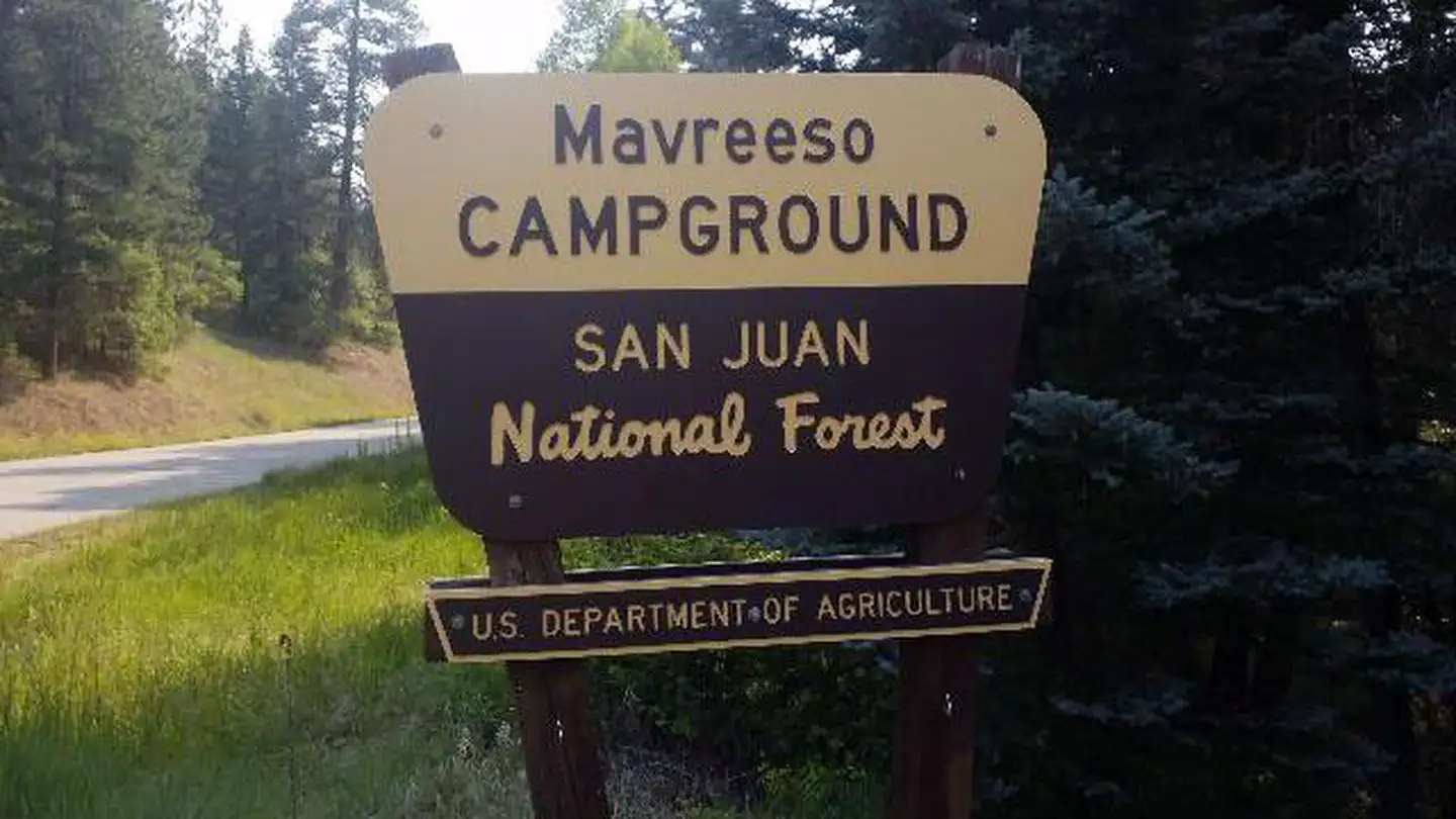
MAVREESO CAMPGROUND
USFS · Campground · Fee
Fast facts
- Cost
- Fee charged
- Managed by
- USFS
- Type
- Campground
- Hours
- May - September
- Reservations
- recreation.gov
- Coordinates
- 37.6511, -108.2969
- Last verified
- September 19, 2026
About this place
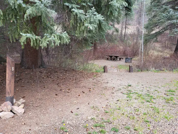
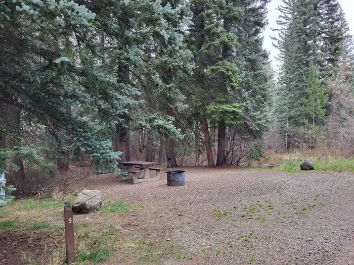
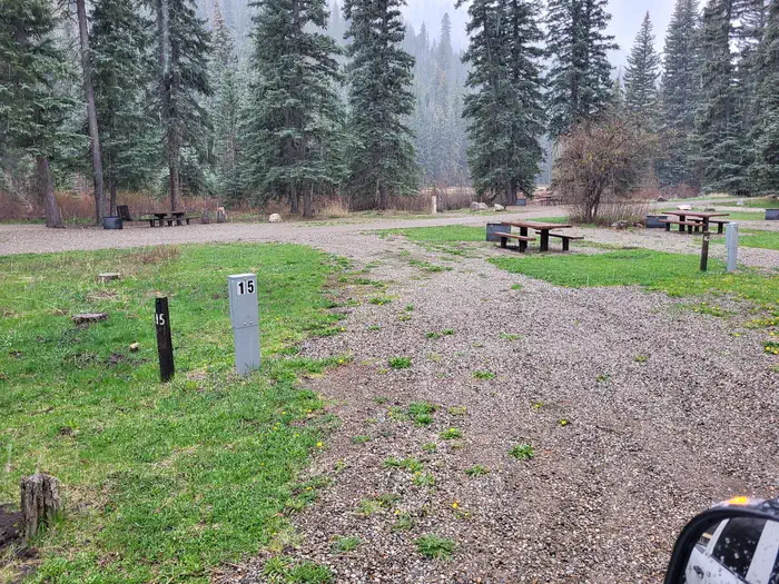
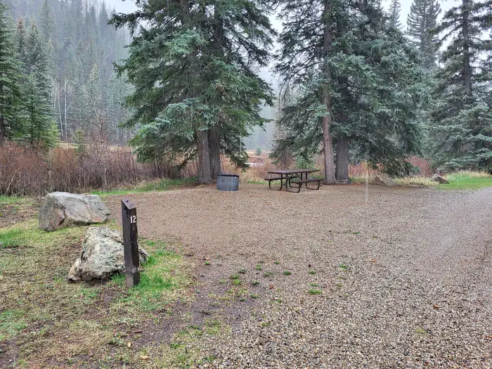
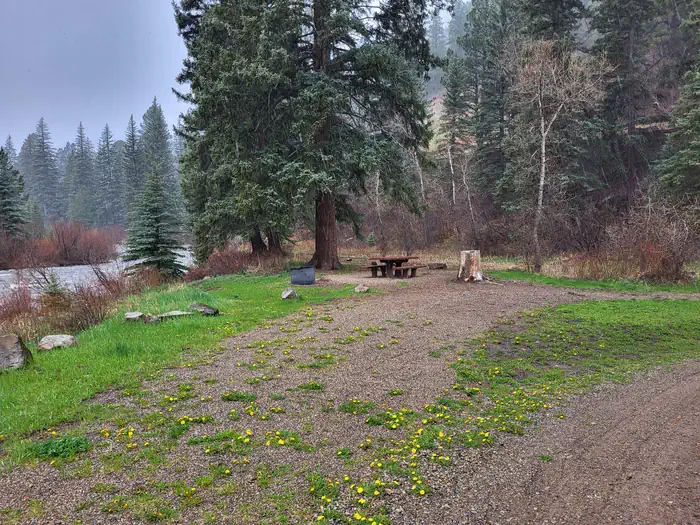
Overview Mavreeso Campground is located on the West Dolores Road (Forest Road 535), which branches north from Colorado Highway 145 about 20 miles northeast of Dolores. It is a great place to relax and enjoy the outdoors by hiking, biking and fishing. Recreation The West Dolores River offers fishing for brown, rainbow, cutthroat and brook trout. A parking area is available for fisherman. Several parcels of private property are found along the river. Visitors are asked to stay on the trail and not trespass. Mountain biking is allowed on Forest Roads 532 and 535. Forest Service Trail 624 begins two miles south of the campground. Facilities The campground offers single-family sites, a few of which have electric hookups. A group site can accommodate up to 40 people. Accessible picnic tables, campfire rings and grills are provided, as are vault toilets and drinking water. Natural Features The campground stretches along the banks of the West Dolores River, which has its headwaters in the nearby Lizard Head Wilderness. A shady forest of spruce, ponderosa pine and Douglas fir covers the campground. It is situated at an elevation of 7,600 feet. Contact Info For facility specific information, please call (661) 702-1420. Nearby Attractions Southwestern Colorado, part of the Four Corners region, contains more than 4,000 archaeological sites and more than 600 cliff dwellings. Mesa Verde National Park is an hour and a half south of the campground, close enough for a day trip. Other sites within the region include the Anasazi Heritage Center in Dolores, Canyon of the Ancients and Hovenweep National Monument. The historic mining town of Dunton Hot Springs is just 15 miles north of the campground. A resort there offers six hot springs pools ranging in temperatures from 85 through 106 degrees, dining, lodging, guided horseback rides, fly-fishing trips and hiking. Charges & Cancellations Cancellations Individual Campsites: Cancellations up to 2 days before a reservation start date incur a $10.00 cancellation fee. A visitor who cancels a reservation the day before or on the day of arrival will pay a $10.00 service fee AND forfeit the first night's use fee including tax and applicable add-on for a campsite. Cancellations for a one-night reservation will forfeit the entire amount paid and will not be subject to an additional service fee. Group Sites Group Facility (including Cabins and Lookouts): A visitor who cancels a group overnight facility reservation less than 14 days before the arrival date will pay a $10.00 service fee AND forfeit the first night's use fee. No-Shows A no-show visitor is one who does not arrive at a campground and does not cancel the reservation by check-out time on the day after the scheduled arrival date. Staff will hold a campsite until check-out time on the day following the arrival date. No-shows are assessed $20.00 service fee and forfeit the first night's rate, taxes and applicable add-on for a campsite. Refunds Visitors may submit a refund request through their Recreation.gov profile within 7 days of the end date of their reservation. Refunds will not be issued after the 7 days has ended. Refunds for debit or credit card payments will be issued as a credit to the original bank or credit card used to pay. For check or cash purchases, Recreation.gov will mail a Treasury check for refunds of cash, check, or money order payments to the address associated with the reservation. Treasury check refunds may take up to 6-8 weeks to arrive. In the event of an emergency closure, the Recreation.gov team or facility manager will refund all fees and will attempt to notify you using the contact information within the Recreation.gov visitor profile.
From the USFS.Official page
Is MAVREESO CAMPGROUND free?
No. MAVREESO CAMPGROUND charges a fee. It is managed by the USFS. Sites are reservable through recreation.gov.
How do I get to MAVREESO CAMPGROUND?
From Dolores, CO: Head north on Highway 145 for approximately 13 miles. Turn left onto West Dolores Road, County Rd 38/FR #535 and continue for approximately 6 miles. Campground is on your right. Mavreeso is one of three campgrounds along the West Dolores Road (Forest Rd. 535) that follows the West Dolores River almost to its headwaters in the Lizard Head Wilderness. Side roads lead into the backcountry. After 32 miles, the road rejoins the highway 6 miles north of Rico. The road has a gravel surface, but the last 6 miles are steep, narrow, and not recommended for trailers. Mavreeso Campground area map
What are the rules at MAVREESO CAMPGROUND?
Quiet time is typically between 10pm - 6am. Please be a good neighbor and limit use of generators to no more than one hour at a time. Dogs must be leashed or otherwise physically restrained. Do not leave pets unattended. Check-out time: 12:00 pm; Check-in time: 2:00 pm - if the site is empty, campers may come in anytime. Standard single site occupancy is 8, but a single family with > 8 members is acceptable. Equipment with wheels (RVs, campers, cars) must fit in the parking spur. There is not any overflow parking available. Max RV size = 35 ft Do not trespass on private property along the river. Accessibility: Barrier-free sites available
Nearby
- WEST DOLORES CAMPGROUND1.3 mi
- Jersey Jim Fire Tower12.3 mi
- Aspen Guard Station12.8 mi
- Transfer Campground13.6 mi
- Burro Bridge Horse Camp15.7 mi
- Burro Bridge15.7 mi
- HOUSE CREEK15.7 mi
- House Creek Campground16.1 mi
No other services within 50 mi on the record.
SourceData from the USFS. Last synced September 19, 2026. Community reports and photos are submitted by travelers and are not verified by the agency.
