
Whiskey Creek Group Picnic Area (Whiskeytown NRA)
Campground · Fee not listed
Fast facts
- Cost
- Not listed. Check locally.
- Type
- Campground
- Phone
- 530-242-3412
- Nearest dump station
- Old Station Dump Site · 59.3 mi
- Coordinates
- 40.6475, -122.5531
- Last verified
- September 19, 2026
About this place
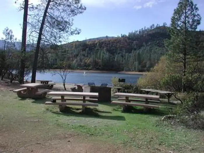
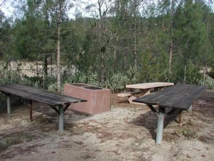
Overview Whiskey Creek Group Picnic Area is located on the northern shore of Whiskeytown Lake in Whiskeytown National Recreation Area, 13 miles west of Redding, California. The Group Picnic Area is a popular spot to celebrate birthdays, family reunions, work events and many other special occasions with a day of waterside fun. This is a day use area only. The hours are 9 am to 9 pm for reservation holders. Alcohol, smoking, and pets are prohibited. Recreation During the summer heat, swimming, kayaking, paddle boarding and fishing are popular activities in the Whiskey Creek arm of the lake. Boats may be launched at nearby Whiskey Creek Launch Ramp and moored along the shore of the Group Picnic Area. Facilities The Group Picnic Area contains one large site and two small sites with dirt surfaces, each with two large serving tables, numerous picnic tables and a large charcoal barbecue grill. We recommend that you bring your own portable shade structures as there are no permanent ones at the site. These sites do not provide electric or water hookups. Two vault toilets service all sites. Natural Features Whiskeytown National Recreation Area is situated where the Klamath Mountains, Cascade and Coast Mountain Ranges and the Sacramento Valley meet, creating a wide variety of wildlife and landscapes. The Group Picnic Area features a protected cove for swimmers. Nearby Attractions The Whiskey Creek Launch Ramp is located 1.6 miles from the Group Picnic Area. Boats may be launched from there and moored at the Group Picnic Area. Boats are available for rent at Oak Bottom Marina, located 5.5 miles from the Group Picnic Area. Call (530) 359-2671.
From the managing agency.
Is this site free?
We do not have a fee on record for this site. Confirm the cost locally before you go.
How do I get to this site?
this site is at 40.6475, -122.5531. We do not hold written directions for this one, so navigate to the coordinates.
Nearby
SourceSource data is agency published. Last synced September 19, 2026. Community reports and photos are submitted by travelers and are not verified by the agency.
