
DRY CREEK GROUP CAMPGROUND (Whiskeytown NRA)
Campground · Fee not listed
Fast facts
- Cost
- Not listed. Check locally.
- Type
- Campground
- Phone
- 530-242-3412
- Nearest dump station
- Old Station Dump Site · 60.9 mi
- Coordinates
- 40.6256, -122.5808
- Last verified
- September 19, 2026
About this place
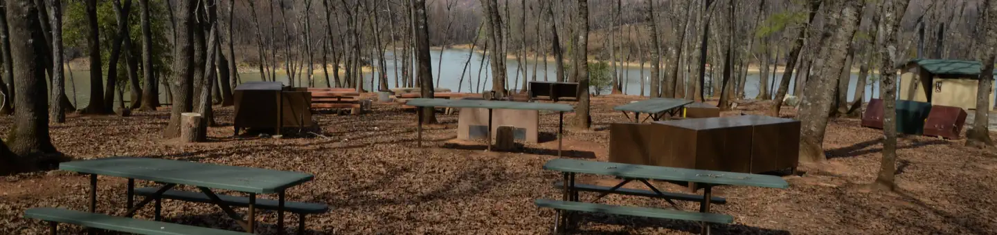
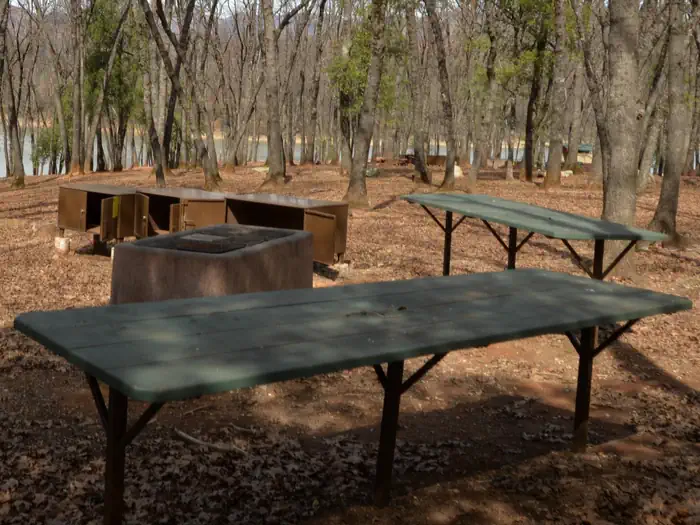
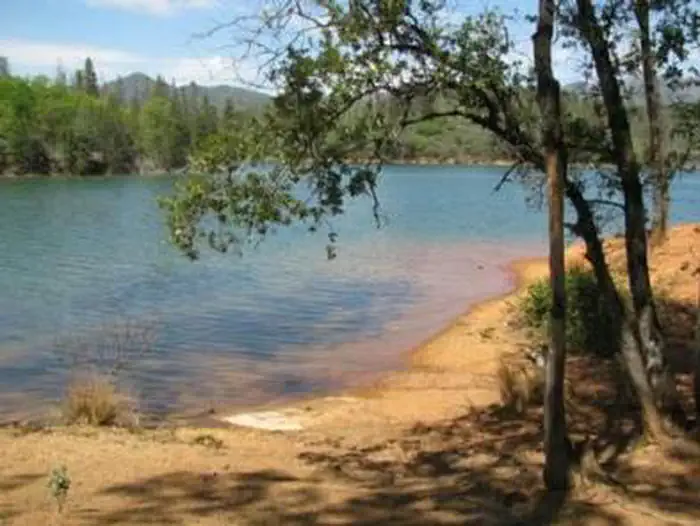
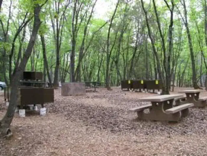
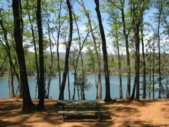
Overview This tent-only group campground is located on the southern shore of Whiskeytown Lake in Whiskeytown National Recreation Area, 14 miles west of Redding, California and three hours north of Sacramento. The cool, clear waters of Whiskeytown Lake provide endless water activities. The picturesque mountain setting and extensive forested backcountry offer ample opportunities for hiking and biking. Recreation During the summer heat, swimming, kayaking, sailing, paddle boarding and water skiing are popular on the 3,200 acre lake. Year round, hiking, mountain biking, horseback riding, gold panning, fishing and picknicking attract visitors. Boats may be launched at nearby Brandy Creek Marina and moored at the campground. Facilities There are two spacious tent-only sites available at Dry Creek. Each site contains two large serving tables, numerous picnic tables, small and large charcoal barbecue grills, a cleared fire pit area, bear-proof storage lockers, vault toilets and drinking water. Natural Features Dry Creek Group Campground affords beautiful lake-side views and a canopy of conifer, oak and maple trees, which offer pleasant shade for campers. Whiskeytown Lake is located where the Klamath Mountains, Cascade and Coast Mountain Ranges, and the Sacramento Valley meet, creating a wide variety of wildlife and landscapes. Contact Info For facility specific information, please call (530) 246-1225. Nearby Attractions Brandy Creek Beach is located one mile from the campground and features sandy beaches and a large swimming area. From Memorial Day through Labor Day, there are showers, a store with food and supplies and rentals of paddleboards and kayaks. The trailhead for Brandy Creek Falls is located four miles away.
From the managing agency.
Is this site free?
We do not have a fee on record for this site. Confirm the cost locally before you go.
How do I get to this site?
this site is at 40.6256, -122.5808. We do not hold written directions for this one, so navigate to the coordinates.
Nearby
SourceSource data is agency published. Last synced September 19, 2026. Community reports and photos are submitted by travelers and are not verified by the agency.
