
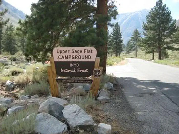
UPPER SAGE FLAT
Campground · Fee not listed
Fast facts
- Cost
- Not listed. Check locally.
- Type
- Campground
- Phone
- 760-935-4339
- Coordinates
- 37.1258, -118.4339
- Last verified
- September 19, 2026
About this place
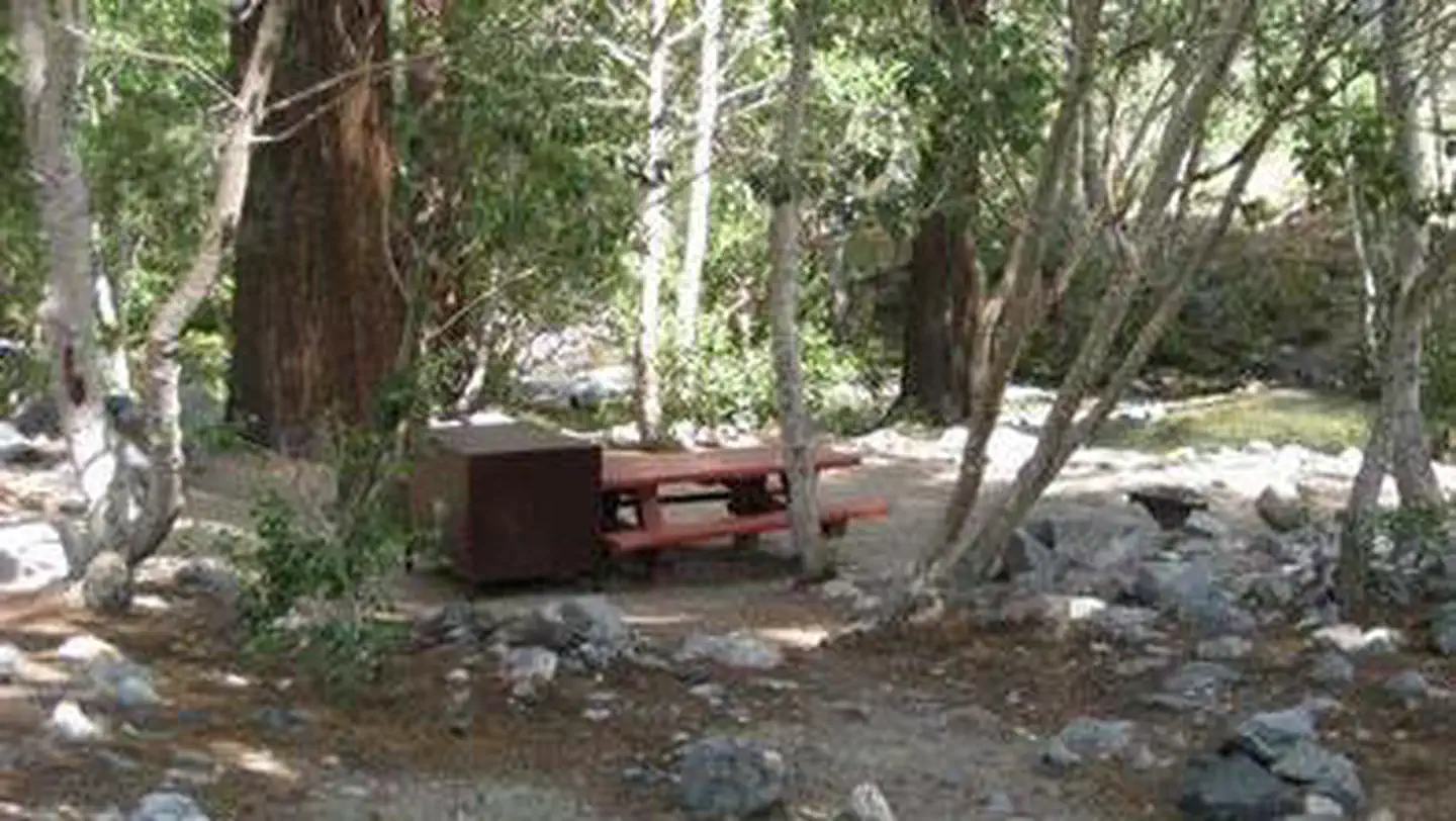
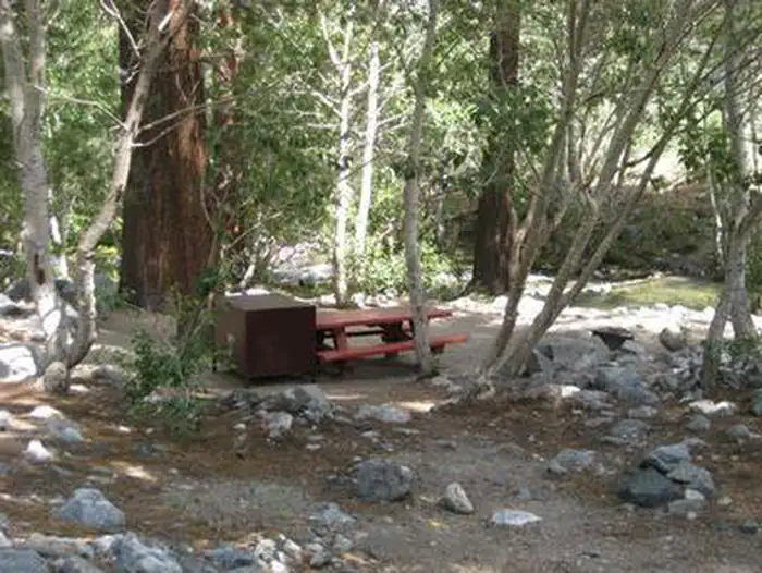
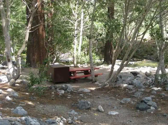
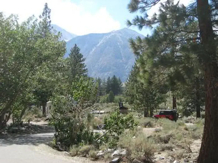
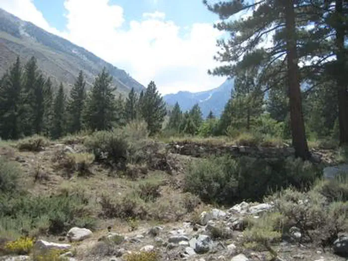
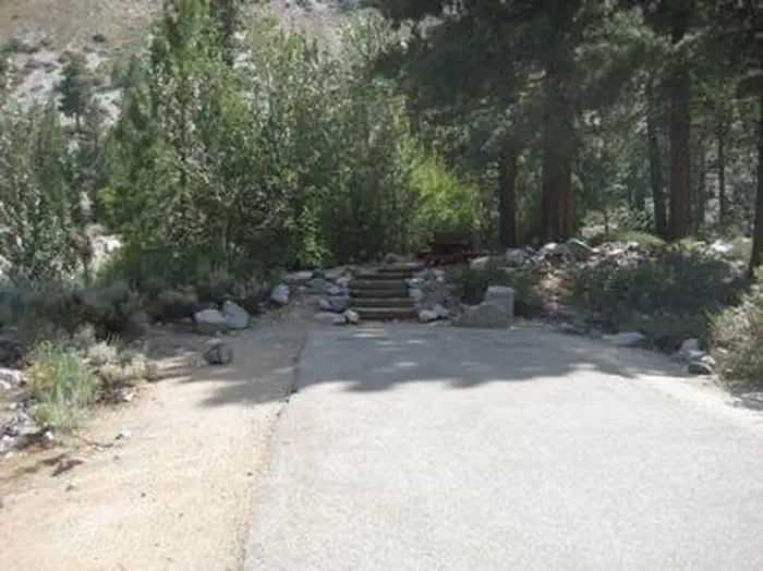
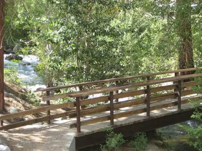
Overview Take the family to Upper Sage for a pleasant camping trip along the banks of Big Pine Creek. Here, visitors can experience the beauty of the creek that runs along the base of a narrow canyon. Visitors can swim or fish, in the creek that is stocked annually with trout, or head to a nearby lake for power boating. Recreation Rainbow, brown, brook and alpers trout swim in the stream, enticing anglers. Hikers are fans of the Big Pine Creek Trail, a 1.5-mile footpath that provides access to the John Muir Wilderness trails. Facilities Parking aprons are paved and most are 40 feet long. Amenities include flush toilets, drinking water, picnic tables and campfire rings. Natural Features The campground is sprawled out along Big Pine Creek beneath shady Jeffrey pines and cottonwoods, just 9 miles west of the town of Big Pine. Inyo National Forest is home to many natural wonders, including Mt. Whitney, Mono Lake, Mammoth Lakes Basin, and the Ancient Bristlecone Pine Forest atop the White Mountains. Bristlecone pines rank as the oldest trees in the world and have achieved immense scientific and cultural importance. Contact Info For facility specific information, please call (760) 872-4552. Nearby Attractions Head to the neighboring John Muir Wilderness for incredible views of Palisades Glacier, the southern-most glacier in the country. Nearby Tinemaha Reservoir provides additional fishing opportunities.
From the managing agency.
Is UPPER SAGE FLAT free?
We do not have a fee on record for UPPER SAGE FLAT. Confirm the cost locally before you go.
How do I get to UPPER SAGE FLAT?
UPPER SAGE FLAT is at 37.1258, -118.4339. We do not hold written directions for this one, so navigate to the coordinates.
Nearby
- BIG PINE CREEK CAMPGROUND0.1 mi
- Clyde Glacier Group Camp0.6 mi
- Big Pine Canyon Group- Clyde Glacier Cam0.7 mi
- BIG PINE CANYON0.7 mi
- Upper Sage Campground0.7 mi
- Sage Flat Campground1.2 mi
- Willow Campground8.4 mi
- TABLE MOUNTAIN (INYO)9.3 mi
No other services within 50 mi on the record.
SourceSource data is agency published. Last synced September 19, 2026. Community reports and photos are submitted by travelers and are not verified by the agency.
