
BIG PINE CANYON
Campground · Fee not listed
Fast facts
- Cost
- Not listed. Check locally.
- Type
- Campground
- Phone
- 760-935-4339
- Coordinates
- 37.1283, -118.4222
- Last verified
- September 19, 2026
About this place
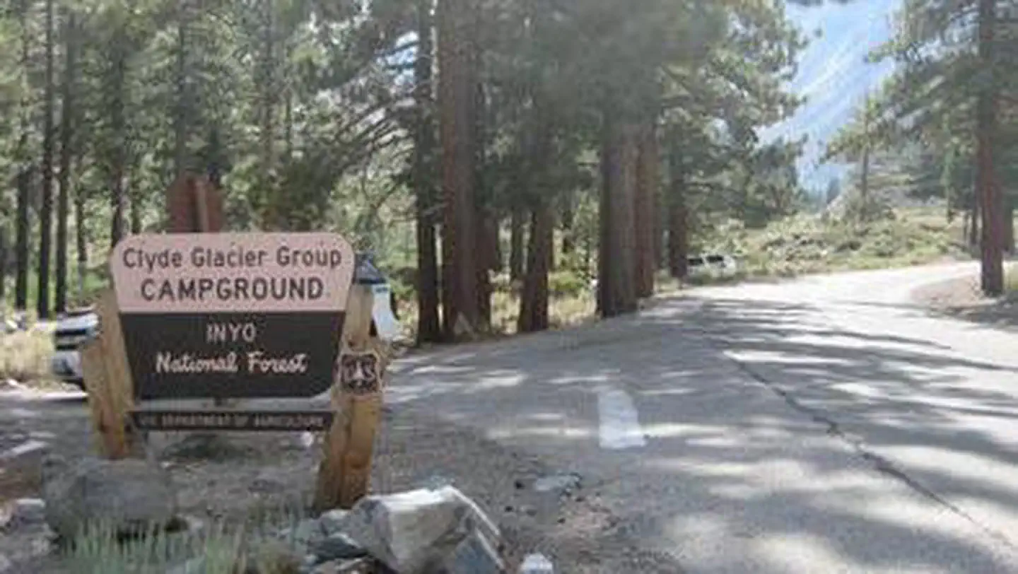
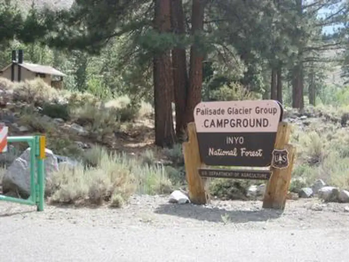
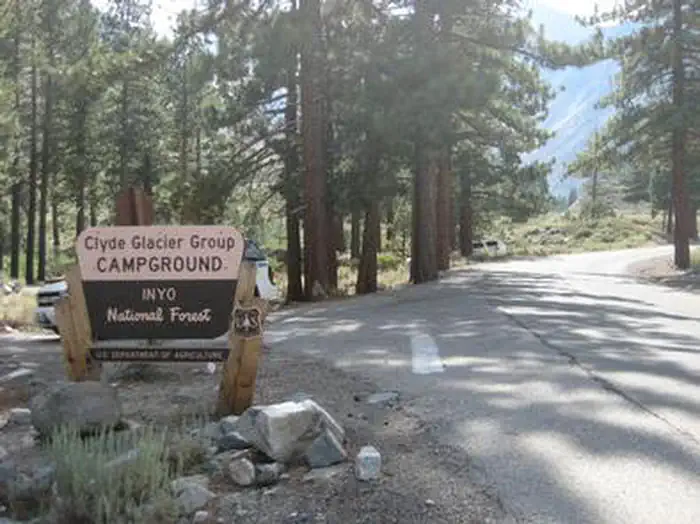
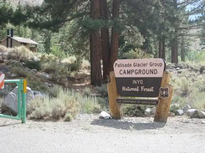
Overview Big Pine Canyon Recreation Area includes two group campground sites. Named for glaciers that can be seen at the end of the valley, Clyde Glacier Group Site and Palisade Glacier Group Site sit along Big Pine Creek. Recreation Fishing is a popular activity in the creek and nearby lakes. Climbers make use of the steep, glacier-carved canyon walls for excellent climbing opportunities. The North Fork Trail climbs past waterfalls and zigzags through Jeffrey pine, manzanita and sage before it reaches Big Pine Lakes with views of Palisade Glacier, the largest glacier. The South Fork Trail climbs to small lakes fed by glacial waters from Norman Clyde and Middle Palisade Glaciers, the southernmost glaciers. Facilities The Clyde Glacier standard campsite fits up to 25 guests. Parking includes two 35-foot and six 20-foot paved spaces. Palisades Glacier campsite is also paved and can accommodate 25 people for tent camping only. Campfire rings and grills are provided. Natural Features Big Pine Canyon is heralded for having both the largest and southern most glaciers in the Sierra Nevada mountains. Palisade Glacier, the largest, sits above Big Pine Lakes. These impressive glacial lakes at around 10,000 feet elevation are the source of the North Fork of Big Pine Creek. The South Fork is bordered by the Palisade Crest with peaks over 14,000 feet and Middle Palisade Glacier, the southernmost glacier. Nearby Attractions The glaciers in the nearby John Muir Wilderness provide an exciting hiking destination. A commercial pack station is within close proximity for horse enthusiasts looking for an outdoor adventure. A general store, pay showers and pond fishing can be found at a nearby resort.
From the managing agency.
Is BIG PINE CANYON free?
We do not have a fee on record for BIG PINE CANYON. Confirm the cost locally before you go.
How do I get to BIG PINE CANYON?
BIG PINE CANYON is at 37.1283, -118.4222. We do not hold written directions for this one, so navigate to the coordinates.
Nearby
- Big Pine Canyon Group- Clyde Glacier Cam0.0 mi
- Clyde Glacier Group Camp0.1 mi
- Upper Sage Campground0.1 mi
- Sage Flat Campground0.5 mi
- BIG PINE CREEK CAMPGROUND0.6 mi
- UPPER SAGE FLAT0.7 mi
- Willow Campground8.9 mi
- TABLE MOUNTAIN (INYO)9.8 mi
No other services within 50 mi on the record.
SourceSource data is agency published. Last synced September 19, 2026. Community reports and photos are submitted by travelers and are not verified by the agency.
