
UPPER OSO CAMPGROUND
Campground · Fee
Fast facts
- Cost
- Fee charged
- Type
- Campground
- Phone
- 805-434-1996
- Coordinates
- 34.5558, -119.7539
- Last verified
- September 19, 2026
About this place
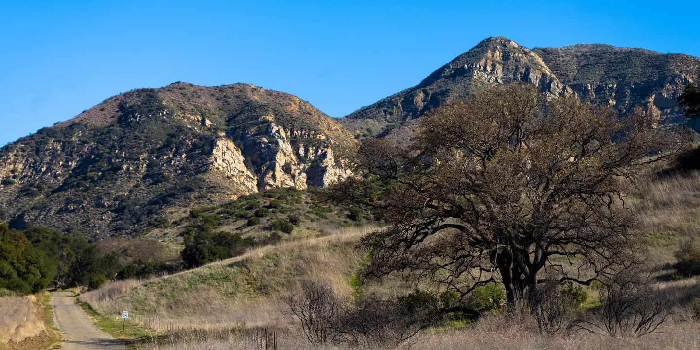
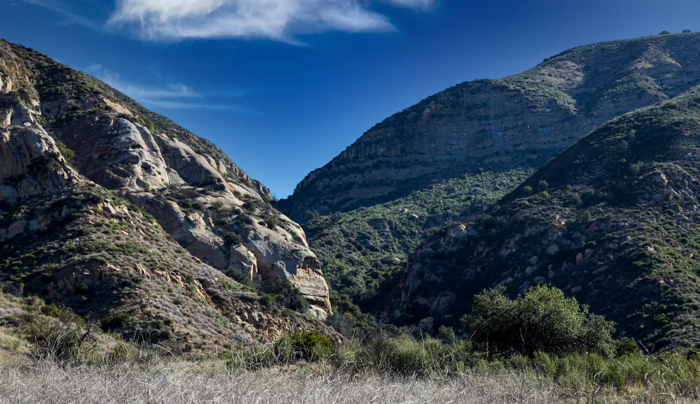
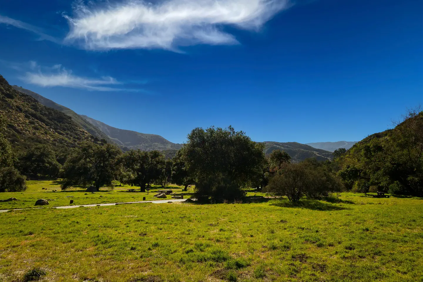
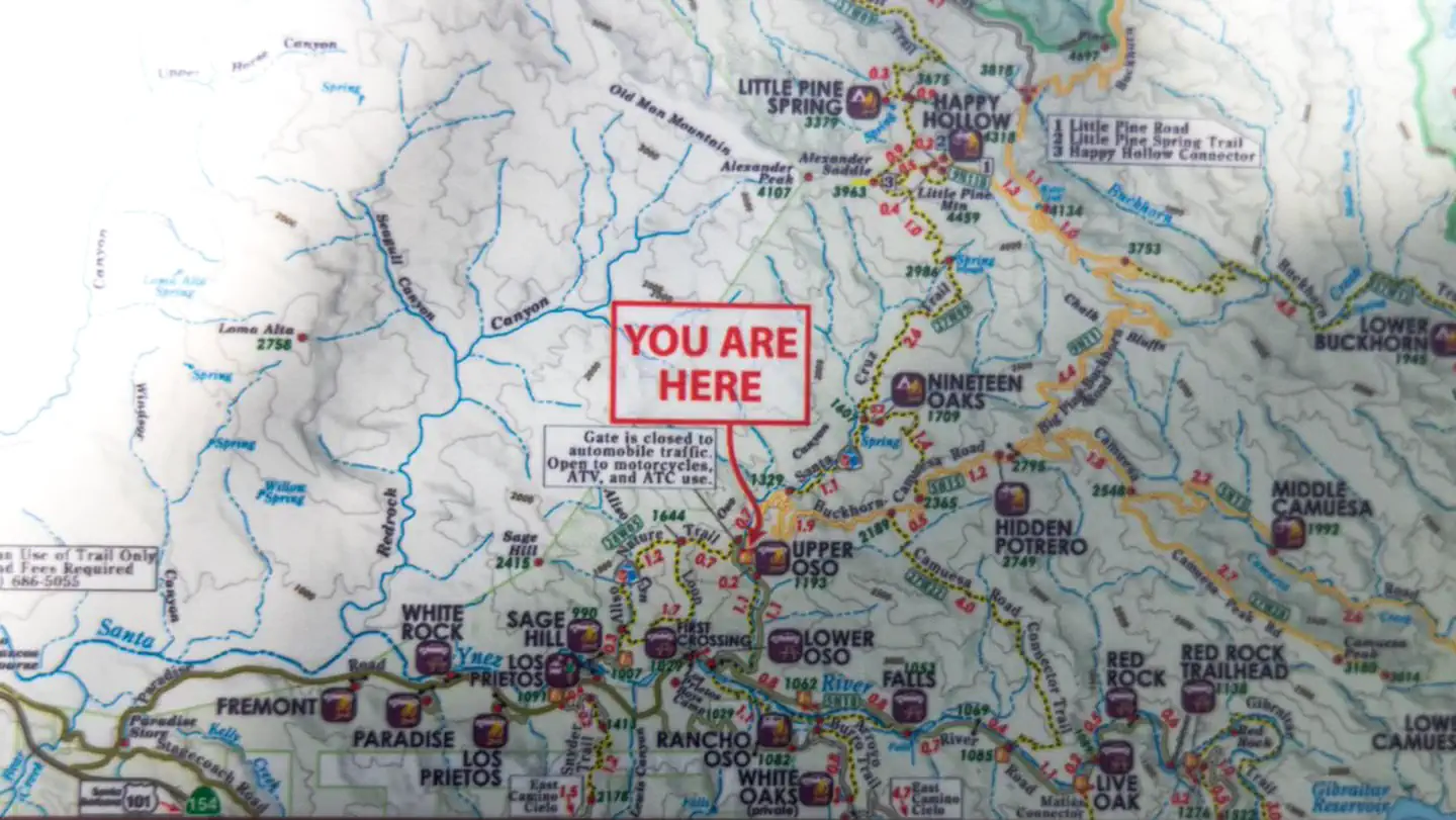
Overview Upper Oso Campground provides ample opportunity for exploration of California's coastal mountains. It is a family-friendly campground, equipped with equestrian sites, and is close to a variety of trails and several mountain streams. Recreation A variety of hiking, mountain biking and horseback riding trails begin in and around the campground, including the Santa Cruz Trail, which traverses 18 miles north to the San Rafael Wilderness. The 2.5-mile Aliso National Recreation Trail leads through scenic areas to a group campsite. Off-road vehicle enthusiasts enjoy the Camuesa OHV Route, which loops about 10 miles through the surrounding forest. Fishing and swimming are available at nearby White Rock Day-Use Area, less than two miles from the campground. The Santa Ynez River is stocked with trout in the springtime. Cachuma Lake Recreation Area, a no-body-contact reservoir, is about 10 miles northwest of the campground. It offers boating, fishing and kayaking. Anglers will find an abundance of annually stocked trout. Carp and bass are also common catches there. Facilities The campground is open year-round and offers around two dozen sites tent or RV camping. About 10 sites are outfitted with horse corrals and extra long, paved parking spurs. Some additional sites are available on a first-come, first-served basis. Each site is equipped with a table, campfire ring with grill and a pedestal grill. Accessible flush toilets and drinking water are provided throughout the campground. Firewood is available for purchase from the on-site campground host. Natural Features The campground is located in the lower Santa Ynez Recreation Area, not far from Santa Barbara. The campground has large sites scattered among plentiful oak trees that provide pleasant shade. It is situated alongside a seasonal creek, at an elevation of 1,040 feet. Nearby Attractions The campground is located about 25 miles north of the city of Santa Barbara.
From the managing agency.
Is UPPER OSO CAMPGROUND free?
No. UPPER OSO CAMPGROUND charges a fee.
How do I get to UPPER OSO CAMPGROUND?
UPPER OSO CAMPGROUND is at 34.5558, -119.7539. We do not hold written directions for this one, so navigate to the coordinates.
Nearby
- UPPER OSO CAMPGROUND0.9 mi
- SAGE HILL2.2 mi
- SAGE HILL2.4 mi
- LOS PRIETOS2.9 mi
- LOS PRIETOS3.3 mi
- Paradise3.4 mi
- PARADISE CAMPGROUND3.5 mi
- FREMONT CAMPGROUND3.9 mi
No other services within 50 mi on the record.
SourceSource data is agency published. Last synced September 19, 2026. Community reports and photos are submitted by travelers and are not verified by the agency.
