
SAGE HILL
Campground · Fee not listed
Fast facts
- Cost
- Not listed. Check locally.
- Type
- Campground
- Phone
- 805-434-1996
- Coordinates
- 34.5392, -119.7911
- Last verified
- September 19, 2026
About this place
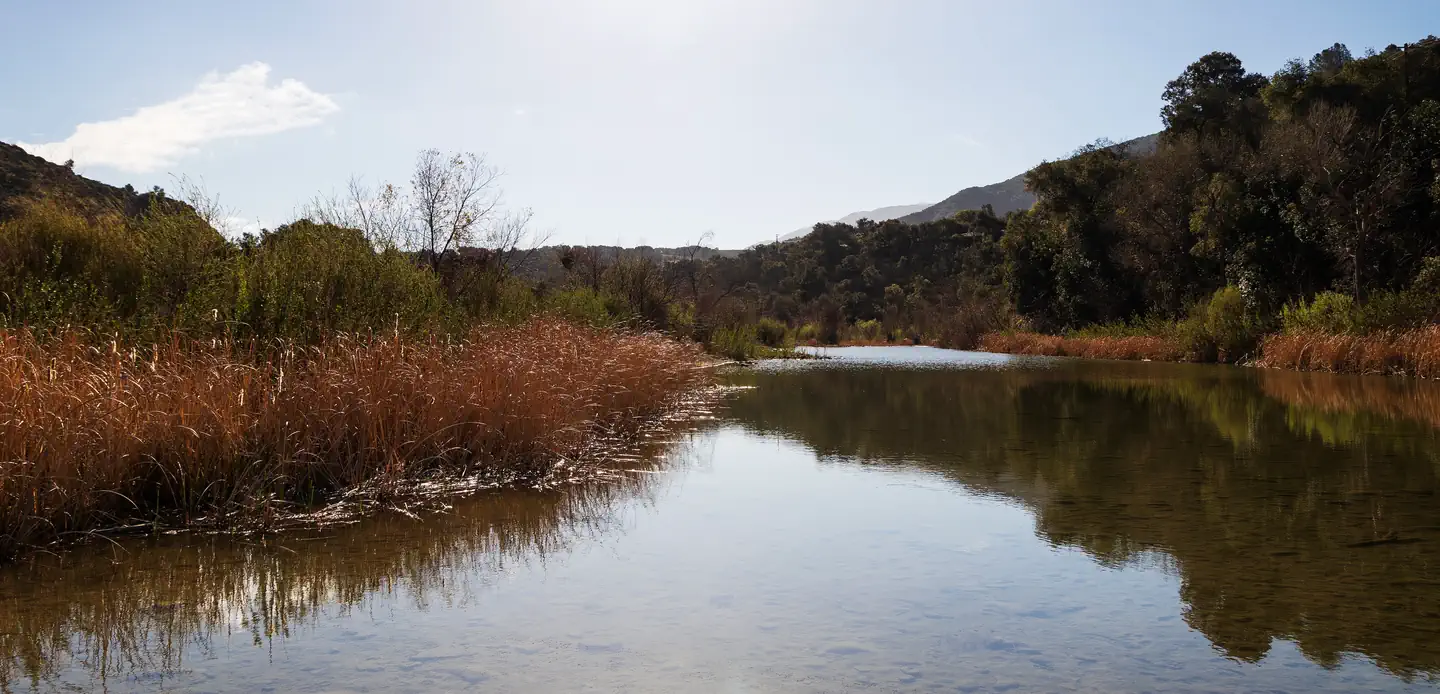
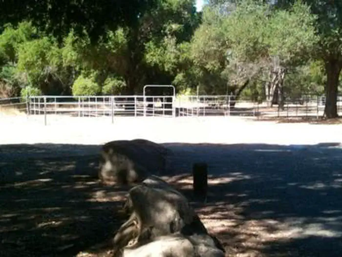
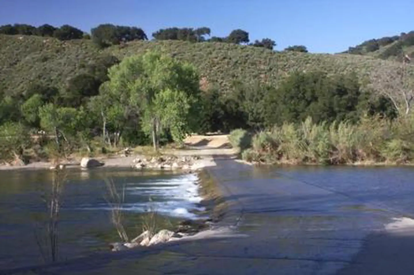
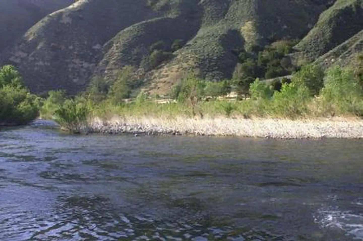
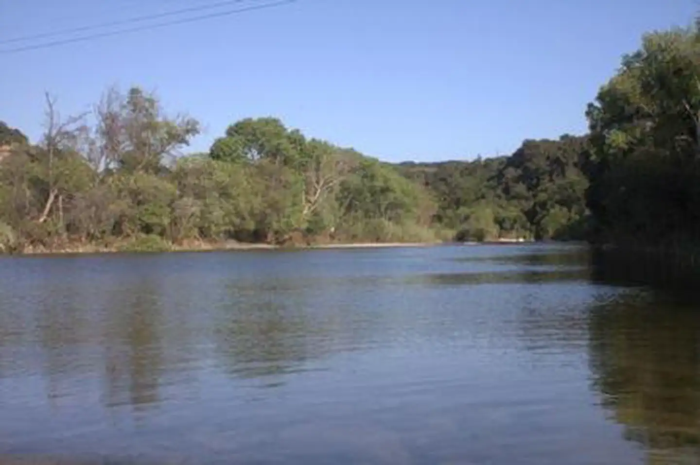
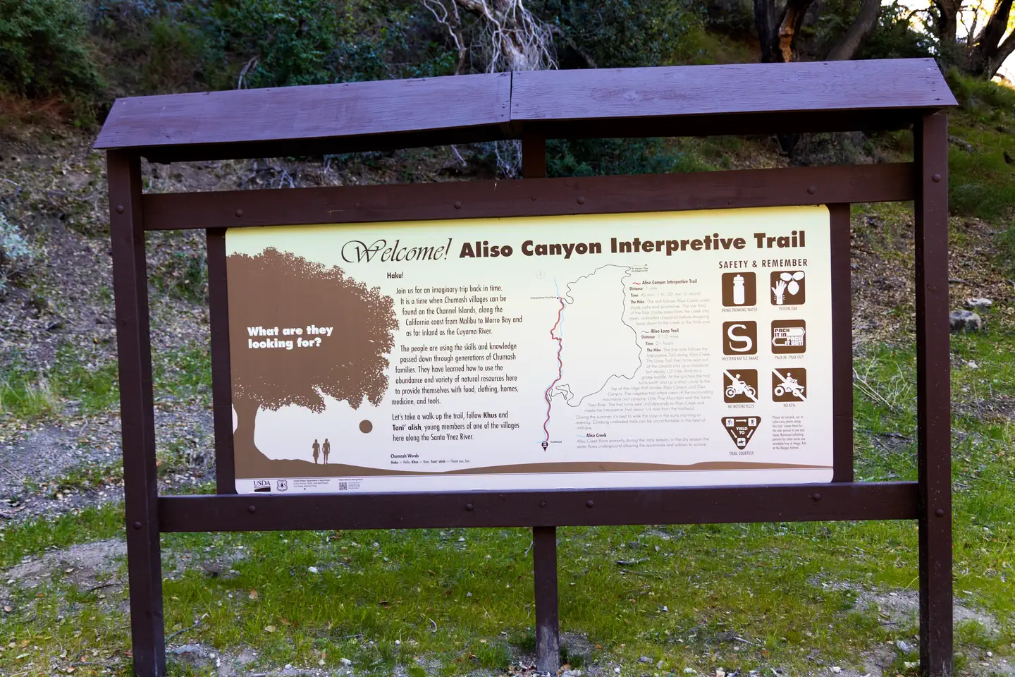
Overview Nestled in the Santa Ynez Mountain Range, Sage Hill Campground is a great group camping spot with easy access to the Santa Ynez River. Spend time fishing or take in the epic scenery on one of the trails designed for both hikers and horseback riders. One of the campsites is designed for group equestrian camping and includes 12 corrals and a hitching post. Recreation Fishermen are likely to find carp, catfish, bluegill and the occasional bass that swim up from Cachuma. The Aliso Canyon Trail begins at the rear of the facility and continues to Upper Oso Campground, which is where the Santa Cruz Trail begins. The nearby Cachuma Lake Recreation Area is perfect for boating, fishing and kayaking. Facilities Each campsite accommodates up to 50 people, and the group equestrian site accommodates up to 60. Flush toilets, drinking water and paved roads are included, in addition to an extra large parking area to accommodate horse trailers. The closest dump station is at Cachuma Lake. Natural Features The campground sits in a flat area with some sites shaded by oak trees. Sage Hill is near the river, which flows into Cachuma Lake about seven miles west. The Santa Ynez Mountains make up part of the Transverse Range along the Pacific Coast of California. The landscape may become very dry by mid-summer. Nearby Attractions The campground is half an hour from the thriving beach city of Santa Barbara.
From the managing agency.
Is SAGE HILL free?
We do not have a fee on record for SAGE HILL. Confirm the cost locally before you go.
How do I get to SAGE HILL?
SAGE HILL is at 34.5392, -119.7911. We do not hold written directions for this one, so navigate to the coordinates.
Nearby
- SAGE HILL0.5 mi
- LOS PRIETOS0.6 mi
- LOS PRIETOS1.0 mi
- Paradise1.2 mi
- PARADISE CAMPGROUND1.3 mi
- UPPER OSO CAMPGROUND1.6 mi
- FREMONT CAMPGROUND1.7 mi
- Fremont1.8 mi
No other services within 50 mi on the record.
SourceSource data is agency published. Last synced September 19, 2026. Community reports and photos are submitted by travelers and are not verified by the agency.
