
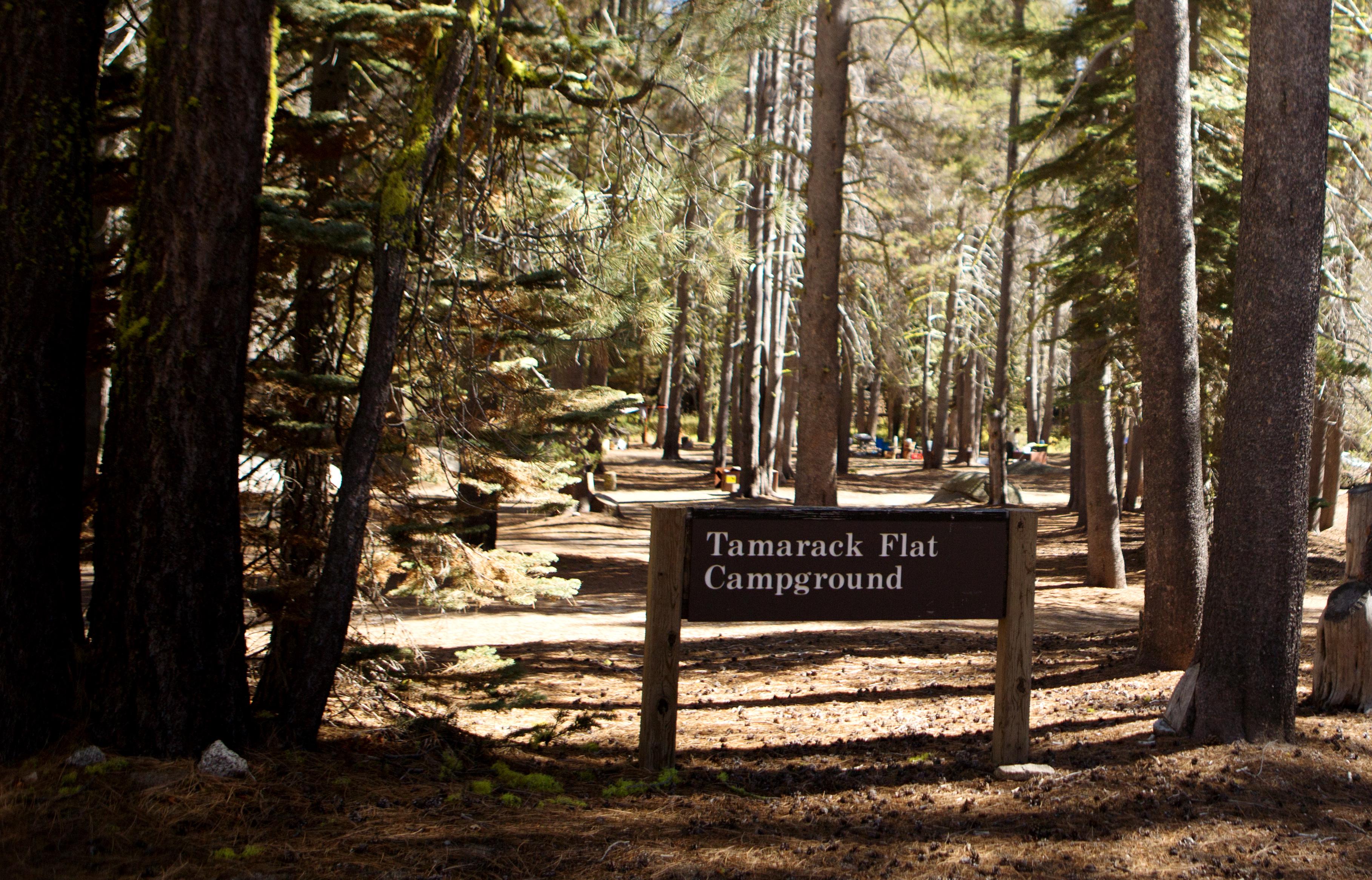
Tamarack Flat Campground
Campground · Fee
Fast facts
- Cost
- $24.00
- Type
- Campground
- Season
- October 13 to June 22
- Sites
- 52 total · 52 reservable · 0 first come
- Reservations
- recreation.gov
- Phone
- 209-379-2123
- Nearest dump station
- Indian Creek Camp Ground-Trailer Dump Site · 68.2 mi
- Nearest water fill
- Indian Creek Camp Ground-Potable Water · 68.7 mi
- Coordinates
- 37.7517, -119.7362
- Last verified
- September 19, 2026

About this place
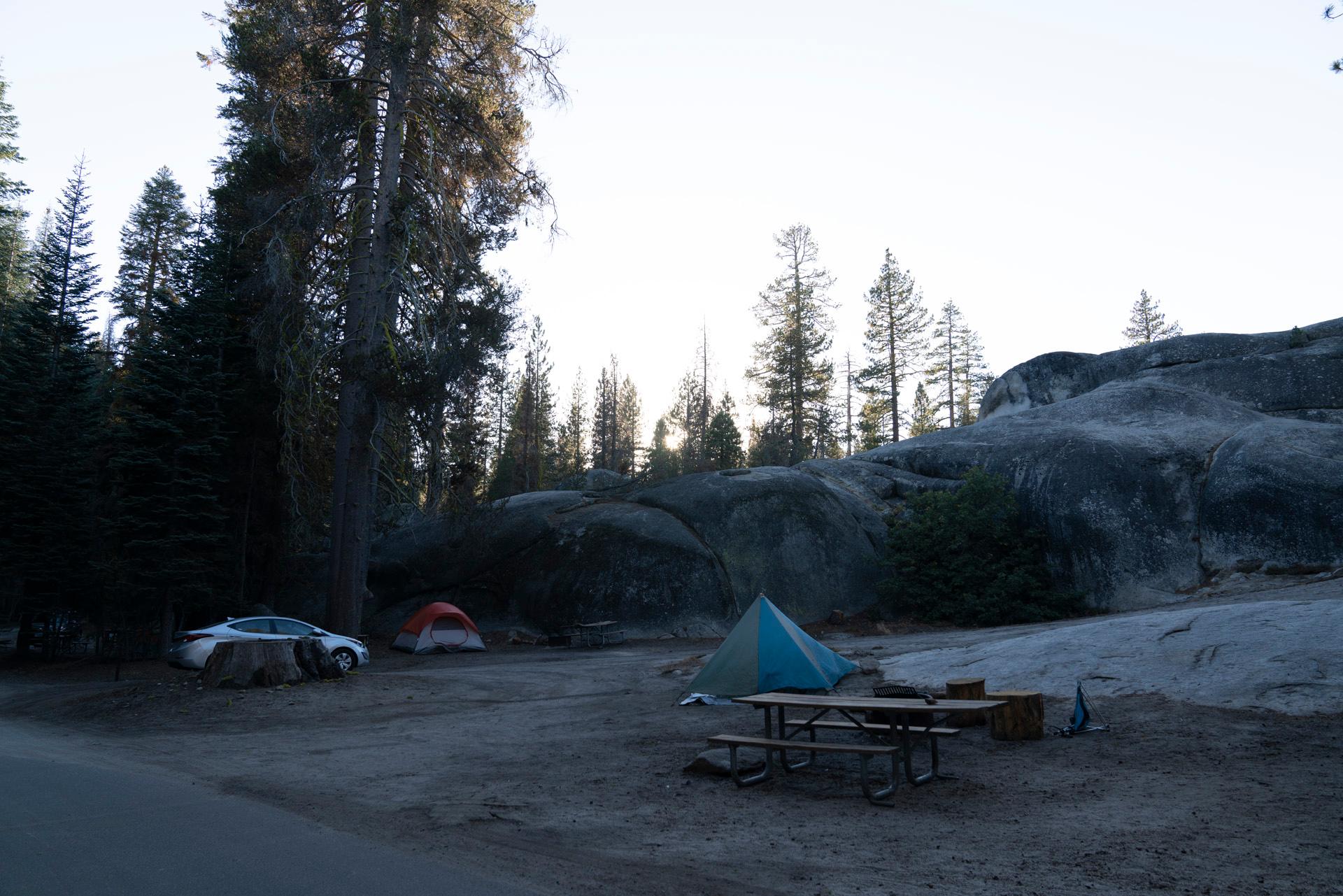
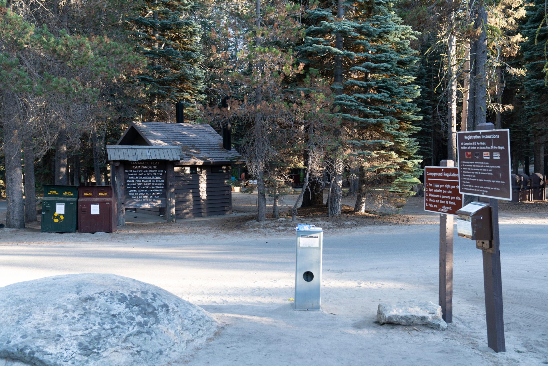
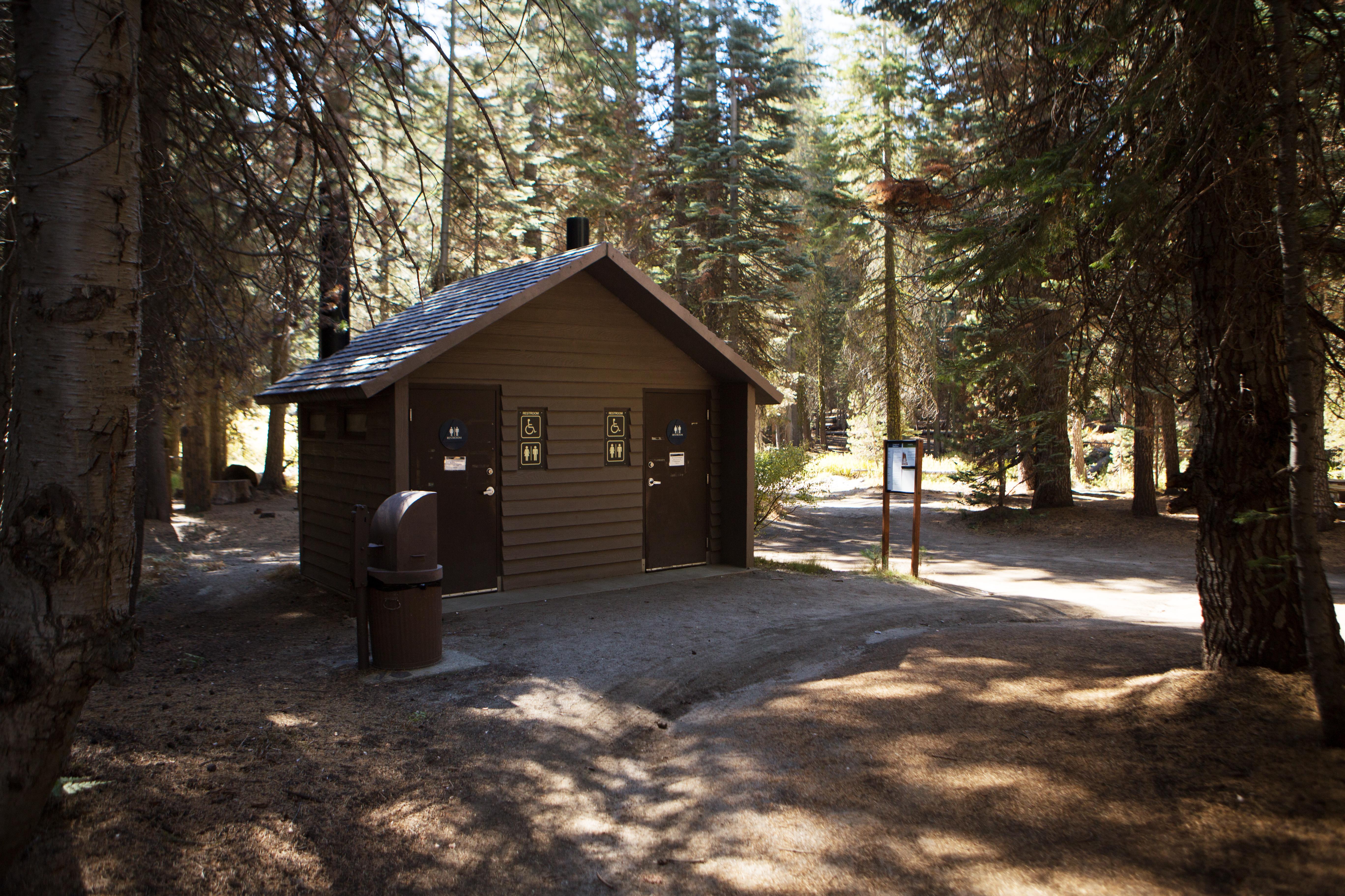
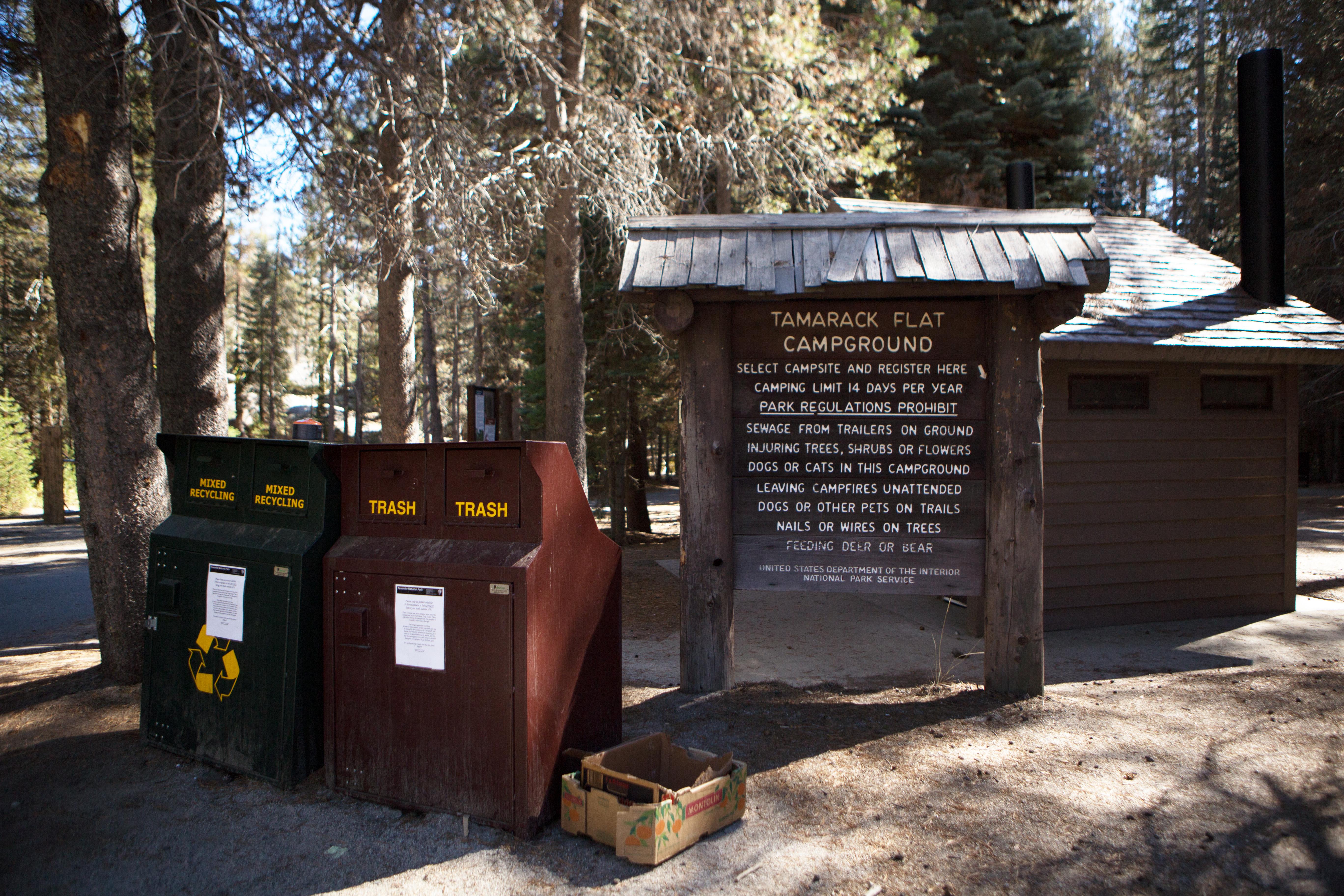
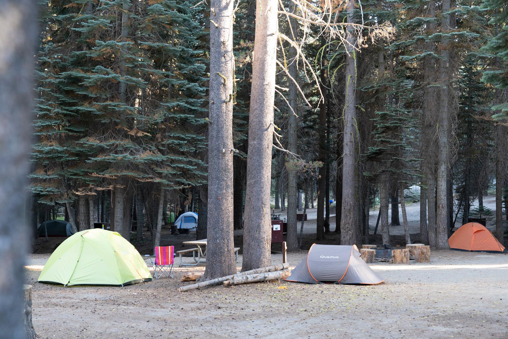
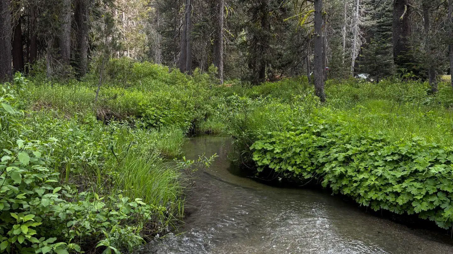
Overview Staying at Tamarack Flat Campground requires reservations. Opening date for the Tamarack Flat Campground varies depending on the opening of the Tioga Road and related seasonal facility and road work. Tamarack Flat Campground is located off the Tioga Road just east of Crane Flat. The campground is approximately 20 miles (45 minutes) from Yosemite Valley and is tucked away in the forest 3 miles off Tioga Road. RVs and Trailers are not recommended for this hard to access, primitive campground. At an elevation of 6,300 feet (1,900 m) elevation, the campground is near Tamarack Creek, which is a seasonal water source that must be filtered, treated, or boiled. You should bring water! For additional park information, call (209)372-0200 or visit www.nps.gov/yose Recreation Yosemite's trails, cliffs, roads and rivers provide endless recreational activities for any kind of visitor. Hiking, biking, rock climbing, fishing, horseback riding, rafting, auto touring, and photography are all very popular activities within the park. A hiking and backpacking trail leaves from the campground and can be used to hike to areas such as Cascade Creek, El Capitan and other points along the North Rim of Yosemite Valley. Yosemite Valley is a 25 mile drive from Tamarack Flat Campground. Many of Yosemite's most popular trails along with the Merced River, bike trails, beaches and picnic areas can be easily accessed in Yosemite Valley. Two of Yosemite's three groves of giant sequoias are located in the Crane Flat area (5-10 miles from Tamarack Flat). Tuolumne and Merced Groves of Giant Sequoias, both of which require a 2.5 to 3-mile roundtrip hike to view. The trailheads are accessible year-round, although trails may be snow-covered winter. Both short hikes lead downhill into sheltered areas with flowing water, dogwood, azaleas, and ancient sequoia trees. Many other hiking opportunities exist at trailheads along the Tioga Road and in Tuolumne Meadows. For additional park recreation information, visit www.nps.gov/yose/planyourvisit/ Facilities Tamarack Flat Campground can only by accessed by a 3 mile long, narrow, single-lane road with many hairpin turns. RVs and Trailers are NOT recommended. Seasonal facilities include tent/van sites, vault toilets, trash/recycling collection, food storage lockers, fire rings and picnic tables. There is no cell phone reception, no internet connectivity, no camp store, no ice or firewood for sale, no laundry facilities, no dump station and no showers. Natural Features Yosemite National Park covers nearly 1,200 square miles (3,100 square km) in the Sierra Nevada, with elevations ranging from about 2,000 feet (600 m) to 13,000 ft (4,000 m). Yosemite receives 95% of its precipitation between October and May, and over 75% between November and March. Most of Yosemite is blanketed in snow from about November through May. Tamarack Flat is situated along a seasonal creek which is it's only source of water. Creek water must be treated and/or boiled before consuming. You should bring water! Nearby Attractions Just 25 miles away is Yosemite Valley, an awe-inspiring landscape containing many of the famous features for which Yosemite National Park is known. Hiking trails and bike paths are abundant in the valley. Rafting the Merced River is a fun way to cool down on a summer day when water levels are sufficient. Yosemite Valley also offers numerous guided bus tours, educational programs, museums, ranger-led activities, and an art center with workshops. The Tioga Road offers a 39-mile scenic drive past forests, meadows, lakes and granite domes. Tuolumne Meadows embodies the high-country of the Sierra Nevada, with its broad sub-alpine meadows and granite peaks. Several trailheads line the road offering hikes to beautiful, secluded areas that can only be accessed and enjoyed by foot. Beautiful Hetch Hetchy Reservoir, just 23 miles from Crane Flat, is home to spectacular scenery and numerous wilderness trailheads. Contact Info For facility specific information, please call (209) 379-2123. Charges & Cancellations Cancellations more than 48 hours in advance of arrival date will generate a refund, less a $10 transaction fee. Within 48 hours, $10 and the first night's fee are charged. One night reservations do not incur an additional $10 fee, but do not receive a refund. No-shows will be assessed a $20 service fee along with the loss of the first night's fee.
From the managing agency.Official page
Is Tamarack Flat Campground free?
No. Tamarack Flat Campground charges $24.00. 52 of its sites are reservable through recreation.gov.
Can I bring an RV to Tamarack Flat Campground?
Tamarack Flat Campground has 52 sites on record. 52 sites are reservable and 0 are first come.
When is Tamarack Flat Campground open?
The season on record runs October 13 to June 22. Dates move with weather and with the managing office, so check before a shoulder-season trip.
How do I get to Tamarack Flat Campground?
The Tamarack Flat access road is located off the Tioga Road 4 miles east of Crane Flat. From Yosemite Valley take the Big Oak Flat Road and Tioga Road 20 miles (approximately 45 minutes). From Hwy. 120 west/Big Oak Flat Road, take the Big Oak Flat Road and Tioga Road 11.5 miles (25 minutes). From Hwy. 120 east/Tioga Pass, the Tamarack Campground turnoff road is located approximately 42 miles west (70 minutes). Once you turn off the Tioga Road, you’ll travel 3 narrow, windy miles to access the campground.
What is the weather like at Tamarack Flat Campground?
Yosemite National Park covers nearly 1,200 square miles (3,100 square km) in the Sierra Nevada, with elevations ranging from about 2,000 feet (600 m) to 13,000 ft (4,000 m). Yosemite receives 95% of its precipitation between October and May (and over 75% between November and March). Most of Yosemite is blanketed in snow from about November through May. (The Valley can be rainy or snowy in any given winter storm.) Check the <a href="https://www.nps.gov/yose/planyourvisit/weathermap.htm">weather forecast</a>.
What are the rules at Tamarack Flat Campground?
<b>Pets:</b> Permitted (must be on a leash at all times). <b>Fires:</b> Wood and charcoal fires are permitted when fire restrictions are not in effect. <b>People per site:</b> A maximum of six people (including children) are allowed per campsite. <b>Vehicles per site:</b> A maximum of two motor vehicles are allowed per campsite. All vehicles must be parked on a parking pad. Trailers don't count against the vehicle limit as long as they fit on the parking pad. <b>You are required to store food properly in order to protect Yosemite's bears.</b> Learn more about <a href="https://www.nps.gov/yose/learn/nature/bears.htm">bears</a>, <a href="https://www.nps.gov/yose/planyourvisit/bears.htm">proper food storage</a>, and <a href="https://www.nps.gov/yose/planyourvisit/lockers.htm">food lockers</a>.
Nearby
SourceSource data is agency published. Last synced September 19, 2026. Community reports and photos are submitted by travelers and are not verified by the agency.
