
Camp 4 Campground
Campground · Fee
Fast facts
- Cost
- $10.00
- Type
- Campground
- Sites
- 61 total · 61 reservable · 0 first come
- Reservations
- recreation.gov
- Nearest dump station
- Indian Creek Camp Ground-Trailer Dump Site · 69.5 mi
- Nearest water fill
- Indian Creek Camp Ground-Potable Water · 70.0 mi
- Coordinates
- 37.7421, -119.6023
- Last verified
- September 18, 2026
About this place
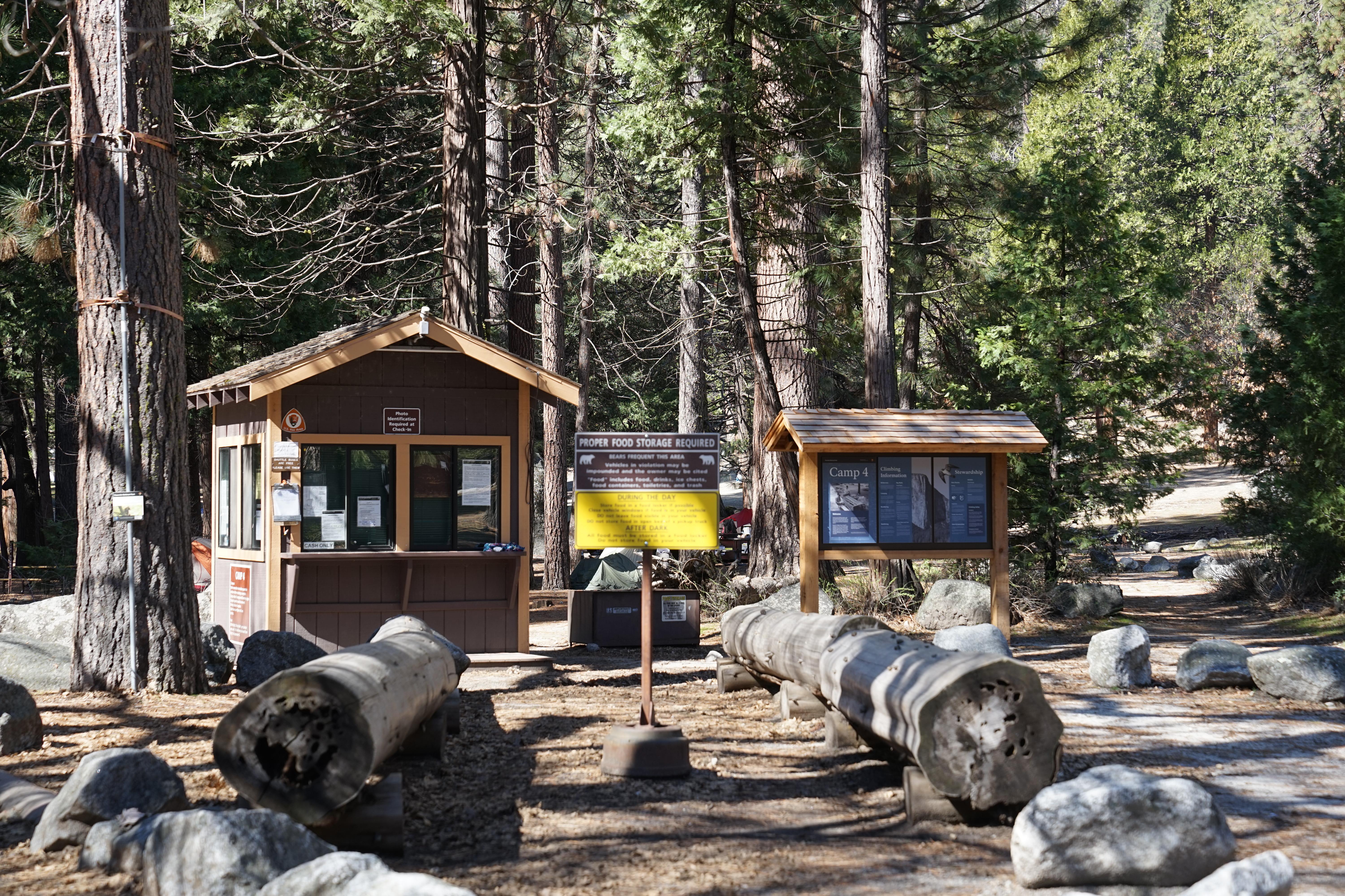
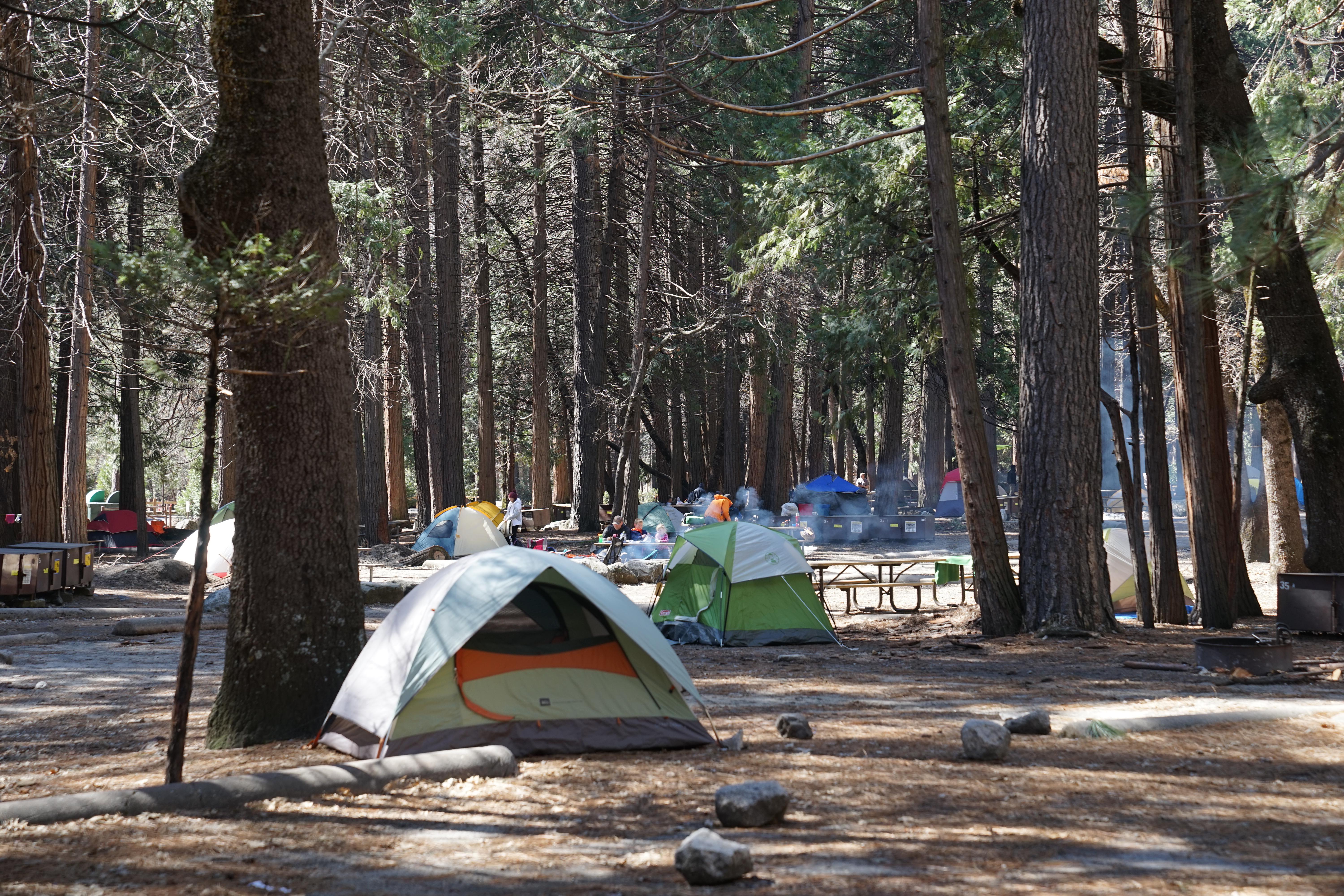
Camp 4 is located in Yosemite Valley near the base of granite cliffs close to Yosemite Falls. Yosemite Valley is centrally located in the park and boasts some of Yosemite’s most iconic features. This campground is located at 4,000 feet (1,200 m) elevation and can be accessed from all park roads. Camp 4 is within biking and walking distance of many services in Yosemite Valley and is located near the free shuttle route. There are food and grocery services nearby at Yosemite Valley Lodge and Yosemite Village.
From the managing agency.Official page
Is Camp 4 Campground free?
No. Camp 4 Campground charges $10.00. 61 of its sites are reservable through recreation.gov.
Can I bring an RV to Camp 4 Campground?
Camp 4 Campground has 61 sites on record. 61 sites are reservable and 0 are first come.
How do I get to Camp 4 Campground?
From Hwy. 140/Arch Rock Entrance, continue driving west on the El Portal Road 8 miles to Yosemite Valley. From Hwy. 41/South Entrance drive 33 miles north (approximately 1 hour) on the Wawona Road to Yosemite Valley. From Hwy. 120 west/Big Oak Flat Entrance, drive 23 miles (approximately 45 minutes) on the Big Oak Flat Road to Yosemite Valley. From Hwy. 120 east/Tioga Pass, the Valley is approximately a two-hour drive. In the Valley follow Southside Drive and signs for Yosemite Valley Lodge and Camp 4.
What is the weather like at Camp 4 Campground?
Yosemite National Park covers nearly 1,200 square miles (3,100 square km) in the Sierra Nevada, with elevations ranging from about 2,000 feet (600 m) to 13,000 ft (4,000 m). Yosemite receives 95% of its precipitation between October and May (and over 75% between November and March). Most of Yosemite is blanketed in snow from about November through May. (The Valley can be rainy or snowy in any given winter storm.)
What are the rules at Camp 4 Campground?
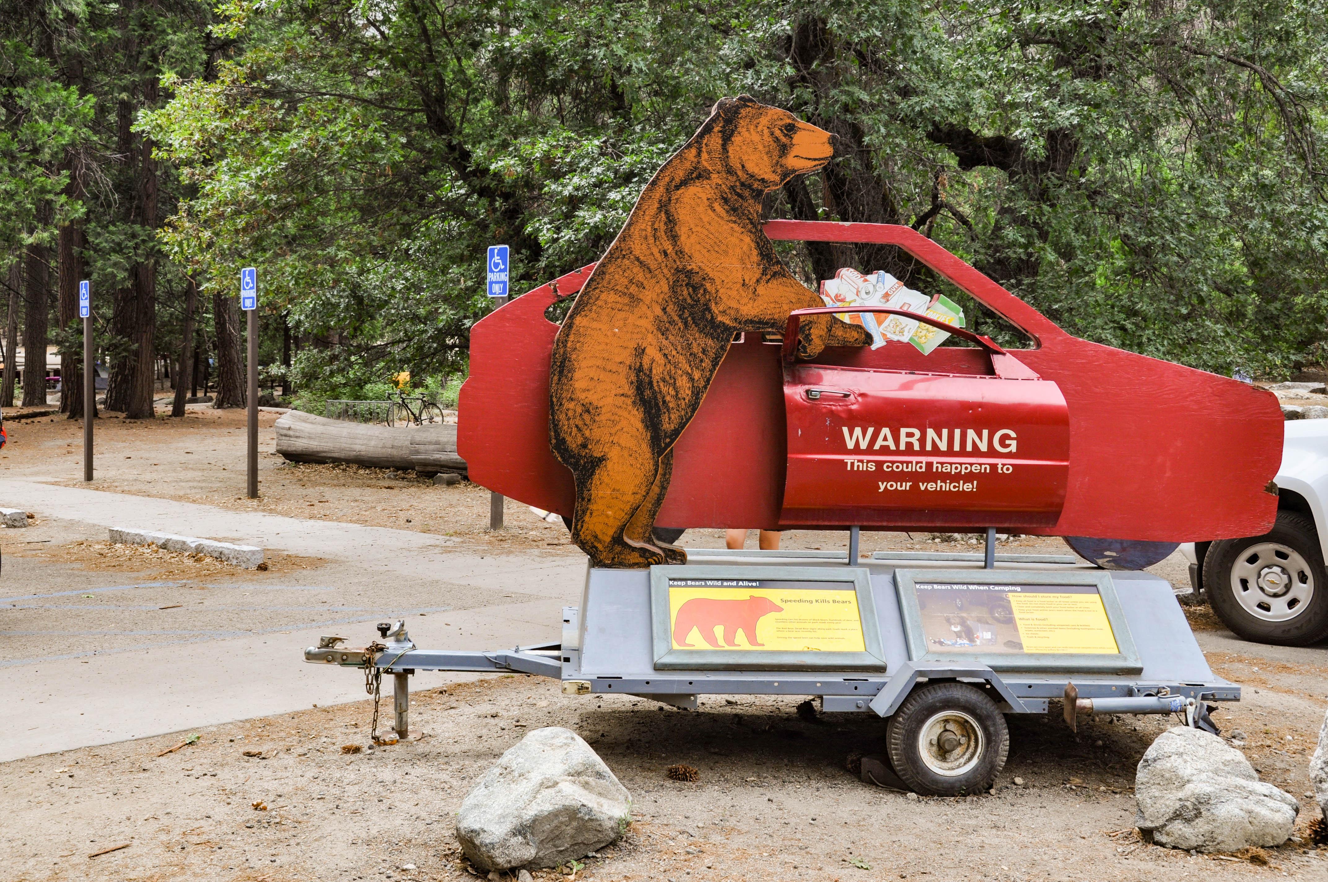
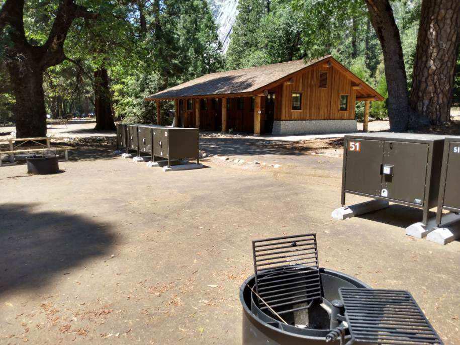
<b>Pets:</b> Not permitted <b>Fires:</b> Wood fires are permitted all year, however, from May through September, campfires in Yosemite Valley are only allowed between 5 pm and 10 pm (campfires are allowed at any time from October through April). Charcoal fires are allowed at any time. Air quality may be unhealthy for sensitive individuals at night. <b>People per site:</b> A maximum of six people (including children) are allowed per campsite. <b>You are required to store food properly in order to protect Yosemite's bears.</b> Learn more about <a href="https://www.nps.gov/yose/learn/nature/bears.htm">bears</a>, <a href="https://www.nps.gov/yose/planyourvisit/bears.htm">proper food storage</a>, and <a href="https://www.nps.gov/yose/planyourvisit/lockers.htm">food lockers</a>.
Nearby
- Camp 40.1 mi
- Lower Pines Campground2.0 mi
- North Pines Campground2.0 mi
- Upper Pines Campground2.2 mi
- Porcupine Flat Campground5.0 mi
- Bridalveil Creek Campground5.6 mi
- Bridalveil Creek Horse Camp5.6 mi
- Yosemite Creek Campground5.8 mi
- Indian Creek Camp Ground-Trailer Dump Site69.5 mi
- Indian Creek Camp Ground-Potable Water70.0 mi
SourceSource data is agency published. Last synced September 18, 2026. Community reports and photos are submitted by travelers and are not verified by the agency.
