
TABLE MOUNTAIN (ANGELES)
Campground · Fee not listed
Fast facts
- Cost
- Not listed. Check locally.
- Type
- Campground
- Phone
- 760-249-3526
- Coordinates
- 34.3864, -117.6894
- Last verified
- September 19, 2026
About this place
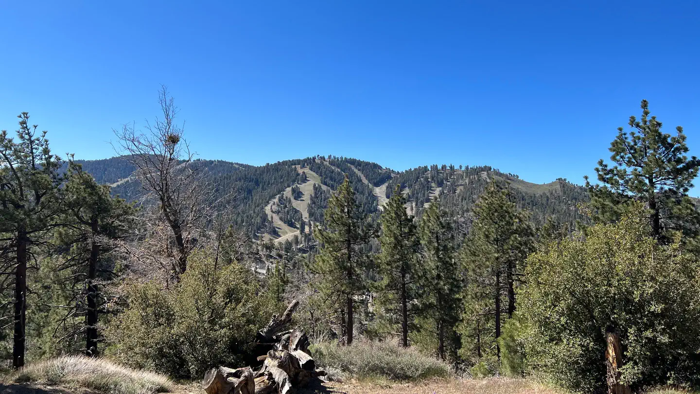
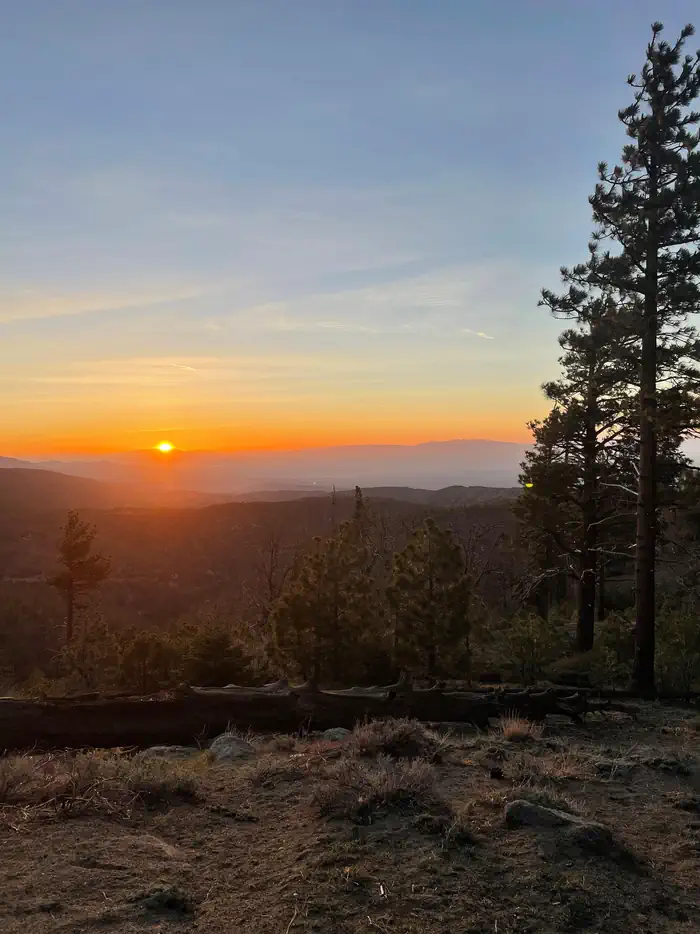
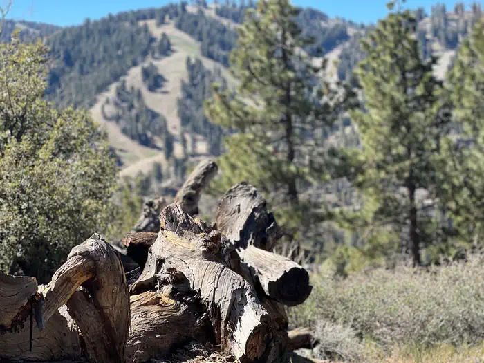
Overview Table Mountain, just a short journey northwest of the Los Angeles metro area, provides a beautiful escape from urban life. Campers will find hiking, mountain biking, birding and countless other recreation opportunities. The surrounding landscape is also ideal for scenic drives. The campground sits in the Angeles National Forest, spanning 694,187 acres over most of the San Gabriel Mountain range. The forest boasts spectacular scenery and 557 miles of hiking and equestrian trails. Recreation The Table Mountain Nature Trail runs through the campground, and visitors can spot birds, squirrel, deer and the California condor. The Angeles Crest Scenic Byway is a highly recommended drive that extends through oak thickets, chaparral, high desert landscapes and pine tree forests along the highest and most scenic ridges of the San Gabriel mountain range. Facilities Campsites range from level meadow locations to shaded, hilly sites. All sites are reasonably close to vault toilets and have paved spurs and fire pits. Water spigots are spaced about every six sites. The amphitheater site is available for day-use only and accommodates up to 150 guests and 30 vehicles. Prices vary based on time of year. To RESERVE THE AMPHITHEATER contact Tyler Shippy at [email protected] or call (888) 754-7878 ext 7834. Natural Features Table Mountain is set in a hilly, oak and pine forest with two large meadows and beautiful views. At an elevation of 7,000 feet, summer temperatures average in the low 80s with cool nights. Contact Info For facility specific information, please call (760) 316-7828. Nearby Attractions The Angeles Crest Highway, part of California State Route 2, is a scenic byway that meanders through oak thickets, chaparral, high desert landscapes and pine tree forests. The ski resort town of Wrightwood is very close by. Restaurants and a disc golf course can be found at the North Resort. Take a hike on the Blue Ridge Trail or the Pacific Crest Trail. The Pacific Crest Trail is an impressive path that starts in Mexico and zigzags its way through Angeles and continues north across California, Oregon and Washington. Visit the Mountain High Downhill Bike Park.
From the managing agency.
Is TABLE MOUNTAIN (ANGELES) free?
We do not have a fee on record for TABLE MOUNTAIN (ANGELES). Confirm the cost locally before you go.
How do I get to TABLE MOUNTAIN (ANGELES)?
TABLE MOUNTAIN (ANGELES) is at 34.3864, -117.6894. We do not hold written directions for this one, so navigate to the coordinates.
Nearby
- Table Mountain Campground0.2 mi
- Appletree Campground1.4 mi
- Peavine Campground1.7 mi
- Peavine Campground1.7 mi
- Blue Ridge Campground1.8 mi
- LAKE CAMPGROUND2.0 mi
- Mountain Oak Campground2.3 mi
- MOUNTAIN OAK2.4 mi
No other services within 50 mi on the record.
SourceSource data is agency published. Last synced September 19, 2026. Community reports and photos are submitted by travelers and are not verified by the agency.
