
Peavine Campground
USFS · Campground · Fee
Fast facts
- Cost
- Fee charged
- Managed by
- USFS
- Type
- Campground
- Hours
- Open 24 hours/day
- Reservations
- fs.usda.gov
- Phone
- 760.316.7828
- Coordinates
- 34.3896, -117.7187
- Last verified
- September 19, 2026
About this place
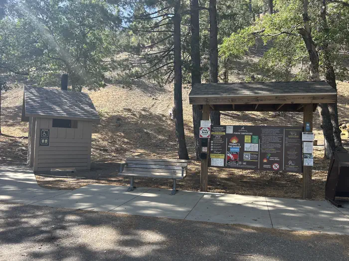
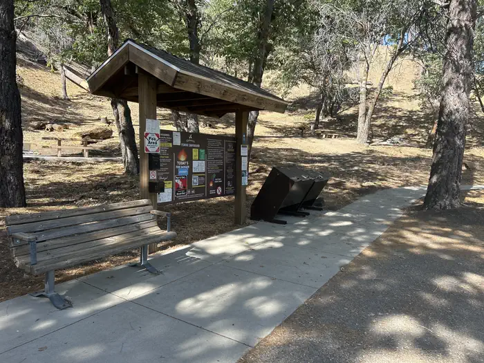
Overview Just northwest of the Los Angeles metro area, Peavine provides a scenic and relaxing destination for camping, hiking, picnicking and wildlife viewing. Within walking distance of Jackson Lake for easy access to fishing, canoeing, and swimming. Visitors enjoy exploring the Angeles Crest Scenic Byway, which offers incredible views of oak thickets, high desert landscapes, chaparral and pine forests. Recreation Wildlife viewing is a popular activity, as visitors may see bobcats, mountain lions, bears and Nelson bighorn sheep. Powerboating is not permitted on Jackson Lake, so the setting is peaceful and quiet for swimming, canoeing and fishing. The lake is stocked with trout and bluegill. Facilities Tent campsites can accommodate eight campers. Remote parking for one vehicle is provided in a shared parking lot right next to the sites. Grills, picnic tables, pit toilets, and drinking water are provided. Firewood can be purchased from the host at nearby Mountain Oak Campground. Natural Features Peavine Campground sits at an elevation of 6,100 feet in Angeles National Forest. Campsites are shaded with scattered oak trees and Jeffrey pines. Daytime temperatures in the summer are usually in the low 80s and evenings are cool. The Angeles National Forest spans nearly 695,000 acres over most of the San Gabriel Mountain Range in southern California. Vegetation ranges from chaparral and oak at lower elevations to pine forests at higher altitudes. Elevations range from 1,200 to 10,000 feet. The endangered California condor inhabits the forest. The Least Bells vireo and the Southwestern Willow flycatcher are two migratory birds that visitors enjoy spotting in the area. Other local inhabitants include the Arroyo toad, mountain yellow-legged frog, the mountain lion and the two-striped garter snake. Nearby Attractions The Angeles Crest Highway, part of California State Route 2, is a scenic byway that meanders through oak thickets, chaparral, high desert landscapes and pine tree forests. The ski resort town of Wrightwood is very close by. Restaurants and a disc golf course can be found at the North Resort. Take a hike on the Blue Ridge Trail or the Pacific Crest Trail. The Pacific Crest Trail is an impressive path that starts in Mexico and zigzags its way through Angeles and continues north across California, Oregon and Washington. Visit the Mountain High Downhill Bike Park.
From the USFS.
Is Peavine Campground free?
No. Peavine Campground charges a fee. It is managed by the USFS. Sites are reservable through fs.usda.gov.
How do I get to Peavine Campground?
From Wrightwood proceed on CA-2 for 3.6 miles to Big Pines Highway (N-4) turn slightly right onto Big Pines Highway, and proceed 2.4 miles to Peavine Campground on the left.
Nearby
- Peavine Campground0.0 mi
- LAKE CAMPGROUND0.3 mi
- Appletree Campground0.4 mi
- Mountain Oak Campground0.7 mi
- MOUNTAIN OAK0.7 mi
- Table Mountain Campground1.5 mi
- TABLE MOUNTAIN (ANGELES)1.7 mi
- Jackson Flat Group Campground1.8 mi
No other services within 50 mi on the record.
SourceData from the USFS. Last synced September 19, 2026. Community reports and photos are submitted by travelers and are not verified by the agency.
