
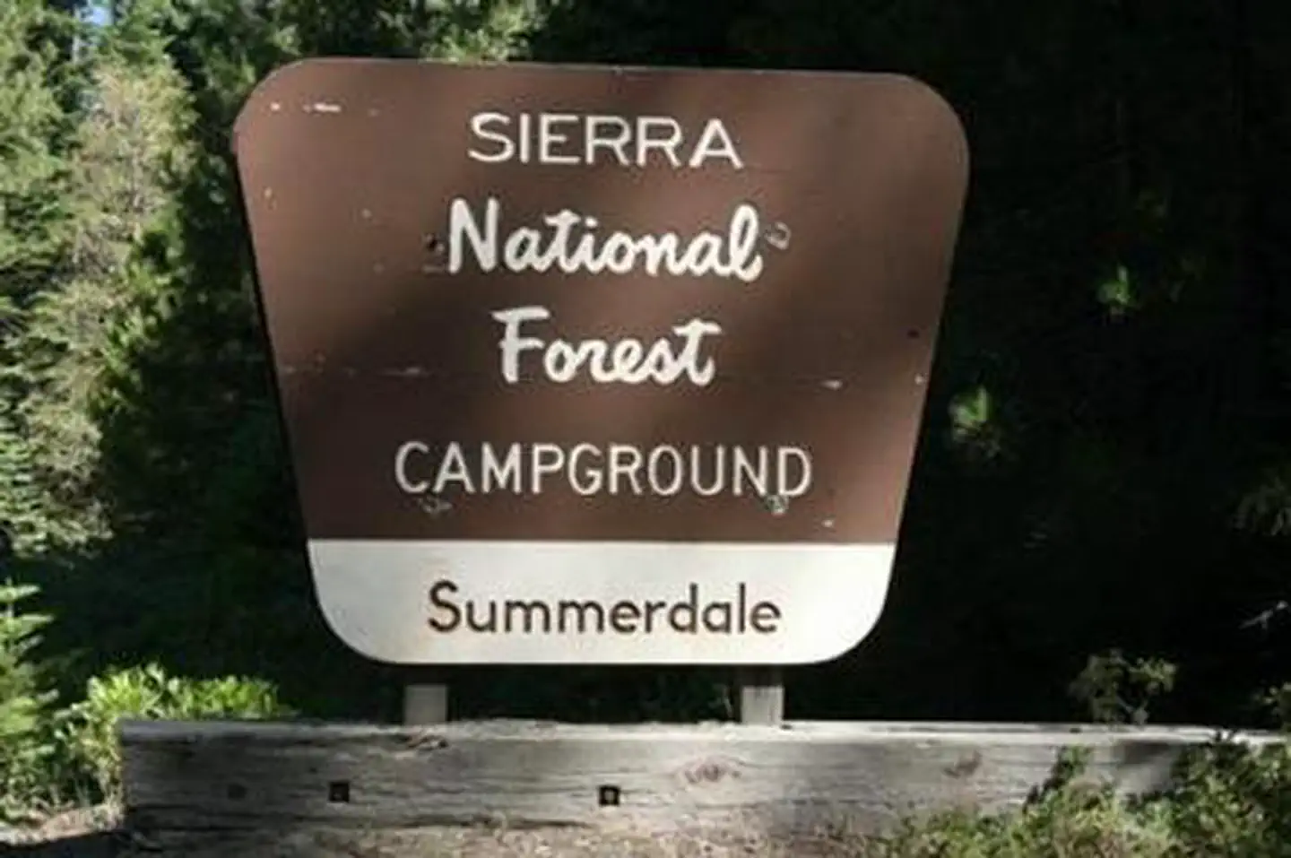
SUMMERDALE CAMPGROUND
USFS · Campground · Fee
Fast facts
- Cost
- Fee charged
- Managed by
- USFS
- Type
- Campground
- Hours
- June - November
- Reservations
- recreation.gov
- Phone
- 559-642-3212
- Nearest dump station
- Indian Creek Camp Ground-Trailer Dump Site · 86.6 mi
- Nearest water fill
- Indian Creek Camp Ground-Potable Water · 87.1 mi
- Coordinates
- 37.4897, -119.6323
- Last verified
- September 19, 2026
About this place
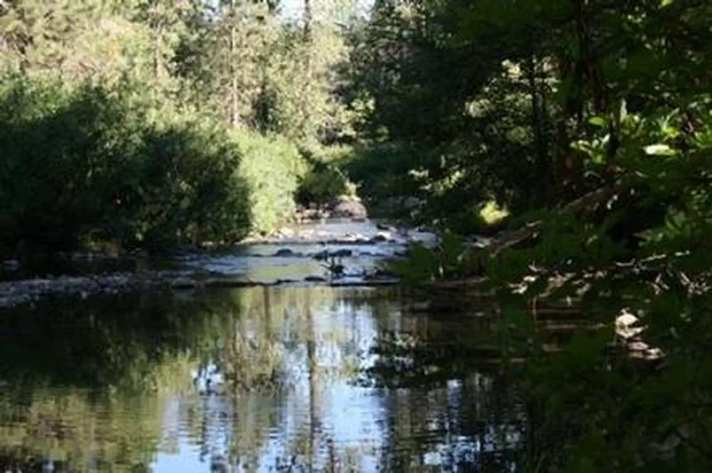
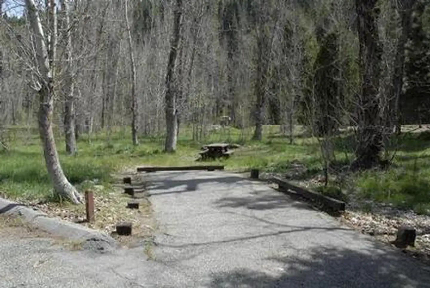
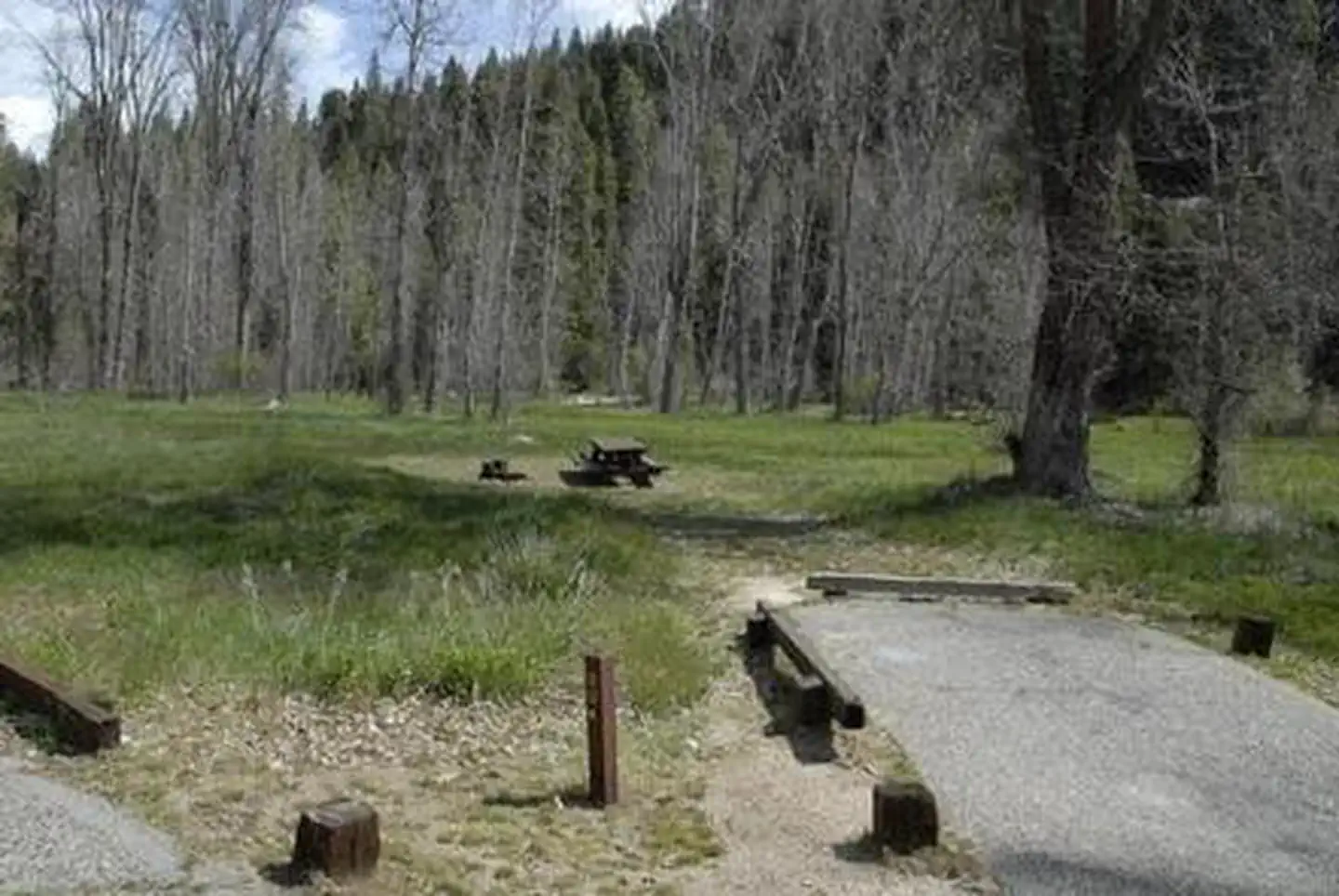
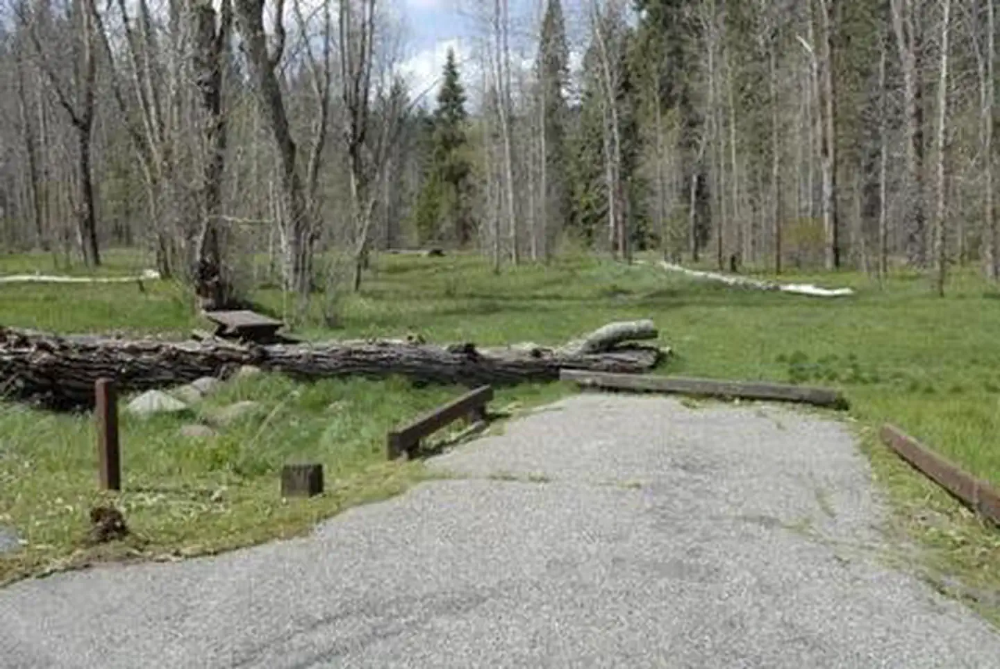
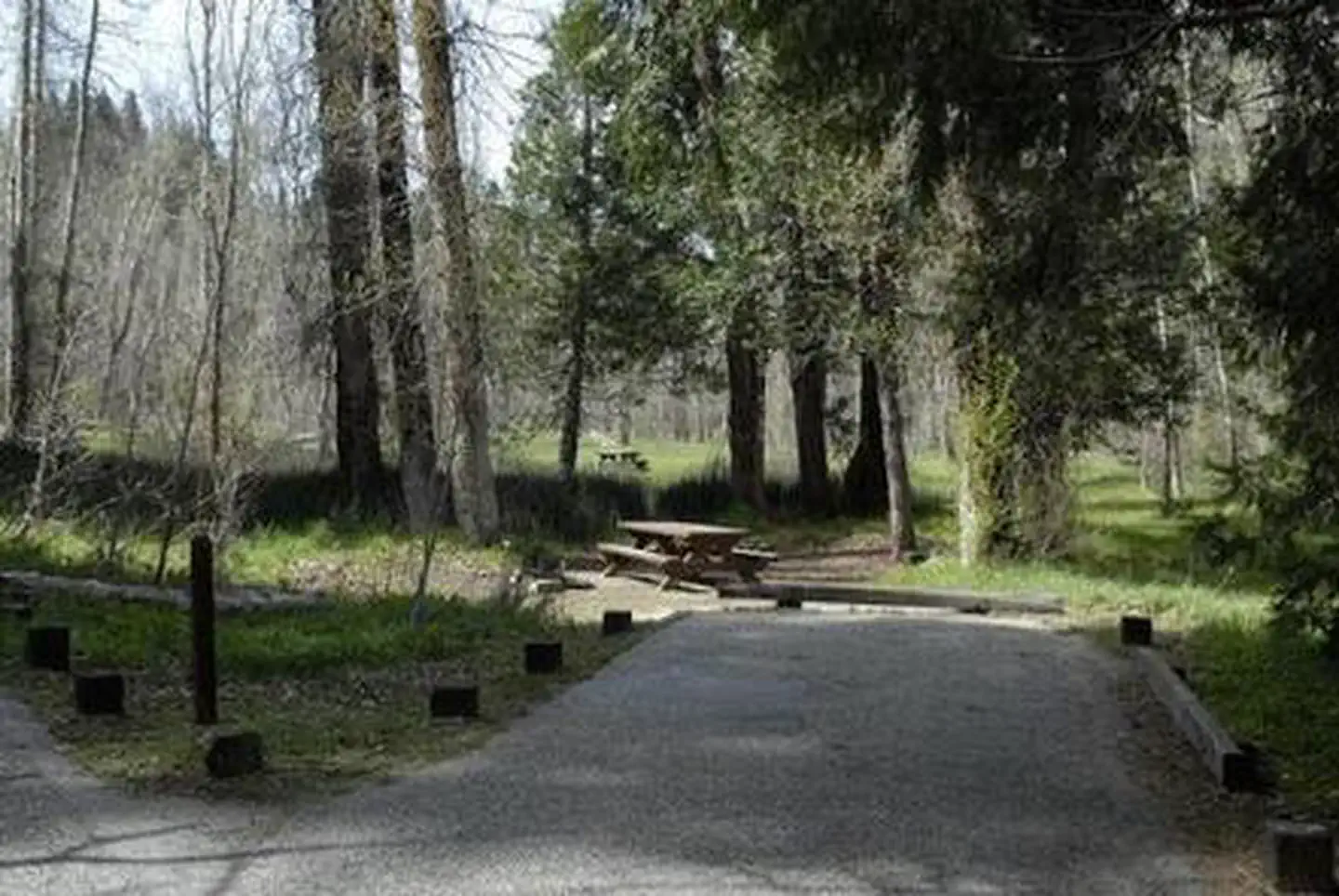
Overview Summerdale Campground is located just 1.5 miles from Yosemite National Park, and sits in a scenic wildflower-filled meadow, surrounded by fir, cottonwood and cedar trees. The campground's proximity to Yosemite, the excellent fishing at Big Creek and the cooler summer temperatures make it a very popular destination. Recreation Anglers can fish for rainbow trout in Big Creek. A few miles from the campground are opportunities to ride off-road vehicles in the Miami Motorcycle Trails Area or hike the 3.7-mile Lewis Creek National Recreation Trail. Facilities Each campsite has a paved parking spur, picnic table, grill and campfire ring. Vault toilets are available, and water is provided. Camping supplies are available in the nearby community of Fish Camp. Natural Features The Sierra National Forest, located on the western slope of the central Sierra Nevada, is known for its spectacular mountain scenery and abundant natural resources. The terrain includes rolling, oak-covered foothills, heavily forested middle elevation slopes and the starkly beautiful alpine landscape of the High Sierra. Summerdale is located in the Highway 41 Corridor of the Bass Lake Ranger District, an area known for its giant sequoias. Big Creek, which runs by the campground, is active with the local beaver population. Nearby Attractions Visitors enjoy making day trips into Yosemite National Park, or taking a ride on the logging train at Yosemite Mountain Sugar Pine Railroad. Nelder Grove is also in the vicinity, offering the opportunity to walk among giant sequoias. Charges & Cancellations Once your reservation start date has begun, neither the Recreation.gov Contact Center nor the campground manager will be able to modify your reservation.
From the USFS.Official page
Is SUMMERDALE CAMPGROUND free?
No. SUMMERDALE CAMPGROUND charges a fee. It is managed by the USFS. Sites are reservable through recreation.gov.
How do I get to SUMMERDALE CAMPGROUND?
From Fresno, take Highway 41 to Oakhurst; continue north 12 miles to campground entrance.
What are the rules at SUMMERDALE CAMPGROUND?
Reservations must be made at least three days in advance of arrival. There is a two night minimum stay on weekends and a three night minimum on holidays. Maximum stay = 14 daysMaximum vehicle length = 24 footMaximum group size = 6 per site
Nearby
SourceData from the USFS. Last synced September 19, 2026. Community reports and photos are submitted by travelers and are not verified by the agency.
