
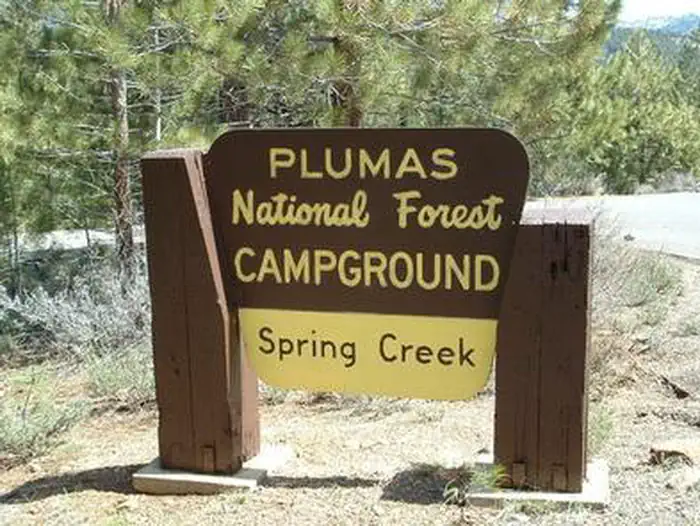
SPRING CREEK
Campground · Fee not listed
Fast facts
- Cost
- Not listed. Check locally.
- Type
- Campground
- Phone
- 530-836-2575
- Nearest dump station
- Logger Dump Station · 30.0 mi
- Nearest water fill
- Indian Creek Camp Ground-Potable Water · 81.8 mi
- Coordinates
- 39.8958, -120.1764
- Last verified
- September 19, 2026
About this place
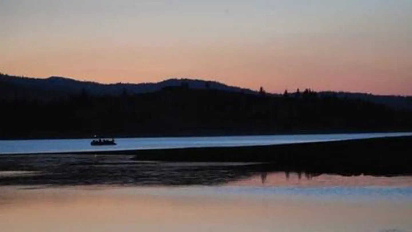
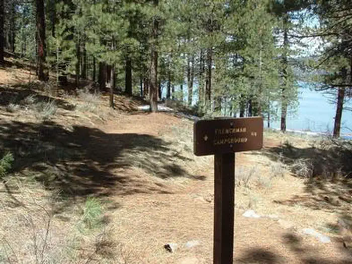
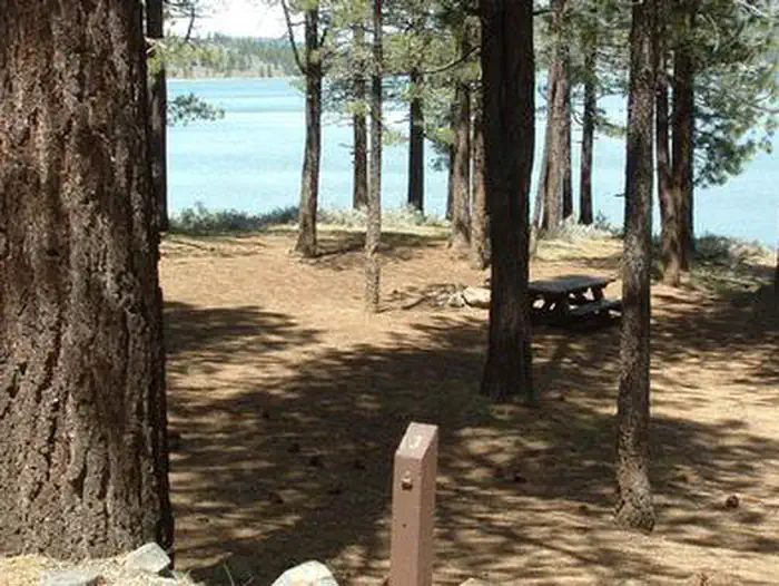
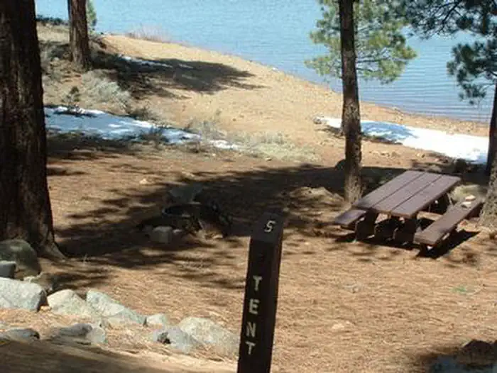
Overview Spring Creek Campground (5,800 feet) is just minutes away from the clear waters of the Frenchman Lake. The landscape provides a magnificent backdrop for a variety of recreational activities. The campground offers 35 camp sites with 12 sites available for reservation. Recreation During summer, the campground offers a variety of outdoor experiences including hiking, biking, picnicking and hunting. The nearby lake provides ample opportunities for swimming, boating, water skiing and jet skiing. The expansive road system in Plumas National Forest is a great location for exploration and sightseeing. Facilities The campground offers single-family campsites for tent and RV camping, including one accessible site (#23). The campground has paved roads and paved parking pads. Host, water and garbage service are provided during peak camping season. Two group campsites are available. All campsites are equipped with tables and campfire rings with grills. Bear resistant lockers are not provided. Campground host, paved roads Vault toilets and drinking water are provided. Natural Features This campground is at the interface between mountains and high desert and between the Sierra Nevada and Cascade mountain ranges. Ancient lava that flowed across the land has been eroded by creeks forming interesting landscapes. Contact Info For facility specific information, please call (530) 836-2575. Nearby Attractions Little Last Chance Canyon Scenic Area Sierra Valley - Largest valley in the Sierra Nevada Stores and services in the towns of Chilcoot and Loyalton
From the managing agency.
Is SPRING CREEK free?
We do not have a fee on record for SPRING CREEK. Confirm the cost locally before you go.
How do I get to SPRING CREEK?
SPRING CREEK is at 39.8958, -120.1764. We do not hold written directions for this one, so navigate to the coordinates.
Nearby
- Spring Creek Campground0.2 mi
- Big Cove (Plumas National Forest, CA)0.5 mi
- Frenchman Campground0.6 mi
- FRENCHMAN0.6 mi
- Coot Bay (fishing & Picnic Site)0.6 mi
- Big Cove Campground0.6 mi
- Conklin Campground1.6 mi
- Cottonwood Springs Campground2.0 mi
- Logger Dump Station30.0 mi
- Indian Creek Camp Ground-Potable Water81.8 mi
SourceSource data is agency published. Last synced September 19, 2026. Community reports and photos are submitted by travelers and are not verified by the agency.
