
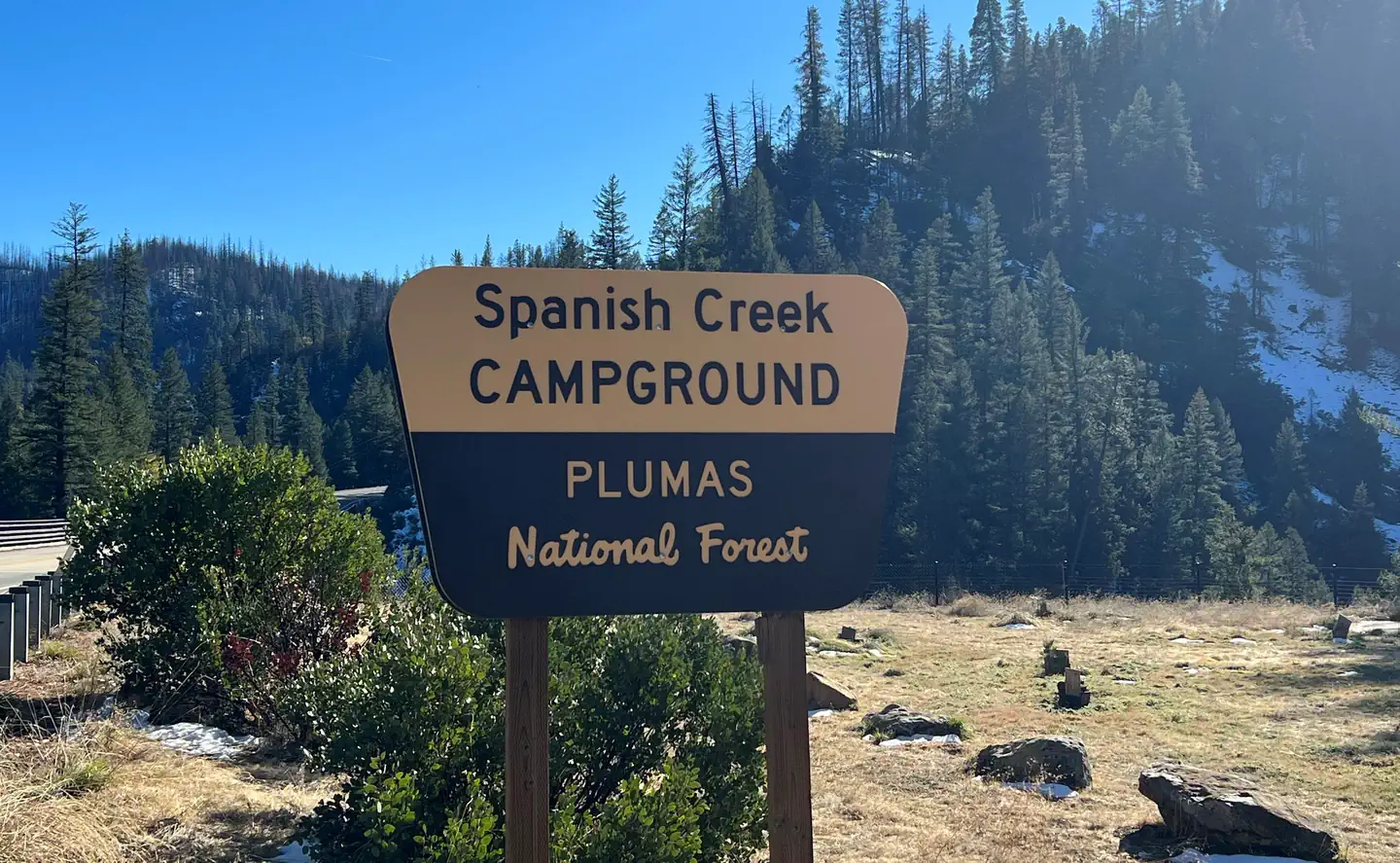
SPANISH CREEK CAMPGROUND
Campground · Fee not listed
Fast facts
- Cost
- Not listed. Check locally.
- Type
- Campground
- Phone
- 530-283-0555
- Nearest dump station
- Almanor RV Dump Station · 17.8 mi
- Coordinates
- 40.0269, -120.9644
- Last verified
- September 19, 2026

About this place
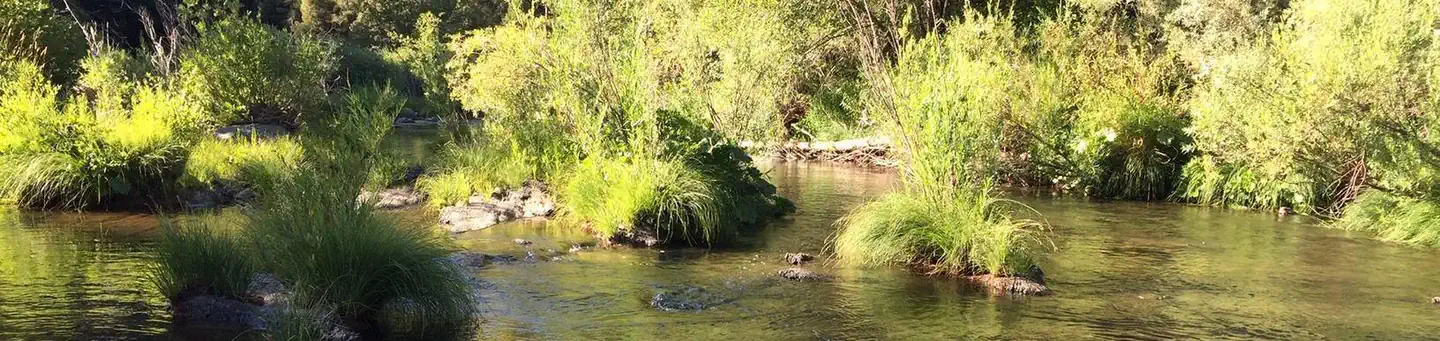
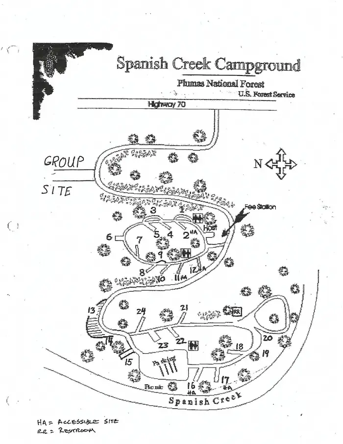
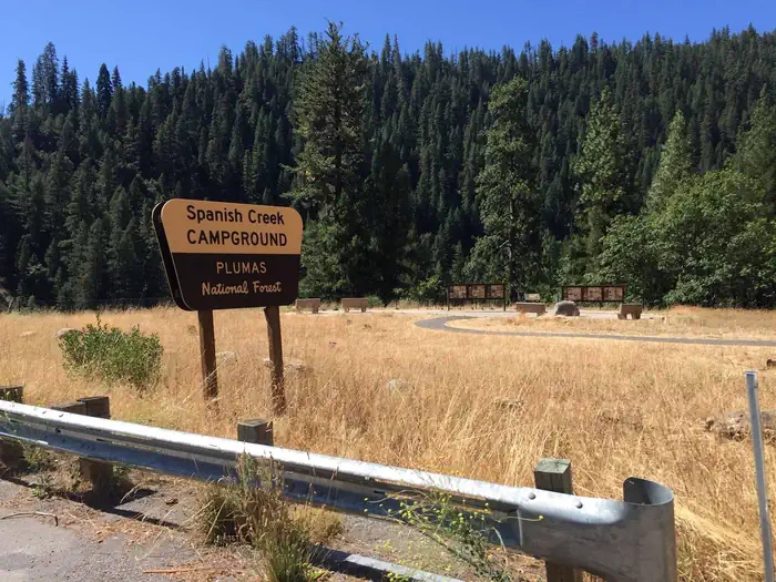
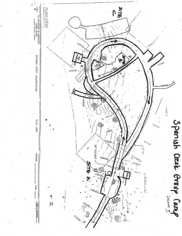
Overview Spanish Creek Campground is located on Highway 70 just east of the Highway 89 intersection; just east of where Banish Creek and Indian Creek merge together to create the east branch of the North Fork Feather River. The campground is right on Spanish Creek with a very popular swimming hole. Although the campground has been recently upgraded, it still holds the charm that it did in years past. Recreation Anglers enjoy a healthy supply of rainbow trout in the nearby Feather River, which is within walking distance from the campground. The river and nearby Spanish Creek are also popular for swimming and wading activities. Facilities Spanish Creek campground offers several single-family campsites that accommodate both tent and RV camping, however hookups are not available. Each site is equipped with tables and campfire rings with grills. Vault toilets and drinking water are also provided. A full-service store, gas and phone service is available less than 10 miles away. Natural Features This campground is located in the Plumas National Forest, which is attractive to outdoor enthusiasts because of its many streams and lakes, beautiful deep canyons, rich mountain valleys, meadows, and lofty peaks. Spanish Creek is in the Feather River Canyon, at an elevation of 2,000 feet. Contact Info For facility specific information, please call (530) 927-7878. Nearby Attractions Within the Plumas National Forest, Spanish Creek campground is just a few short miles from Indian Falls. This is one attraction not to miss. Some have said that the mist created by the falls resembles a feather -- thus naming the Feather River. Just southeast on Highway 70 from Spanish Creek Campground is the quaint high Sierra town of Quincy. We recommend walking around the town if you get a chance. Very close to the campground is the Butterfly Valley Botanical Area. This is also a neat spot to explore. Before you get to the town of Quincy you will pass the Mount Hough Ranger District - a wonderful stop to discover more information about local area attractions.
From the managing agency.
Is SPANISH CREEK CAMPGROUND free?
We do not have a fee on record for SPANISH CREEK CAMPGROUND. Confirm the cost locally before you go.
How do I get to SPANISH CREEK CAMPGROUND?
SPANISH CREEK CAMPGROUND is at 40.0269, -120.9644. We do not hold written directions for this one, so navigate to the coordinates.
Nearby
SourceSource data is agency published. Last synced September 19, 2026. Community reports and photos are submitted by travelers and are not verified by the agency.
