
HALLSTED
Campground · Fee not listed
Fast facts
- Cost
- Not listed. Check locally.
- Type
- Campground
- Phone
- 530-283-0555
- Nearest dump station
- Almanor RV Dump Station · 15.1 mi
- Coordinates
- 40.0175, -121.0731
- Last verified
- September 19, 2026
About this place
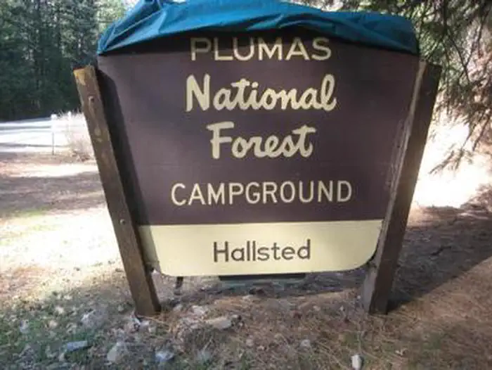
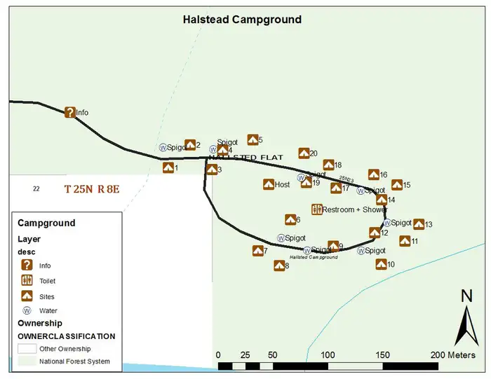
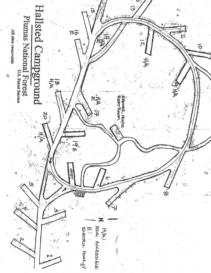
Overview Hallsted campground is conveniently situated in the Feather River Canyon, just off the main road in the northern Sierra Nevada Mountains. At an elevation of 2,300 feet, it offers a cool getaway from the summer heat, as well as a variety of outdoor activities The route on the nearby Feather River National Scenic Byway traverses a steeply carved river gorge that encapsulates the historic railroad system from Oroville to Quincy and impressive powerhouses built to provide hydroelectricity. Recreation Fly fishing for trout and swimming are popular activities in the nearby north fork of the Feather River. Facilities Hallsted is within walking distance of the Feather River. The campground offers multiple single-family sites, accommodating both tent and trailer camping. Tables and campfire rings with grills are provided, as well as flush toilets, showers and drinking water. Recently renovated, most of Hallsted’s campground spurs have been widened and lengthened as well as multiple sites now have power. The shower and bathroom facilities are all new. In addition, a nice walking path meanders through the forest and takes you down to the North Fork of the Feather River. Natural Features Mature pine and fir trees provide ample shade for the campground, as well as a perfect atmosphere for mountain camping. Several sites parallel the north fork of the Feather River. A variety of wildlife make its home in the area. Nearby Attractions A general store is available in Twain, less than a half-mile from the campground. Quincy is approximately 17 miles east, providing the nearest source of fuel.
From the managing agency.
Is HALLSTED free?
We do not have a fee on record for HALLSTED. Confirm the cost locally before you go.
How do I get to HALLSTED?
HALLSTED is at 40.0175, -121.0731. We do not hold written directions for this one, so navigate to the coordinates.
Nearby
- Hallsted Campground0.1 mi
- Snake Lake (Family Cg)4.3 mi
- Snake Lake Campground and Equestrian Camp4.3 mi
- Silver Lake (Family Cg)5.1 mi
- Silver Lake Campground (Plumas National Forest, CA)5.2 mi
- Spanish Creek (family Campground )5.7 mi
- Spanish Creek Group Campground5.8 mi
- SPANISH CREEK CAMPGROUND5.8 mi
- Almanor RV Dump Station15.1 mi
SourceSource data is agency published. Last synced September 19, 2026. Community reports and photos are submitted by travelers and are not verified by the agency.
