
Silver Creek
Campground · Fee not listed
Fast facts
- Cost
- Not listed. Check locally.
- Type
- Campground
- Nearest dump station
- Indian Creek Camp Ground-Trailer Dump Site · 10.5 mi
- Nearest water fill
- Indian Creek Camp Ground-Potable Water · 10.9 mi
- Coordinates
- 38.5890, -119.7872
- Last verified
- September 19, 2026
About this place
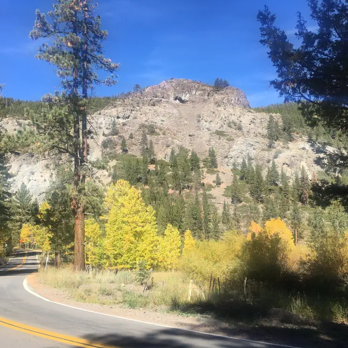
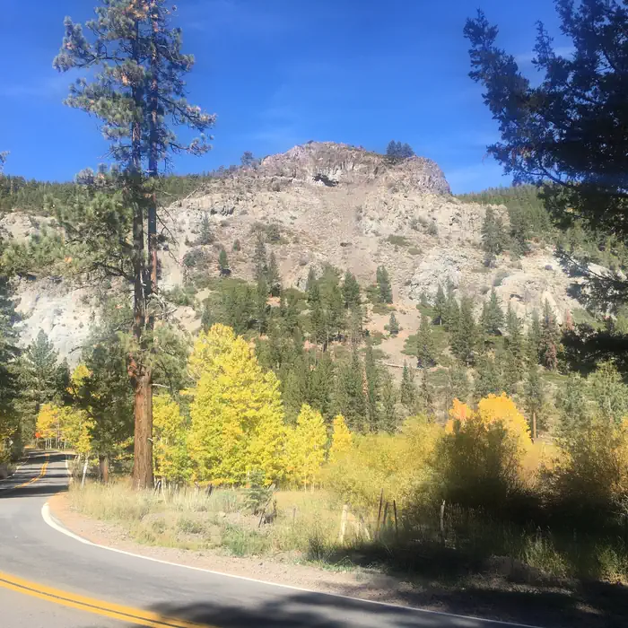
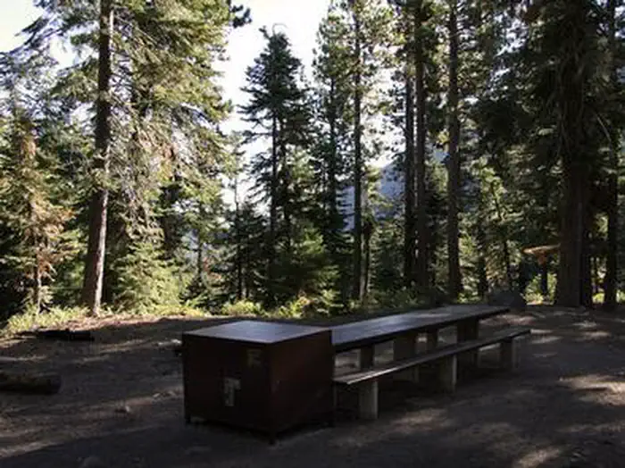
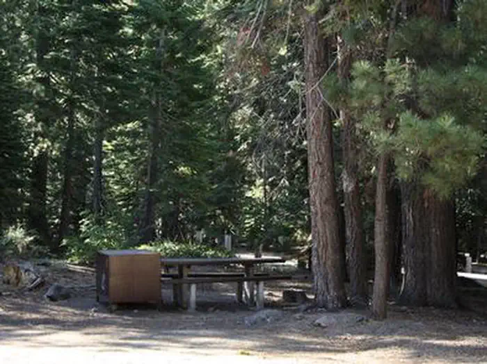
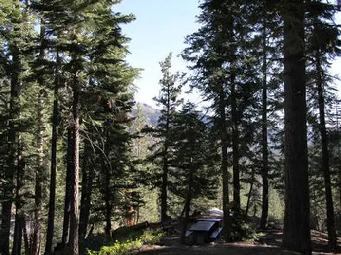
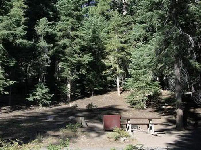
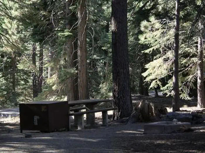
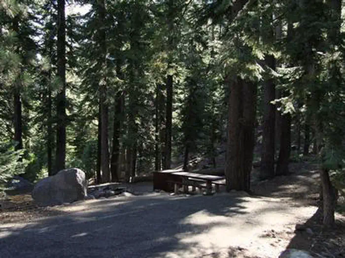
Overview Silver Creek Campground is located near the town of Markleeville on scenic Highway 4. Visitors enjoy fishing various waterways in the area and exploring the nearby Pacific Crest Trail. Recreation Anglers enjoy fishing the nearby East Fork Carson River, as well as other creeks in the vicinity. The Pacific Crest Trail can be accessed just 3 miles west of the site. Facilities This campground straddles Highway 4, creating two separate loops containing several single-family sites with picnic tables, food storage lockers and campfire rings with grills. Vault toilets, No Water Available, Dry Camping only and trash collection are provided. Firewood is available for purchase from the host. Natural Features The campground is situated in a beautiful, shady fir and pine forest on the mountainside just above Noble Creek. The elevation is 7,100 feet.
From the managing agency.
Is Silver Creek free?
We do not have a fee on record for Silver Creek. Confirm the cost locally before you go.
How do I get to Silver Creek?
Silver Creek is at 38.5890, -119.7872. We do not hold written directions for this one, so navigate to the coordinates.
Nearby
- Silver Creek Campground0.0 mi
- Bloomfield Campground4.1 mi
- Centerville Flat Campground4.5 mi
- Hermit Valley Campground6.9 mi
- Highland Lakes Campground7.0 mi
- Markleeville7.5 mi
- Markleeville Campground7.5 mi
- Pacific Valley Campground8.0 mi
- Indian Creek Camp Ground-Trailer Dump Site10.5 mi
- Indian Creek Camp Ground-Potable Water10.9 mi
SourceSource data is agency published. Last synced September 19, 2026. Community reports and photos are submitted by travelers and are not verified by the agency.
