
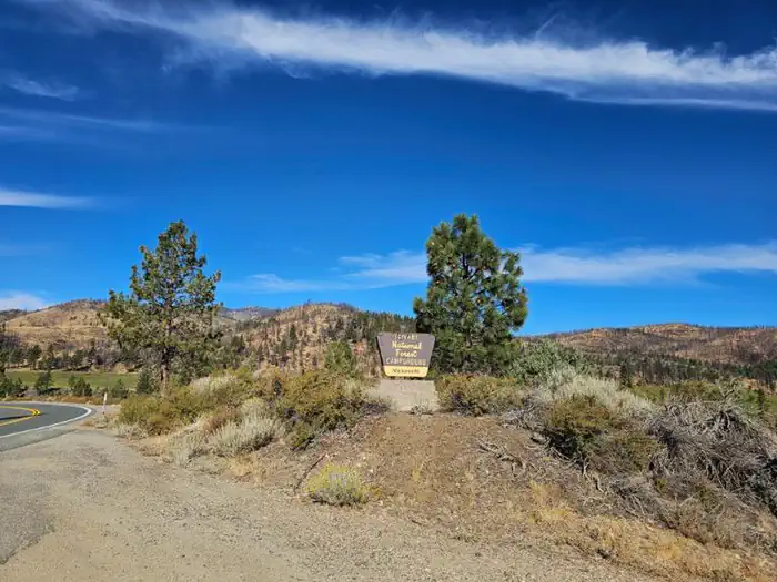
Markleeville
Campground · Fee not listed
Fast facts
- Cost
- Not listed. Check locally.
- Type
- Campground
- Phone
- 760-932-7070
- Nearest dump station
- Indian Creek Camp Ground-Trailer Dump Site · 3.0 mi
- Nearest water fill
- Indian Creek Camp Ground-Potable Water · 3.5 mi
- Coordinates
- 38.6977, -119.7764
- Last verified
- September 19, 2026
About this place
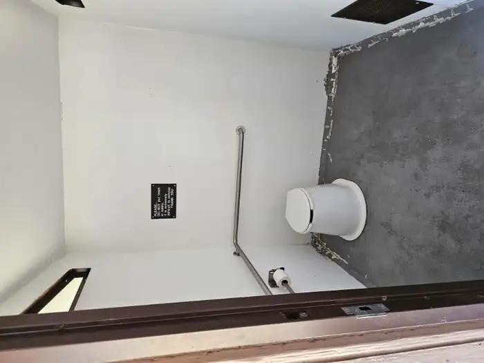
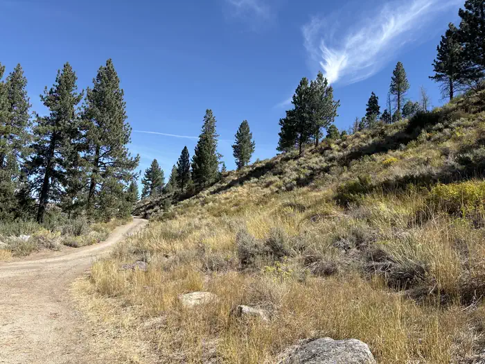
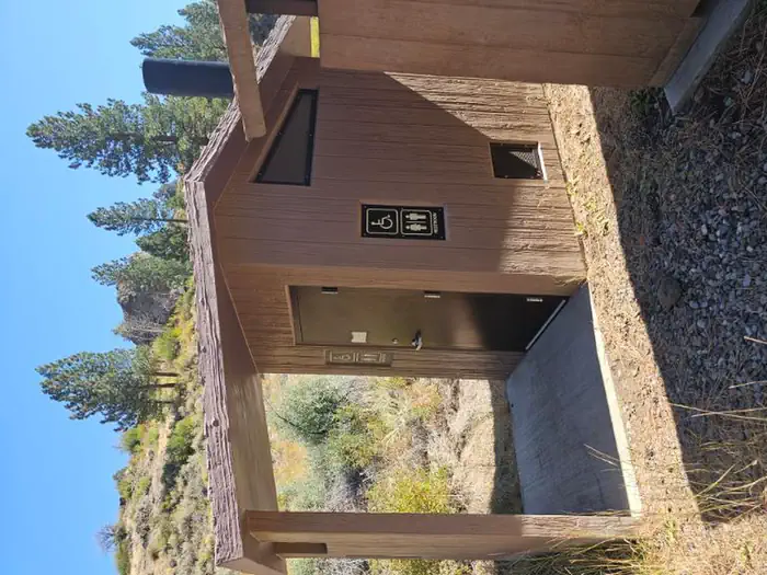
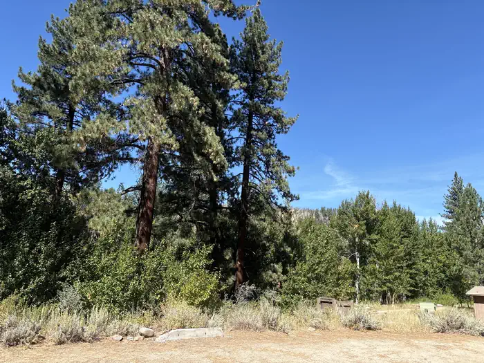
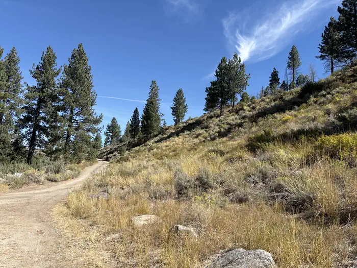
Overview Located on Markleeville Creek, in the shade of Jeffrey Pines and Cottonwood trees. Facilities This campground has camping for tents and small RV (less than 24 ft in length). The campsites offer a picnic table, campfire ring, and food storage lockers. Vault toilets and garbage service is provided. There is currently no potable water. Natural Features The Markleeville campground sits along side Markleeville Creek in the small town of Markleeville, California. The campground is at an elevation of 5500.
From the managing agency.
Is Markleeville free?
We do not have a fee on record for Markleeville. Confirm the cost locally before you go.
How do I get to Markleeville?
Markleeville is at 38.6977, -119.7764. We do not hold written directions for this one, so navigate to the coordinates.
Nearby
SourceSource data is agency published. Last synced September 19, 2026. Community reports and photos are submitted by travelers and are not verified by the agency.
