
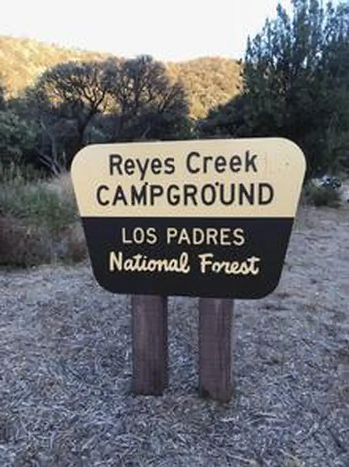
REYES CREEK CAMPGROUND
USFS · Campground · Fee
Fast facts
- Cost
- Fee charged
- Managed by
- USFS
- Type
- Campground
- Hours
- Open 24 hours/day
- Reservations
- recreation.gov
- Phone
- 805 434 1996
- Coordinates
- 34.6812, -119.3088
- Last verified
- September 19, 2026
About this place
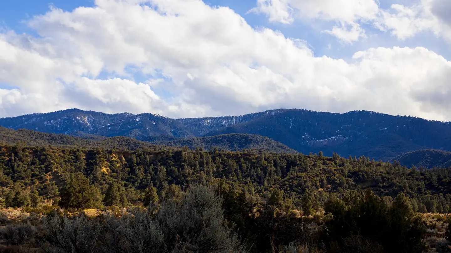
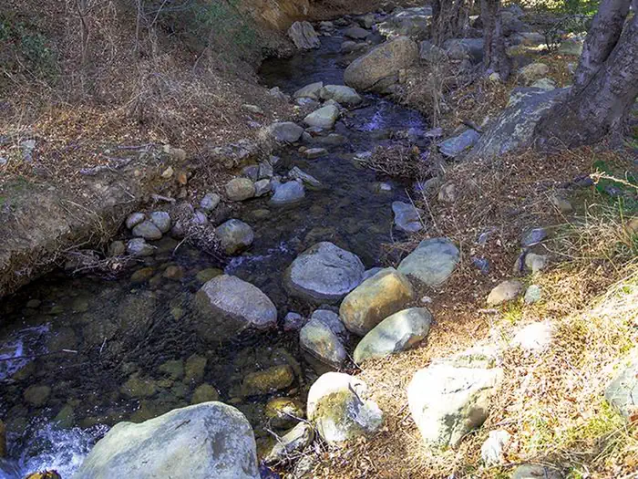
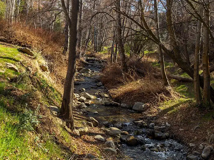
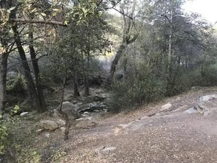
Overview Hammock spots, dipping holes and a fishing stream make Reyes Creek Campground an ideal hideaway. Located near the Sespe Wilderness alongside Reyes Creek you will find renewal and replenishment, Reyes Creek-style. Recreation Trail hiking, fishing, swimming, group camping, mountain biking, hunting, horseback riding, nature viewing, and recreational mining are favored activities. Day trips to higher elevation snow play in the winter is also enjoyed. Facilities Reyes Creek Campground has 24 generously spaced campsites, ideal for tents, pickup truck campers, small RVs or small van conversion campers. RVs over 22 ft. are not recommended. Please bring all the water you will need for your stay as there is no water available. Six vault toilets service the campground. The road through the campground is narrow in places so RVs should be aware of obstructions and difficult angles into the campsites. Natural Features This shaded streamside campground located at 3,500 feet elevation boasts an ample supply of riparian oak and cottonwood trees. The creek area is well shaded and runs year-round. Overhead you may catch a glimpse of red-tailed hawks soaring above the trees. If you are lucky, you may see a California condor! Nearby Attractions Located south of Ozena Valley, this campground provides access to the Sespe Wilderness via the Reyes Creek Trail linking to the Piedra Blanc National Recreation Trail. This site is the trailhead for Gene Marshall-Piedra Blanca National Recreation Area ideal for hiking or mountain biking.
From the USFS.Official page
Is REYES CREEK CAMPGROUND free?
No. REYES CREEK CAMPGROUND charges a fee. It is managed by the USFS. Sites are reservable through recreation.gov.
How do I get to REYES CREEK CAMPGROUND?
From Ojai take HWY. 33 North *** miles. Turn right on to Lockwood Valley Road. In 3.5 miles, turn right on Reyes Creek Road (7N11). From Frazier Park, take Lockwood Valley Road for **** miles. Turn left onto Reyes Creek Road (7N11).and continue approximately 2 miles to campground at end of road.
Nearby
- REYES PEAK CAMPGROUND3.0 mi
- PINE MOUNTAIN CAMPGROUND3.1 mi
- Rancho Nuevo Campground5.2 mi
- Dome Springs Campground7.1 mi
- Nettle Springs8.5 mi
- Pine Springs Campground10.1 mi
- HOLIDAY GROUP CAMPGROUND11.4 mi
- Thorn Meadows11.7 mi
No other services within 50 mi on the record.
SourceData from the USFS. Last synced September 19, 2026. Community reports and photos are submitted by travelers and are not verified by the agency.
