
PINE MOUNTAIN CAMPGROUND
USFS · Campground · Fee
Fast facts
- Cost
- Fee charged
- Managed by
- USFS
- Type
- Campground
- Reservations
- recreation.gov
- Phone
- 805-434-1996
- Coordinates
- 34.6388, -119.3269
- Last verified
- September 19, 2026


About this place
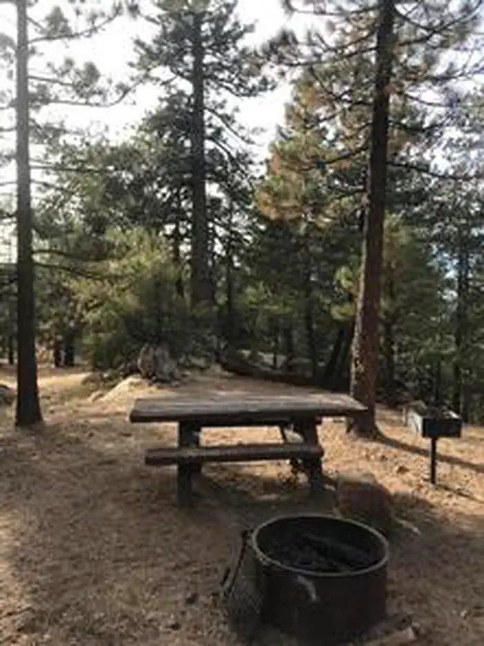
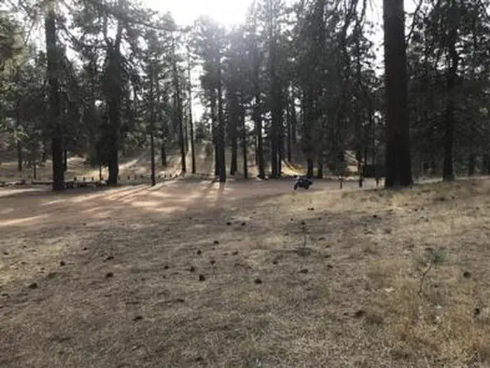
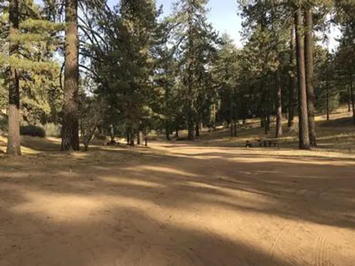
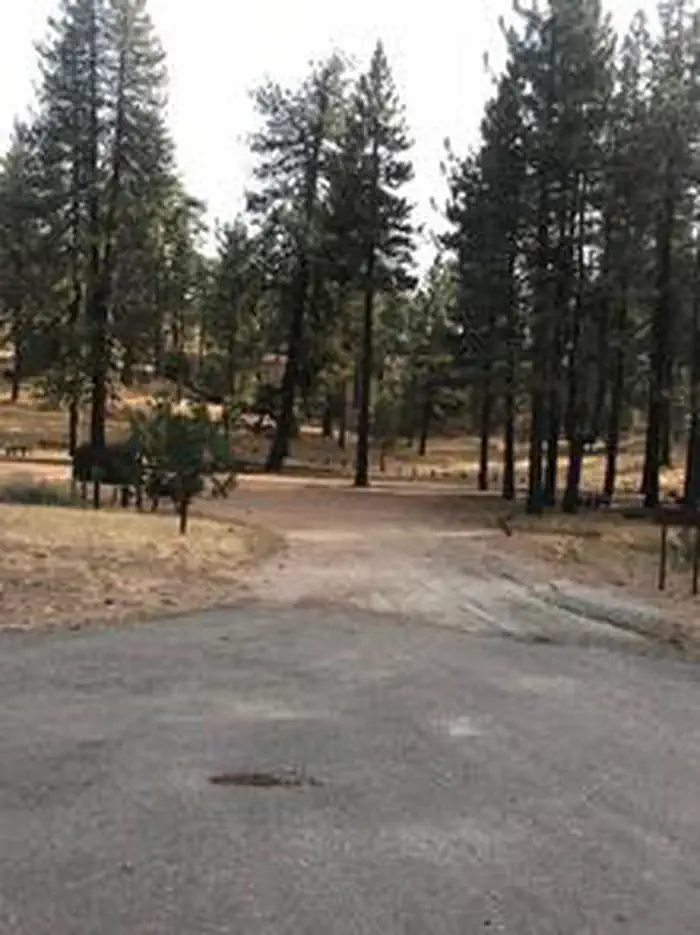
Overview Perfectly situated high above the Sespe Wilderness offering stunning views of the valley below and the Channel Islands in the distance lies Pine Mountain Campground. You will find yourself surrounded by moderate hills, tall pine trees and the sounds of silence. At an elevation of 6,650 feet, it offers cooler temperatures on hot summer days, and a chance to let everything else go as you take in all that nature has to offer. Recreation There is one designated trail in the area, Boulder Canyon (23W03). You may also want to walk around the surrounding hills to see the views and the trees. And just a mile up the road there are a couple of trails leaving Reyes Peak Campground - Chorro Grande Trail and Raspberry Spring Trail. Drive past the gate at the end of the paved road and you will end up at Reyes Peak Trailhead. Facilities Pine Mountain Campground consists of six campsites fashioned in a circle with a large open area in the middle. There are tables, barbecue grills or fire rings, and one pit toilet at this campground. This is a "dry campground" so please bring your own water. Natural Features You will find Jeffrey pine, sugar pine and white fir trees at the campground. Along the outskirts, you'll notice chaparral species. These species include manzanita, and California sage. You may also see some scrub oak. Be dazzled by wildflowers, which are abundant in the spring and early summer. Lupine, false lupine, scarlet bugler and many others round out the scenery. Keep your eyes open for red-tailed hawks soaring above the trees. If you are lucky, you may see a California condor! Other birds in the area include woodpeckers and chickadees. Deer, bear and coyote also live in the area. Nearby Attractions Hiking trails, biking and fishing are all within 30 minutes from the campground. On a day trip south along Hwy 33, to the Rose Valley Road (6N31), you will find the Piedra Blanca trailhead located across Sespe Creek. The Gene Marshall-Piedra Blanca National Recreation Trail (22W03) in the Sespe Wilderness will lead you to nearby massive white rocks, called Piedra Blanca! It is an easy walk for the first three miles. A principal attraction to this section of the Sespe is Rose Valley Falls. This trail to the falls begins just before you enter Rose Valley Campground. Follow it for a short half mile and you will be at the base of the falls. The cliffs at the falls are arkosic sandstone and crumble easily, so tread lightly. Rose Valley Falls is the tallest waterfall in the range and while it is an easy hike to the base of the 100-foot tall lower tier of the waterfall (0.8 miles round trip with 150 feet of elevation gain), it is adventure to reach the more impressive upper tier. Please do not climb around on steep sections or get close to the edge. You will need to park outside Rose Valley Campground to hike the trails. Another trail, the Sespe River Trail (20W13) will lead you downstream into the Sespe Wilderness. You will find some swimming holes along this walk. Remember, no mountain bicycles allowed on wilderness trails. If you would like to go on a mountain bicycle ride, take the Middle Sespe Trail (22W04) that leads up river eight miles to the west to Middle Sespe Trailhead.
From the USFS.Official page
Is PINE MOUNTAIN CAMPGROUND free?
No. PINE MOUNTAIN CAMPGROUND charges a fee. It is managed by the USFS. Sites are reservable through recreation.gov.
How do I get to PINE MOUNTAIN CAMPGROUND?
From Ojai, California, travel north on Highway 33 for 31.5 miles. Turn right onto Pine Mountain Ridge Road/ Forest Road 6N06 and travel for 4.8 miles and the destination will be on your right.
Nearby
- REYES PEAK CAMPGROUND0.6 mi
- REYES CREEK CAMPGROUND3.1 mi
- Rancho Nuevo Campground5.6 mi
- HOLIDAY GROUP CAMPGROUND8.9 mi
- WHEELER GORGE9.3 mi
- Dome Springs Campground10.1 mi
- ROSE VALLEY CAMPGROUND11.0 mi
- Middle Lion11.0 mi
No other services within 50 mi on the record.
SourceData from the USFS. Last synced September 19, 2026. Community reports and photos are submitted by travelers and are not verified by the agency.
