
RED FIR FLAT GROUP CAMPGROUND
USFS · Campground · Fee
Fast facts
- Cost
- Fee charged
- Managed by
- USFS
- Type
- Campground
- Hours
- Open 24 hours/day
- Reservations
- fs.usda.gov
- Phone
- 530-926-4511
- Nearest dump station
- Medicine Lake Dump Station · 38.7 mi
- Coordinates
- 41.3439, -122.2533
- Last verified
- September 19, 2026
About this place
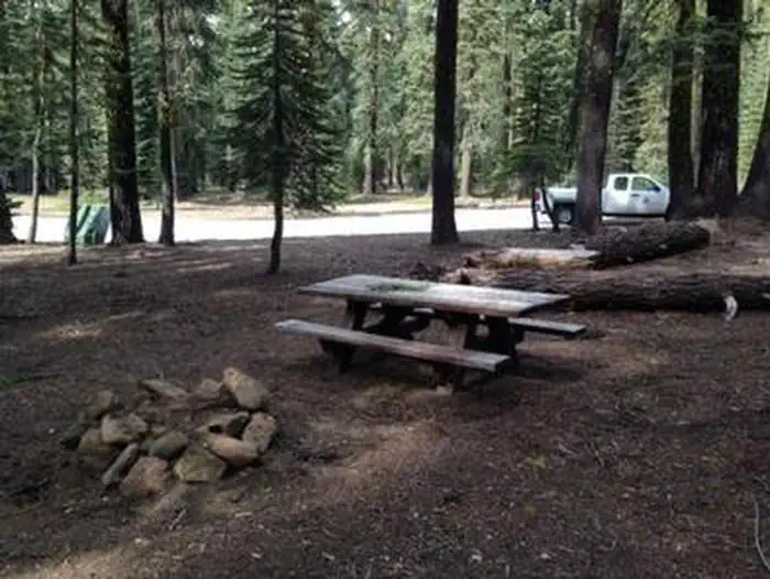
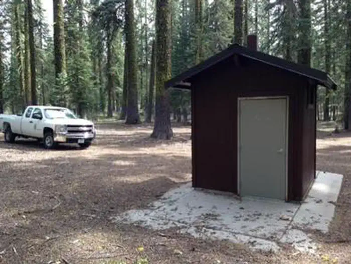
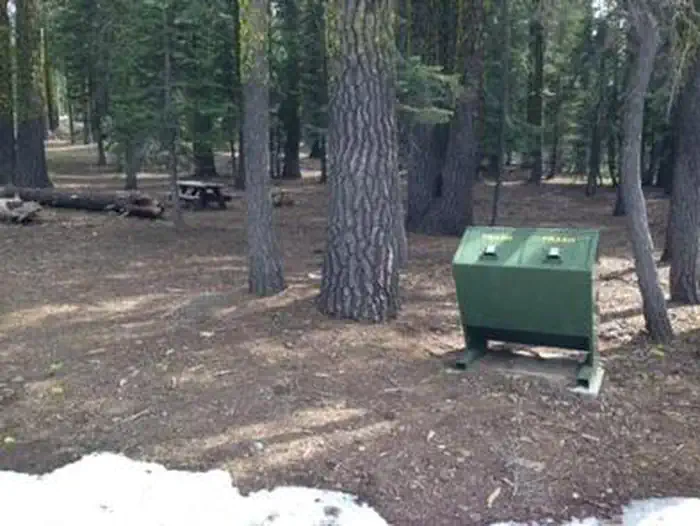
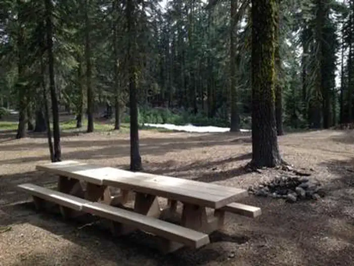
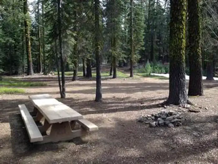
Overview Red Fir Flat Group Campground is located on the southern slope of Mt. Shasta at 6,400 feet in elevation. Snowpack in this location may extend into late June on heavy snow years, and usually sees late season snowfall in early November, possibly October. It is a popular site for meditation/retreat groups. Maximum stay limit is 7 days per group and or indvidual(s) Recreation Most visitors enjoy the peace and solitude of the forest setting. Several hiking trails are located nearby, including the trail to the historic stone cabin at timberline owned and operated by the Sierra Club Foundation. Also within a few miles are Upper and Lower Panther Meadows, the access trail to South Gate Meadows and the trail to Gray Butte. Facilities Facilities include several picnic tables, an established fire ring, bear proof trash recepticles and vault toilet. Limited garbage service is provided and visitors are asked to pack out what they can. There is no water at this site; please bring your own. Campfires are allowed with a California Campfire Permit. Gathering of dead and down firewood is allowed for use while in the campground. Natural Features The campground is situated in an old growth forest of Shasta red fir. The forest provides plenty of shade and has open sunny spots as well. There is no view of the upper mountain from this location; however, views to the west and south include the Trinity Alps, Mount Eddy, and Castle Crags. Nearby Attractions The area offers hiking trails, mountain bike trails, and climbing routes to the summit of Mt. Shasta. Mt. Shasta City is 10 miles away and provides full services including grocery stores and restaurants. Charges & Cancellations A $10.00 service fee will apply if you change or cancel your reservation. Late cancellations are subject to additional fees. For full details see NRRS Reservation Policy.
From the USFS.
Is RED FIR FLAT GROUP CAMPGROUND free?
No. RED FIR FLAT GROUP CAMPGROUND charges a fee. It is managed by the USFS. Sites are reservable through fs.usda.gov.
How do I get to RED FIR FLAT GROUP CAMPGROUND?
The campground is located on the west side of the Everitt Memorial Hwy above the town of Mt. Shasta.
Nearby
SourceData from the USFS. Last synced September 19, 2026. Community reports and photos are submitted by travelers and are not verified by the agency.
