
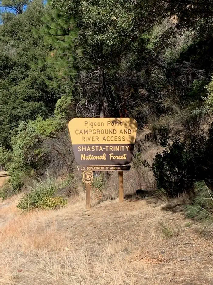
Pigeon Point Group Campground
Campground · Fee not listed
Fast facts
- Cost
- Not listed. Check locally.
- Type
- Campground
- Phone
- 5306232121
- Nearest dump station
- Old Station Dump Site · 89.8 mi
- Coordinates
- 40.7671, -123.1303
- Last verified
- September 19, 2026
About this place
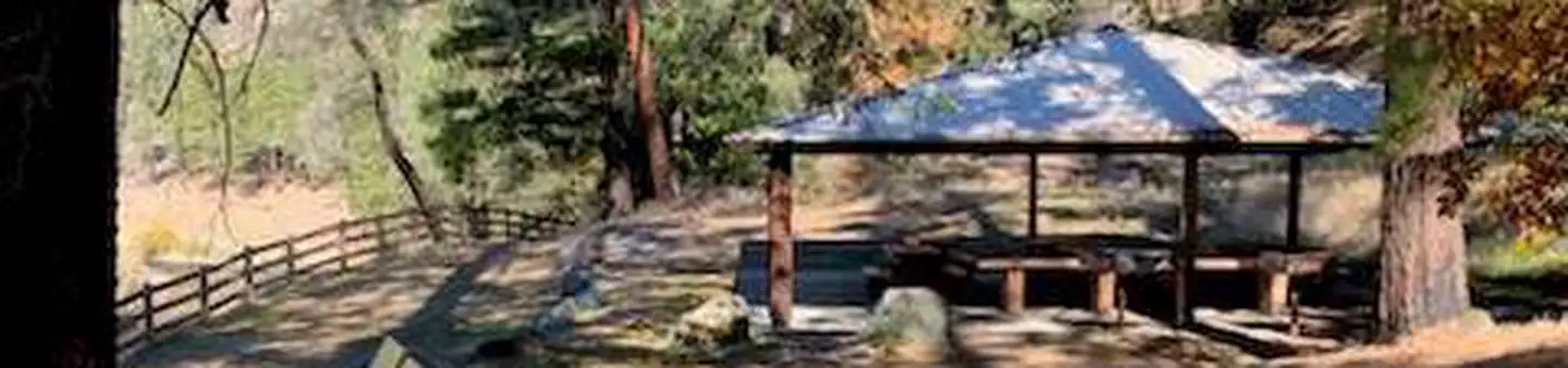
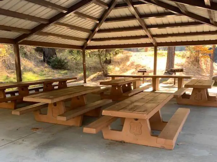
Overview Pigeon Point Group Campground is located on CA Highway 299 approximately 15 miles west of Weaverville, CA at 1100'. Located on the Wild and Scenic portion of the Trinity River, this campground is a wonderful place to camp when enjoying all the river has to offer. Recreation The Trinity River offers fun-filled hours of fishing, swimming, floating, rafting, kayaking and boating. River access is available at this location for boats that can be carried by hand. Nearby tributaries to the Trinity River offer beautiful spots to swim and spend the day. Generally, Pigeon Point to Big Flat is too dangerous for tuber and family canoeists. Boating is not advisted from Cedar Flat to Grays Falls except for expert boaters. Several commercial guides operate on the Trinity River under Forest Service Special Use permits. They provide quality guided raft and white water instruction and can be found on the Shasta-Trinity NF website . **Please note that the Trinity River is subject to periodic changes in flow conditions from releases from Lewiston Dam. Current flows (CFS) can be obtained by calling (530) 246-7594. Facilities There is one group site located at this campground. There are picnic tables, fire rings and vault toilets. No potable water is available. Natural Features Located on the Wild and Scenic portion of the Trinity River, this campground has a beautiful view of the river.
From the managing agency.
Is Pigeon Point Group Campground free?
We do not have a fee on record for Pigeon Point Group Campground. Confirm the cost locally before you go.
How do I get to Pigeon Point Group Campground?
Pigeon Point Group Campground is at 40.7671, -123.1303. We do not hold written directions for this one, so navigate to the coordinates.
Nearby
SourceSource data is agency published. Last synced September 19, 2026. Community reports and photos are submitted by travelers and are not verified by the agency.
