
OAK SHORES DAY USE AREA (CA)
Campground · Fee not listed
Fast facts
- Cost
- Not listed. Check locally.
- Type
- Campground
- Phone
- 707-966-2111
- Nearest dump station
- Sugar Pine Dump Station · 86.9 mi
- Coordinates
- 38.5600, -122.2349
- Last verified
- September 19, 2026

About this place
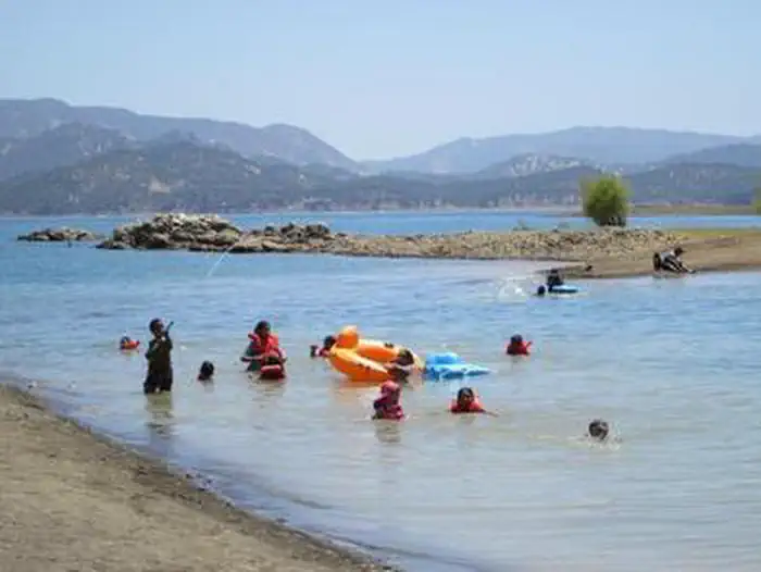
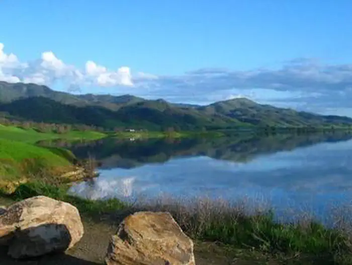
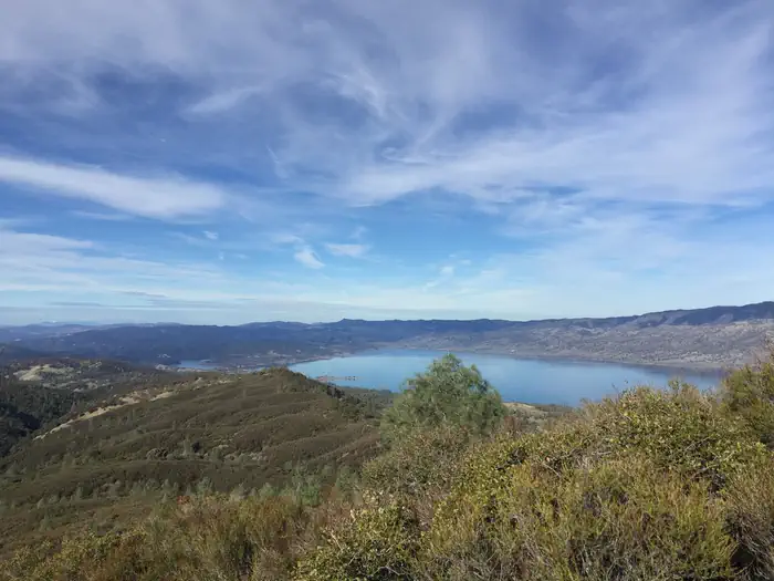
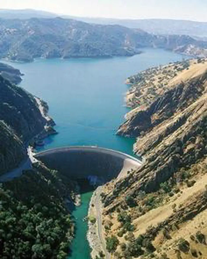
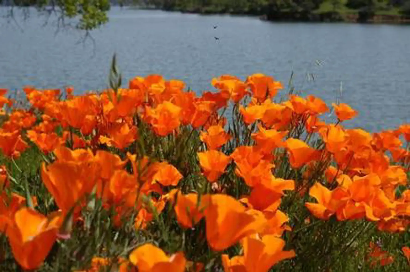
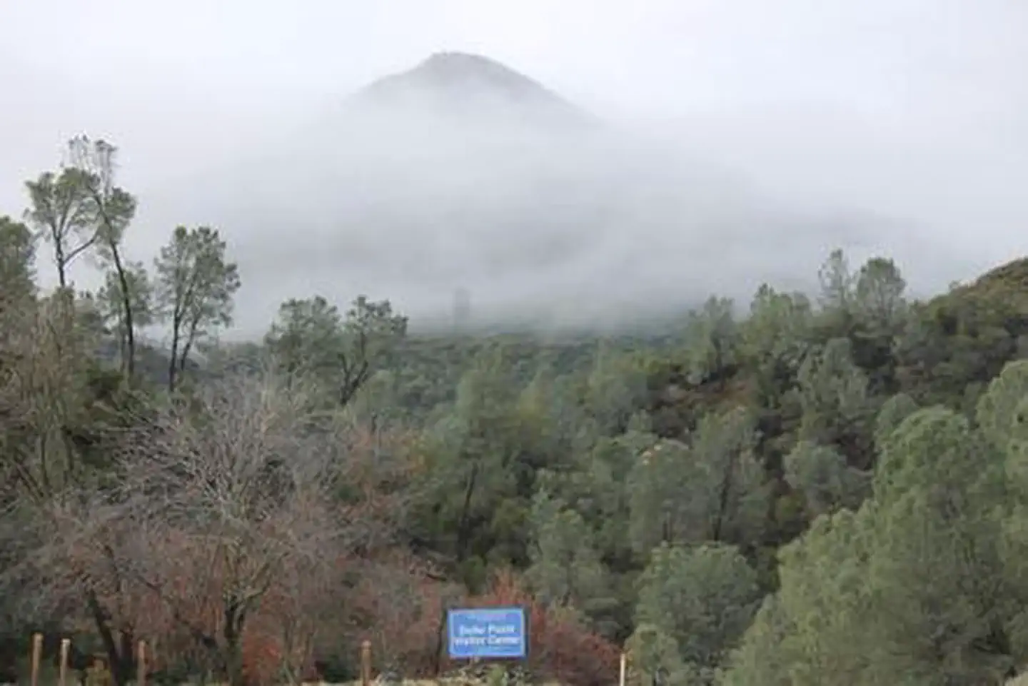
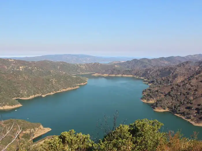
Overview Nestled between Blue Ridge and Cedar Roughs east of Napa Valley, Lake Berryessa provides ample public recreation opportunities. Popular activities on and around the large, yet uncrowded lake include fishing, boating, water skiing, wake boarding, jet skiing, sailing, swimming, kayaking, canoeing, wildlife viewing, hiking, biking and picnicking. The Dufer Point Visitor Center offers year-round interpretive events and exhibits highlighting natural and cultural resources. Lake Berryessa is a Federal reservoir managed by the Department of the Interior's Bureau of Reclamation, Mid-Pacific Region (Central California Area Office). Recreation Oak Shores and Smittle Creek Day Use areas offer free day use, beach activities, swimming, shoreline fishing and wildlife viewing. The 2.6-mile long Smittle Creek Trail connects the two areas. Commercial Concession Areas also provide a variety of recreation opportunities for a fee at the lake. These include camping, lodging, marina services, boat rentals and retail stores. Contact the concession areas directly for information about amenities and fees. For more information on concessions, visit: https://www.usbr.gov/mp/ccao/berryessa/visitor-info.html Facilities Reclamation Managed Day Use Areas offer more than 200 picnic sites which are equipped with picnic tables, barbeque grills, restrooms and drinking water. There are six covered group picnic sites that can be reserved or can be used on a first-come, first-served basis. Natural Features Lake Berryessa is more than just a great place for water recreation. The blue oak woodlands covering the surrounding hills are home to a wide variety of plants and animals, all dependent on each other to survive. Visitors can experience the beauty of Lake Berryessa by hiking the Smittle Creek Trail. The climate is Mediterranean with warm, dry summers and cool, wet winters. For those who wish to venture outside the main recreation areas, there are many unique places to visit. Overall, the geography is quite varied and provides many opportunities for recreation. Nearby Attractions Nearby areas including Cedar Roughs Wilderness Area and Knoxville Recreation Area offering extensive backcountry and hiking opportunities. Stebbins Cold Canyon Reserve, operated by the University of California at Davis, is a high-quality hiking experience near the Monticello Dam that provides great views of Lake Berryessa.
From the managing agency.
Is OAK SHORES DAY USE AREA (CA) free?
We do not have a fee on record for OAK SHORES DAY USE AREA (CA). Confirm the cost locally before you go.
How do I get to OAK SHORES DAY USE AREA (CA)?
OAK SHORES DAY USE AREA (CA) is at 38.5600, -122.2349. We do not hold written directions for this one, so navigate to the coordinates.
Nearby
SourceSource data is agency published. Last synced September 19, 2026. Community reports and photos are submitted by travelers and are not verified by the agency.
