
WARM SPRINGS REC AREA
Campground · Fee not listed
Fast facts
- Cost
- Not listed. Check locally.
- Type
- Campground
- Phone
- 707-431-4533
- Coordinates
- 38.7178, -122.9992
- Last verified
- September 19, 2026
About this place
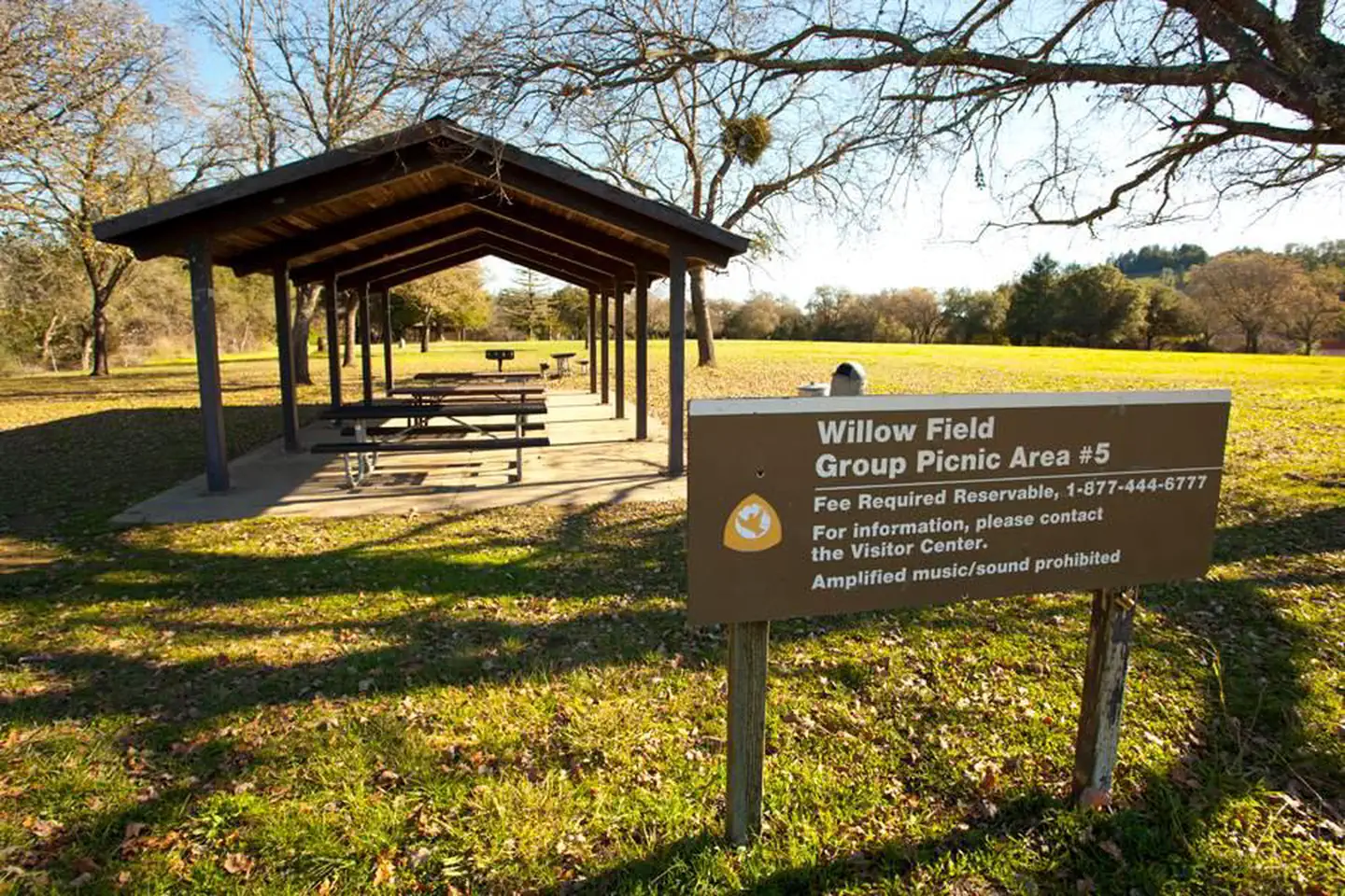
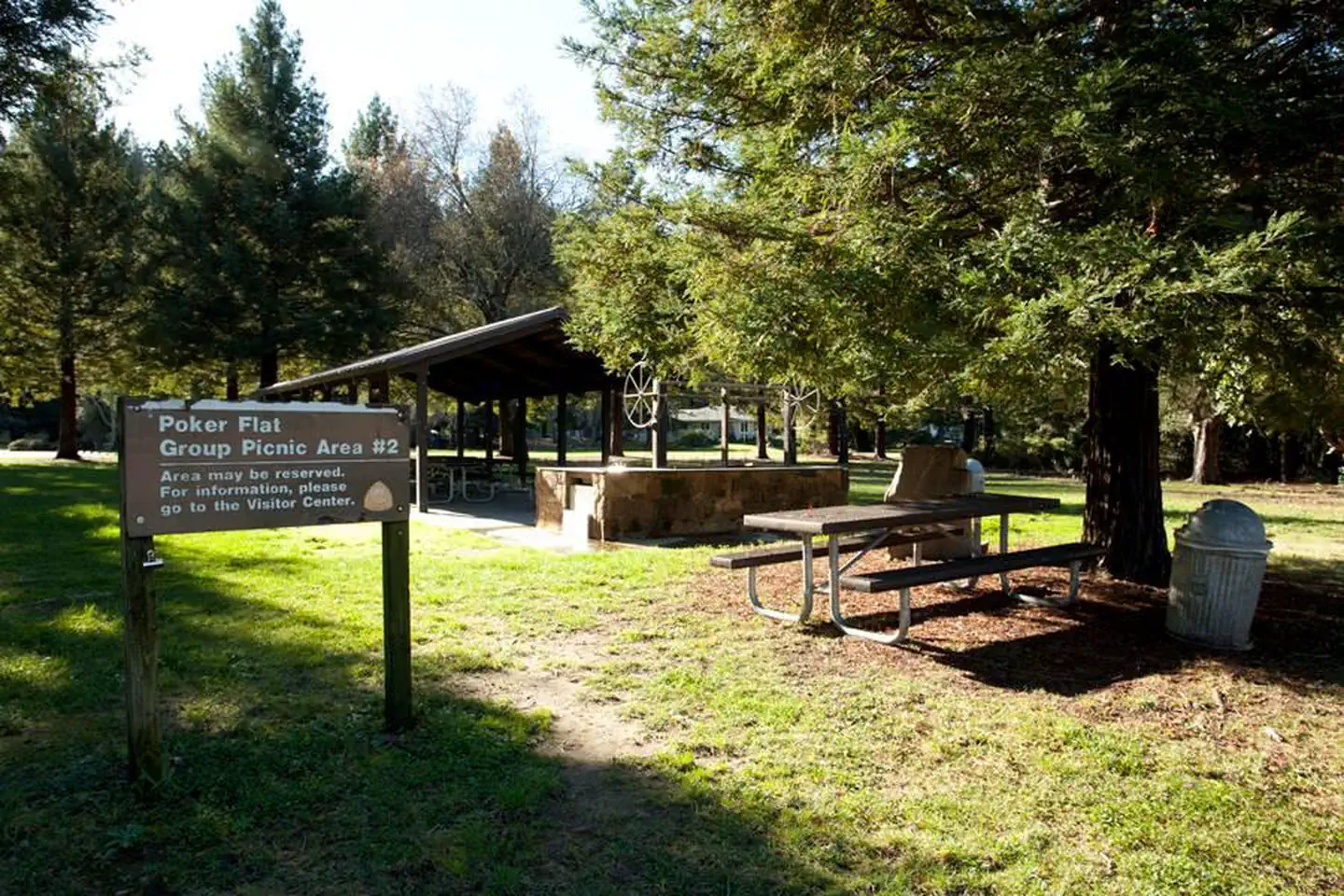
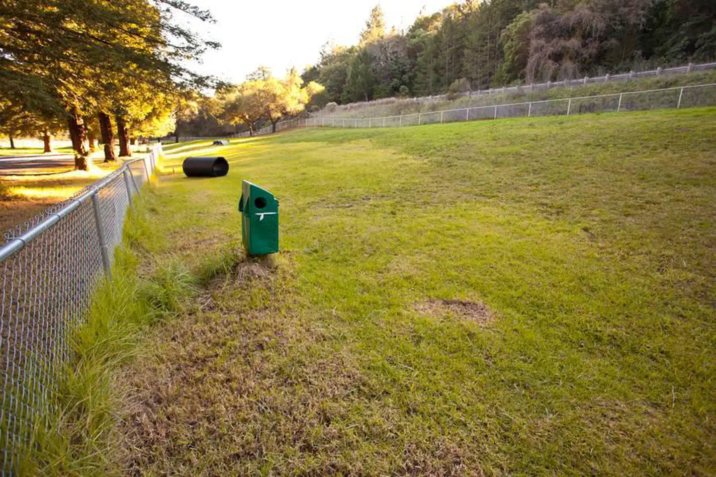
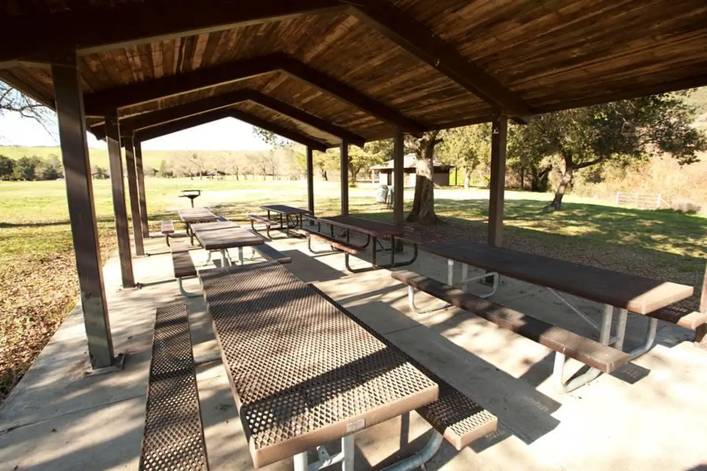
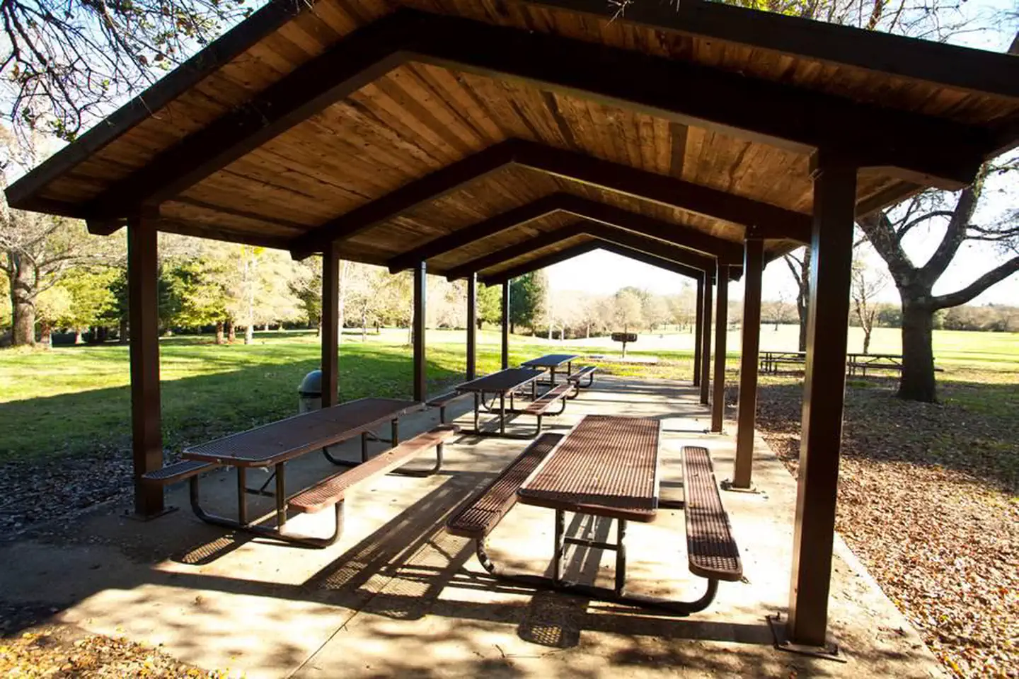
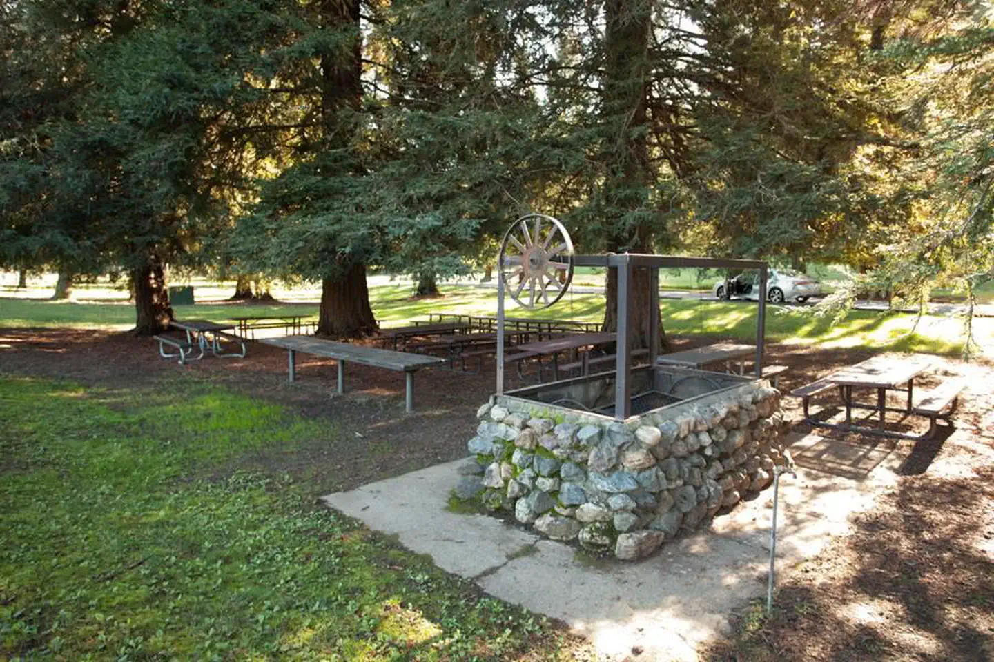
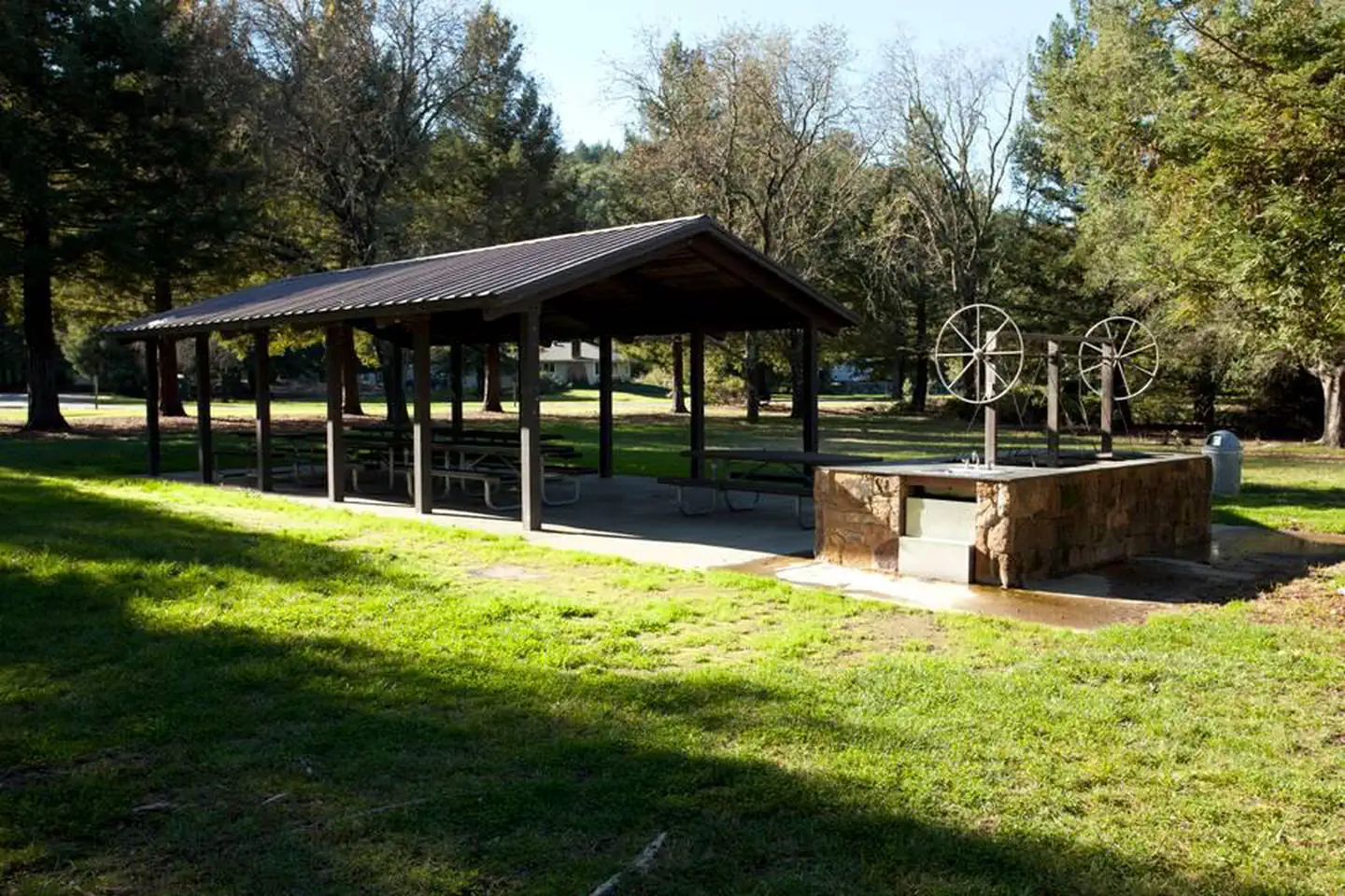
Overview Warm Springs Recreation Area is a day-use park located at Lake Sonoma, which is just a 45 minute drive north of Santa Rosa and a 2 hour trip from San Francisco. There is no overnight camping available at this facility World famous vineyards and a land rich in history surround the lake, where visitors enjoy boating, fishing and exploring the area's extensive trail network. Recreation The Woodland Ridge Nature Trail begins at the park and winds up the ridge, rewarding hikers with great views of the Dry Creek Valley and Lake Sonoma. The recreation area offers two sand volleyball courts and a large play area for football, baseball or other field sports. A small playground with a tire swing, slides and climbing structures is also on-site. The lake provides great boating and swimming opportunities. Anglers fish for large and smallmouth bass, catfish and sunfish. A small native population of rainbow trout exists in the waters as well. Facilities Warm Springs Recreation Area offers six group day-use picnic sites; there is no overnight camping available. Each site contains a covered shelter with seating for approximately 75 people. Each site is also equipped with picnic tables and a large grill. Flush toilets and drinking water are provided. Individual picnic sites are available on a first come, first served basis. Natural Features Lake Sonoma is nestled in the beautiful coastal foothills of Sonoma County, California. A large grassy, mowed field surrounds Warm Spring's picnic areas; shade trees are scattered around the field. Nearby Attractions Across the street from the picnic area, visitors can discover the natural and cultural history of the area at the Milt Brandt Visitor Center.
From the managing agency.
Is WARM SPRINGS REC AREA free?
We do not have a fee on record for WARM SPRINGS REC AREA. Confirm the cost locally before you go.
How do I get to WARM SPRINGS REC AREA?
WARM SPRINGS REC AREA is at 38.7178, -122.9992. We do not hold written directions for this one, so navigate to the coordinates.
Nearby
- BOAT-IN SITES (LAKE SONOMA)0.7 mi
- LIBERTY GLEN (LAKE SONOMA)3.1 mi
- CHEKAKA RECREATION AREA LAKE MENDOCINO35.0 mi
- BUSHAY RECREATION AREA36.8 mi
- Middle Creek Campground37.0 mi
- KYEN CAMPGROUND AND OAK GROVE DAY USE AREA37.1 mi
- POMO DAY USE AREA37.1 mi
- Deer Valley Campground38.3 mi
No other services within 50 mi on the record.
SourceSource data is agency published. Last synced September 19, 2026. Community reports and photos are submitted by travelers and are not verified by the agency.
