
OAK BOTTOM CAMPGROUND
USFS · Campground · Fee
Fast facts
- Cost
- Fee charged
- Managed by
- USFS
- Type
- Campground
- Reservations
- recreation.gov
- Nearest dump station
- Aspen Point Dump Station · 94.5 mi
- Coordinates
- 41.3772, -123.4514
- Last verified
- September 19, 2026
About this place
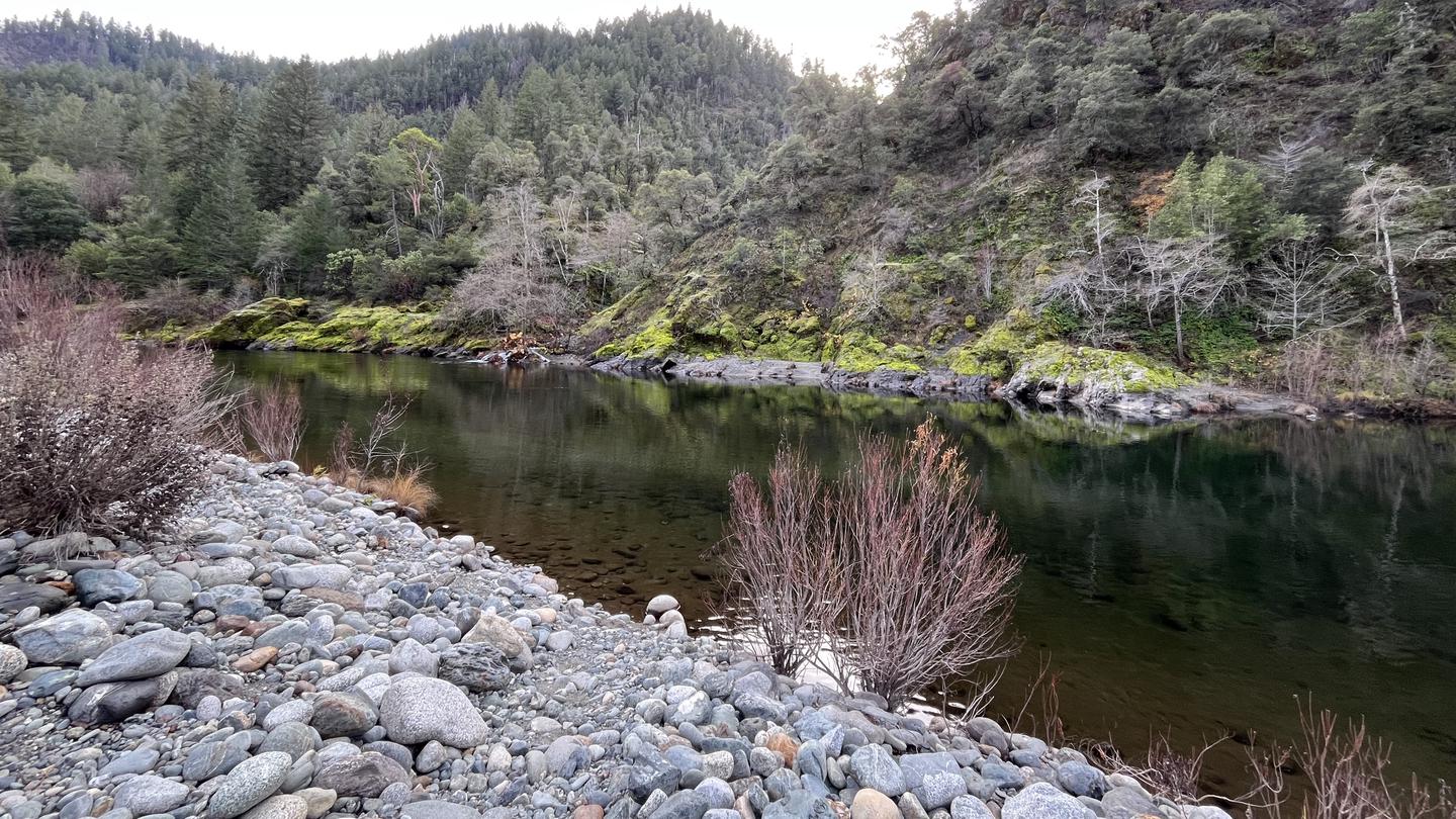
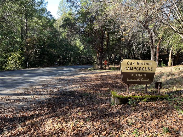
Overview PLEASE NOTE THIS IS NOT OAK BOTTOM CAMPGROUND AT WHISKEYTOWN LAKE. FOR THAT SITE NEAR REDDING, CALL 530-359-2269 Open from mid-May through mid-October, this Oak Bottom Campground is on the Salmon River at Somes Bar, California. It is situated on a shaded and gently sloping hillside in the expansive Six Rivers and Klamath National Forests, far from highway noise and city distractions. NEW: Each reservable campsite now has its own bear-resistant food storage locker, as do most of the first-come first-served campsites. Campsite List calendar starts at the next available reservation dates. Recreation Located near California's Salmon River, the campground is popular with whitewater enthusiasts in the spring. Many challenging rapids ranging from class 3 to 5 are available. Swimming is also popular in the summer and numerous river access areas are a short drive or walk from the campground. In the fall, salmon and steelhead trout fishing in the nearby Klamath River is known to be some of the best in the state. Facilities The campground offers 25 single-family sites. Each site is equipped with a bear-resistant food storage locker, picnic table, and fire ring with grill. Some sites have vintage rock stoves as well. Vault toilets and drinking water are provided. A campground host may be available. Natural Features The campground loops around a forested hillside of mixed Douglas fir and hardwood forest at a 700-foot elevation. Large deciduous trees provide ample shading for multiple sites within the campground, and a variety of wildlife makes its home in the area. Nearby Attractions The small town of Somes Bar is 2.5 miles from the campground. Propane, groceries, and tackle are available at a general store.
From the USFS.Official page
Is OAK BOTTOM CAMPGROUND free?
No. OAK BOTTOM CAMPGROUND charges a fee. It is managed by the USFS. Sites are reservable through recreation.gov.
How do I get to OAK BOTTOM CAMPGROUND?
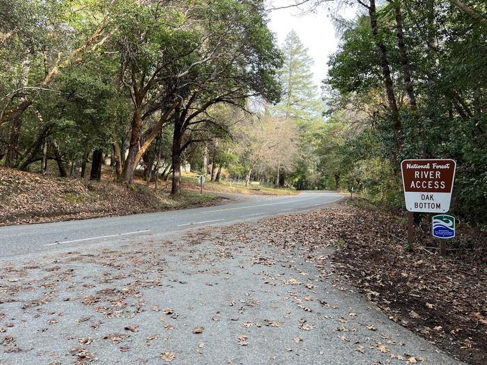
To reach the Oak Bottom campground, travel seven miles north on Highway 96 from the Ukonom/Orleans Ranger District Office. At the Salmon River Road turn east and travel three miles.
Nearby
SourceData from the USFS. Last synced September 19, 2026. Community reports and photos are submitted by travelers and are not verified by the agency.
