
NIRA CAMPGROUND
Campground · Fee not listed
Fast facts
- Cost
- Not listed. Check locally.
- Type
- Campground
- Phone
- 805 434 1996
- Coordinates
- 34.7705, -119.9375
- Last verified
- September 19, 2026


About this place
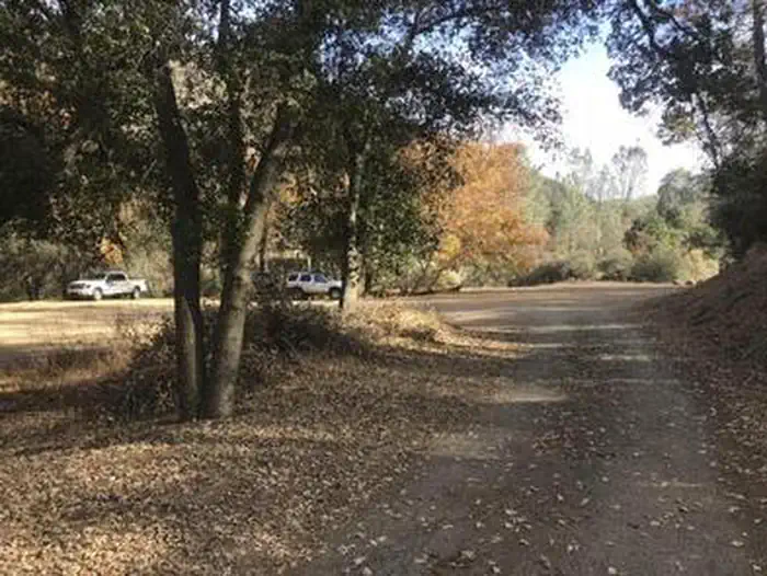
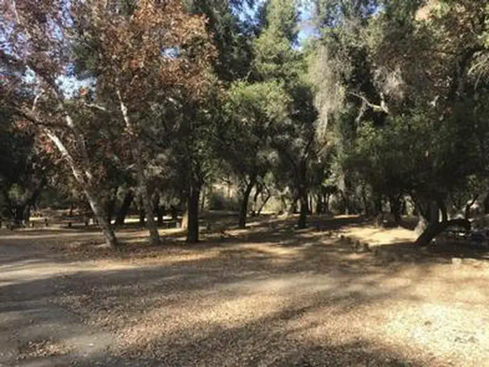
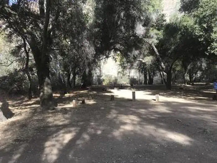
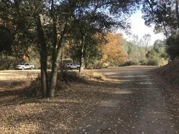
Overview Nira Campground is a beautiful site covered in oak trees and located along Manzana Creek. Whether you come to cast a line in the river, camp and relax, ride horses, mountain bike or hike, Nira offers a scenic location with a variety of recreation activities. Recreation Along with hiking, mountain biking, fishing and swimming, Nira Campground is a great starting point for backpacking and deer hunting expeditions into the San Rafael Wilderness. Located on Manzana Creek just upstream from the mouth of Davy Brown Creek, a trailhead provides access for various trails up and down Manzana Creek that enter the San Rafael Wilderness. Facilities While tent camping is best enjoyed in this cozy campground, there is room for small RVs under 20 feet. Nira has 12 campsites, each site includes a picnic table, barbecue grill and/or a fire ring. Sites 1-3 are tent and car camping sites only (no RVs due to size restrictions). There is a vault toilet in the campground. There is no drinking water at this site. Natural Features Nira Campground is surrounded and shaded by oak tree- covered mountains. Whether you're a beginner in the art of birdwatching, or an experienced birder, Nira will not disappoint. A bounty of birds such as king-fishers, juncos, Stellar jays, white-breasted nuthatches, warblers and many more flourish in this section of the Los Padres National Forest. Nearby Attractions The Manzana River runs through the campground where swimming and fishing are favorite activities. The trailhead for San Rafael Wilderness is easily accessible. Los Olivios, Santa Ynez, Solvang and Buelton are all within a one hour's drive.
From the managing agency.
Is NIRA CAMPGROUND free?
We do not have a fee on record for NIRA CAMPGROUND. Confirm the cost locally before you go.
How do I get to NIRA CAMPGROUND?
NIRA CAMPGROUND is at 34.7705, -119.9375. We do not hold written directions for this one, so navigate to the coordinates.
Nearby
- Nira0.0 mi
- DAVY BROWN CAMPGROUND1.2 mi
- Davy Brown1.3 mi
- Figueroa3.7 mi
- MT. FIGUEROA CAMPGROUND3.7 mi
- Bates Canyon12.7 mi
- Aliso Park Campground13.5 mi
- Fremont17.0 mi
No other services within 50 mi on the record.
SourceSource data is agency published. Last synced September 19, 2026. Community reports and photos are submitted by travelers and are not verified by the agency.
