
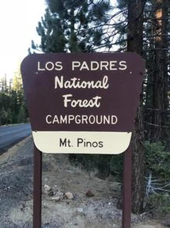
MT. PINOS CAMPGROUND
Campground · Fee not listed
Fast facts
- Cost
- Not listed. Check locally.
- Type
- Campground
- Phone
- 805 434 1996
- Coordinates
- 34.8137, -119.1022
- Last verified
- September 19, 2026


About this place
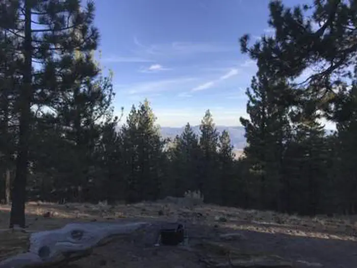
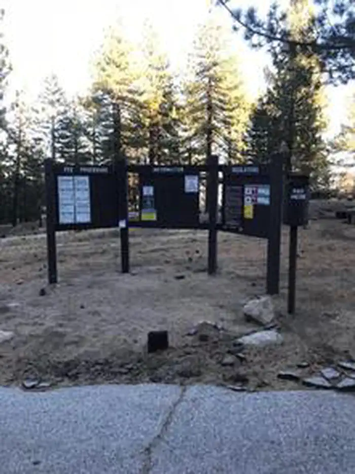
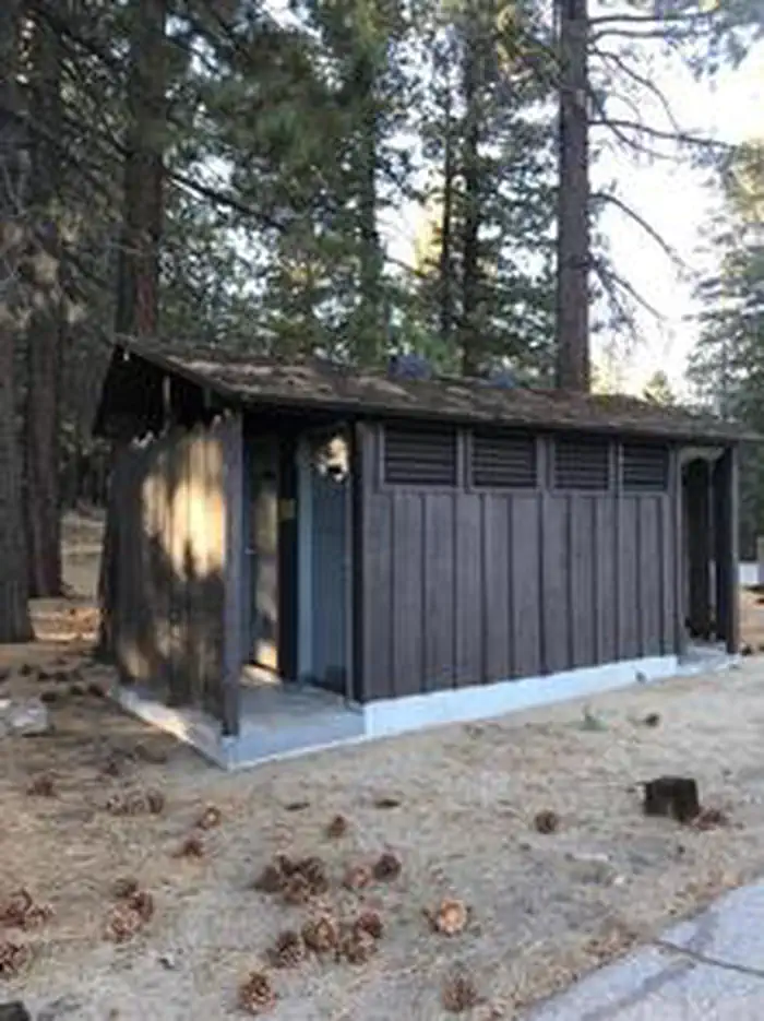
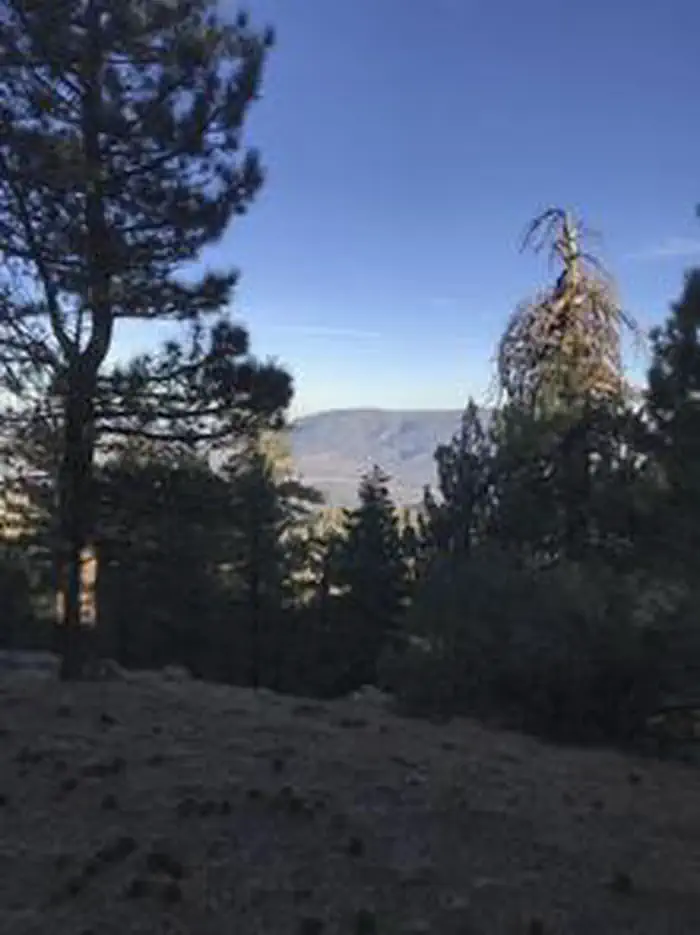
Overview Mount Pinos or in the Native American Chumash language, "Iwihinmu," was considered to be the center of the world, the point where everything was in balance. At 7,800 feet, the campground, bursting with views of mountains and valleys, is an ideal base for several biking and hiking trails. The dark and clear night skies make this a picture-perfect stargazing setting. Recreation Ride your bicycle to the top of Mount Pinos or hike the Mount Pinos Trail, McGill exploration trail, or enjoy the views of the valleys below from your campsite. Mount Pinos is considered to be one of the best star gazing locations in California due to its dark skies, extremely low light pollution and frequently clear skies. It is a favorite place for amateur astronomers. On a clear day, you can see the entire San Joaquin Valley and the surrounding mountain ranges. Facilities This seasonal campground is open daily, May through November. There are 19 single campsites that include picnic tables and fire rings. Fires are allowed only in designated fire rings. RVs over 22 ft. and trailers are not recommended. There are two vault toilets. You should plan to be completely self-sustainable for the duration of your trip. There is no potable water (drinking water) or electricity onsite. There is also no dump station. Natural Features Along with views of the Lockwood Valley and Frazier Mountain, Mt. Pinos Campground is best appreciated by camping enthusiasts who prefer being nestled within the shaded enclave of Jeffery pines that dominate the scenery. Nearby Attractions Hiking trails, biking, fishing and swimming are all within 30 minutes of the campground. Restaurants, gas and shopping are within 15 miles at Pine Mountain Club or 19 miles in Frazier Park. Lake of the Woods and Frazier Park are about 10 miles to the east. Lockwood Valley and Cuddy Valley are located at the base of Mt. Pinos.
From the managing agency.
Is MT. PINOS CAMPGROUND free?
We do not have a fee on record for MT. PINOS CAMPGROUND. Confirm the cost locally before you go.
How do I get to MT. PINOS CAMPGROUND?
MT. PINOS CAMPGROUND is at 34.8137, -119.1022. We do not hold written directions for this one, so navigate to the coordinates.
Nearby
- Mcgill Campground0.1 mi
- Mcgill Group Sites0.1 mi
- MCGILL CAMPGROUND AND GROUP CAMPGROUND0.3 mi
- Mt. Pinos Campground0.5 mi
- Chula Vista1.3 mi
- CAMPO ALTO CAMPGROUND6.0 mi
- CHUCHUPATE CAMPGROUND6.0 mi
- Toad Springs7.9 mi
No other services within 50 mi on the record.
SourceSource data is agency published. Last synced September 19, 2026. Community reports and photos are submitted by travelers and are not verified by the agency.
