
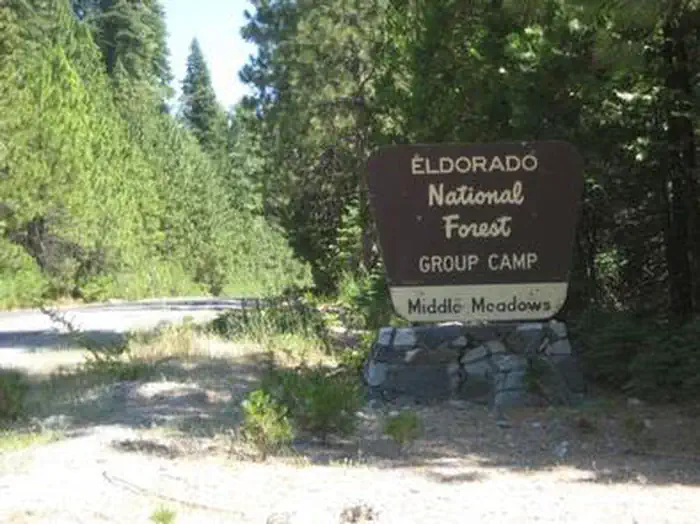
MIDDLE MEADOWS
Campground · Fee not listed
Fast facts
- Cost
- Not listed. Check locally.
- Type
- Campground
- Phone
- 530-333-4312
- Nearest dump station
- French Meadows Rv Dump Station · 6.1 mi
- Nearest water fill
- Indian Creek Camp Ground-Potable Water · 42.2 mi
- Coordinates
- 39.0511, -120.4661
- Last verified
- September 19, 2026

About this place
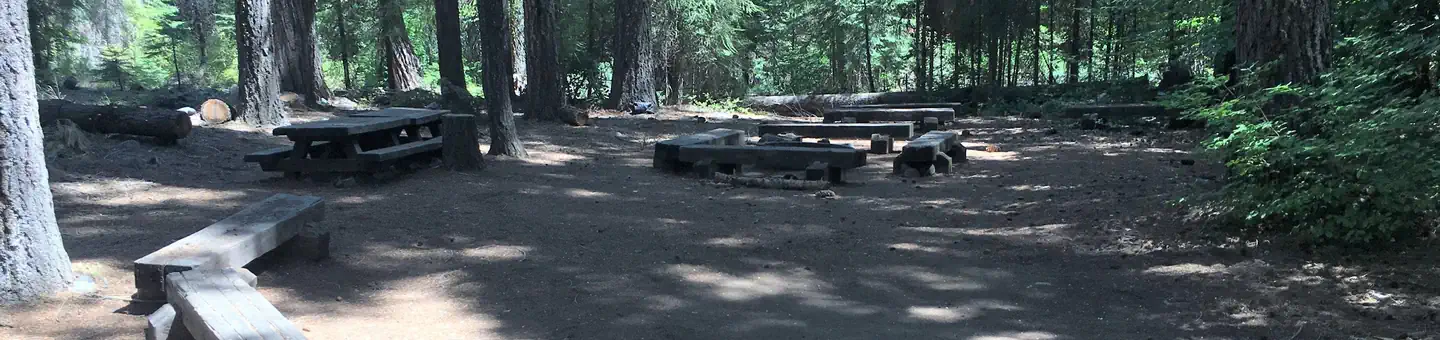
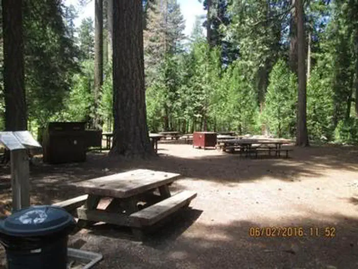
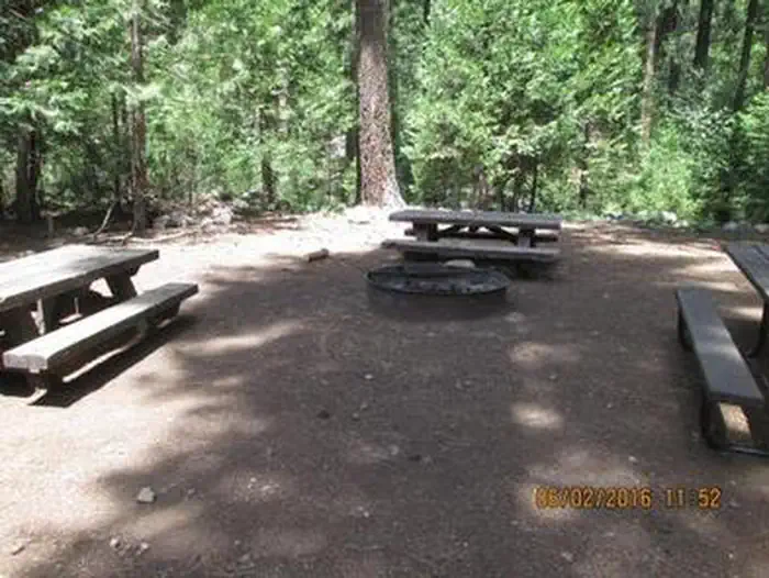
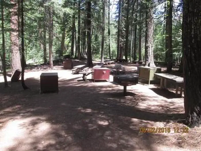
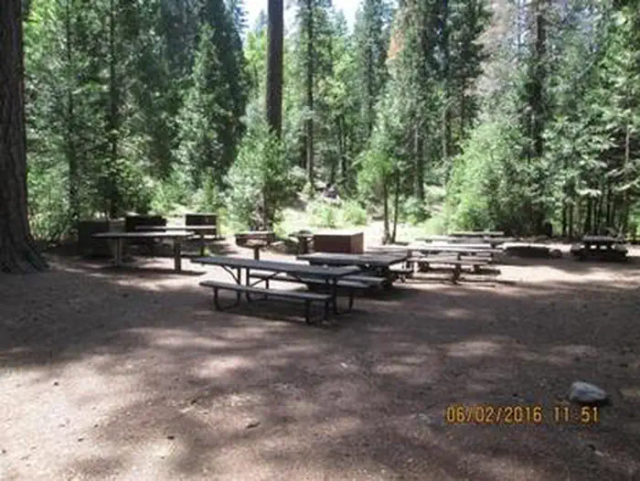
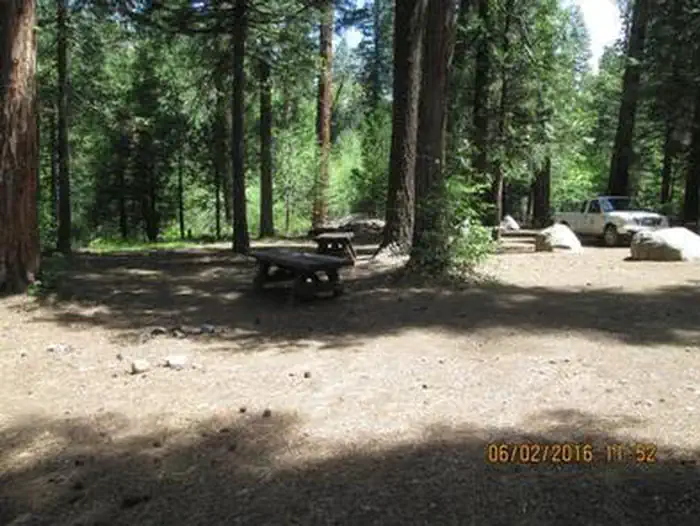
Overview Middle Meadows Campground offers a quiet place to camp, far from the hustle and bustle of city life. The campground is isolated from other campgrounds and offers a variety of recreational activities in its vicinity. Its scenic location also provides for beautiful sightseeing, birding and wildlife viewing. Recreation Campers at Middle Meadows enjoy a forested setting and close access to a flowing creek, making it an ideal spot for family trips. Hell Hole Reservoir, located less than 5 miles from the campground, offers a variety of water-related recreation opportunities, including boating and fishing. There is a swimming hole that is located just west of Middle Meadows Group Campground about 0.25 miles. Facilities The campground offers two group campsites. The sites can accommodate up to 25 and 50 guests respectively. Each site is equipped with tables, campfire circles and grills. Vault and portable toilets are provided. Bear proof food containers and garbage receptacles are provided at each camp site. Currently, potable water is not available due to contamination problems. Please bring drinking water, containers or water filters. Potable water is available from faucets at Big Meadows Campground, which is located 2.5 miles northeast of Middle Meadows Group Campground. Natural Features Middle Meadows is located along the South Fork of Long Canyon Creek with a heavily wooded surrounding. Forests include large cedar, pine and fir trees and shrubs. Although the campground has a primitive, undiscovered feel to it, the serene mountain landscape is well worth the long drive from civilization. Nearby Attractions Middle Meadows is located adjacent to Long Canyon Creek for fishing and wading. Hell Hole Reservoir is a short drive north. A boat ramp is available at the reservoir.
From the managing agency.
Is MIDDLE MEADOWS free?
We do not have a fee on record for MIDDLE MEADOWS. Confirm the cost locally before you go.
How do I get to MIDDLE MEADOWS?
MIDDLE MEADOWS is at 39.0511, -120.4661. We do not hold written directions for this one, so navigate to the coordinates.
Nearby
SourceSource data is agency published. Last synced September 19, 2026. Community reports and photos are submitted by travelers and are not verified by the agency.
