
FRENCH MEADOWS
Campground · Fee not listed
Fast facts
- Cost
- Not listed. Check locally.
- Type
- Campground
- Phone
- 530-367-2224
- Nearest dump station
- French Meadows Rv Dump Station · 1.3 mi
- Nearest water fill
- Indian Creek Camp Ground-Potable Water · 42.6 mi
- Coordinates
- 39.1139, -120.4239
- Last verified
- September 19, 2026

About this place
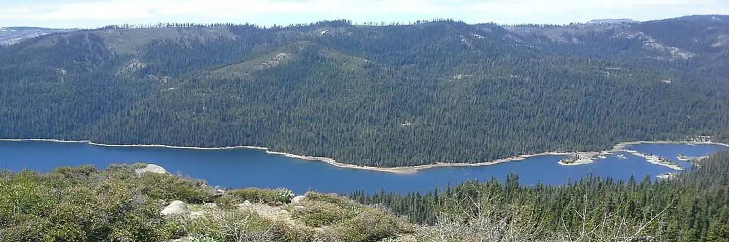
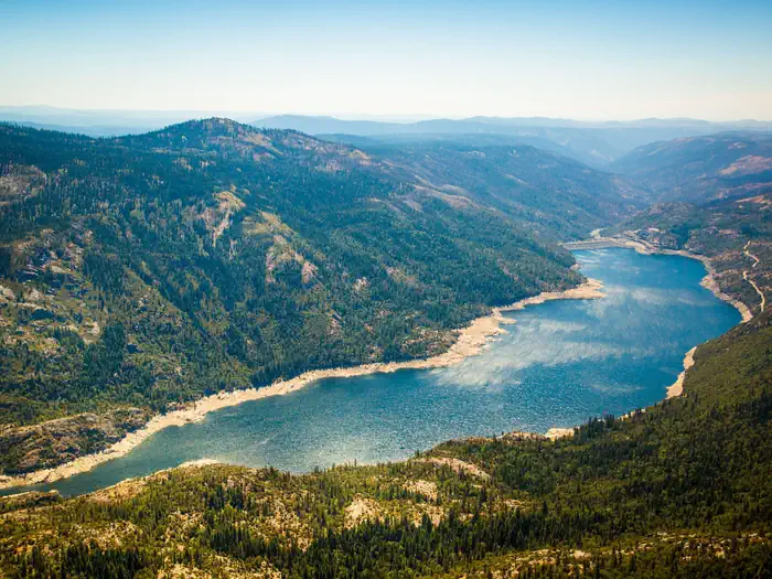
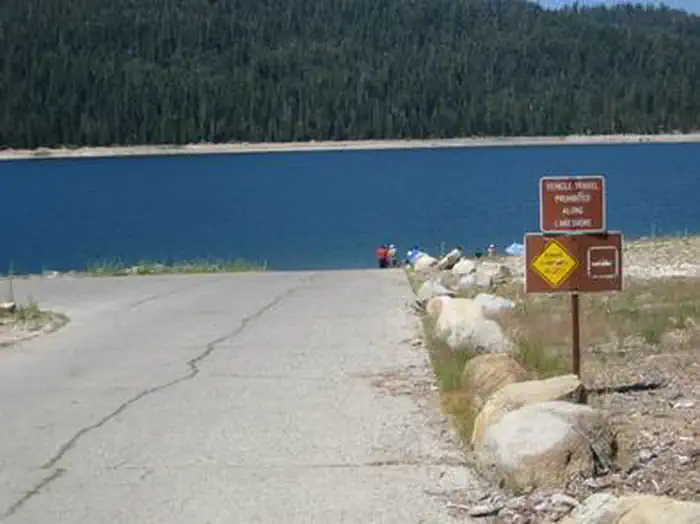
Overview French Meadows Campground is located along the shores French Meadows Reservoir, about 40 miles from the town of Foresthill. Visitors enjoy the area for its fishing, boating and trail opportunities. This facility is operated and maintained by the Tahoe National Forest. Recreation Popular activities on the reservoir include boating, canoeing, fishing and swimming. A boat ramp is located adjacent to the campground. The North Fork American River can be accessed nearby and provides additional opportunities for fishing and swimming. A variety of hiking and biking trails are found in the surrounding area, including some that provide access to the nearby Granite Chief Wilderness and The Western States Trail. Just down the road is the Granite Chief Wilderness which provides amazing hiking opportunities for an adventurous party to explore historic aspen trees and secluded mountain passes and trails. The Western States Trail provides great opporunity for hiking, horse back riding, dirt biking, and for adventurous mountain bikers. Facilities The campground offers single-family campsites, a few of which are wheel chair accessible. Each site is equipped with a picnic table, fire ring and food locker. Flush and vault toilets as well as drinking water are provided. Roads and parking spurs are paved. Several campsites are available on a first-come, first-served basis. Natural Features The campground sits on the southern shore of French Meadows Reservoir, in a pine/fir forest. Summer days can be hot, but evenings are usually cool.
From the managing agency.
Is FRENCH MEADOWS free?
We do not have a fee on record for FRENCH MEADOWS. Confirm the cost locally before you go.
How do I get to FRENCH MEADOWS?
FRENCH MEADOWS is at 39.1139, -120.4239. We do not hold written directions for this one, so navigate to the coordinates.
Nearby
SourceSource data is agency published. Last synced September 19, 2026. Community reports and photos are submitted by travelers and are not verified by the agency.
