
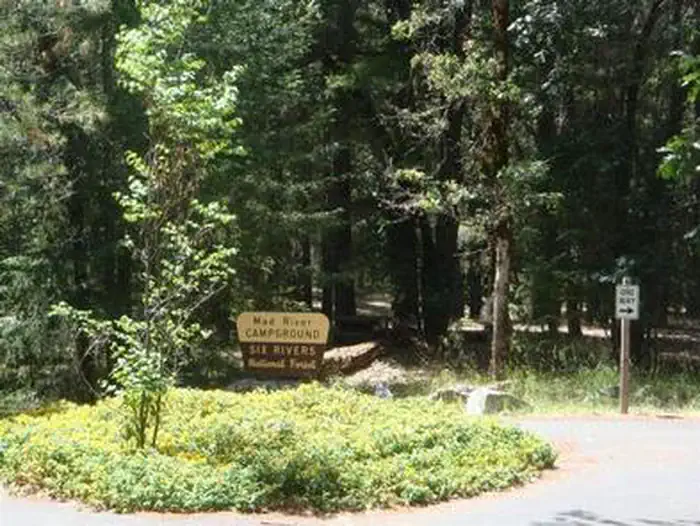
MAD RIVER CAMPGROUND
USFS · Campground · Fee
Fast facts
- Cost
- Fee charged
- Managed by
- USFS
- Type
- Campground
- Reservations
- recreation.gov
- Phone
- 707-574-6233
- Coordinates
- 40.4036, -123.4672
- Last verified
- September 19, 2026

About this place
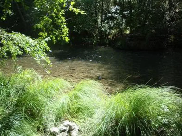
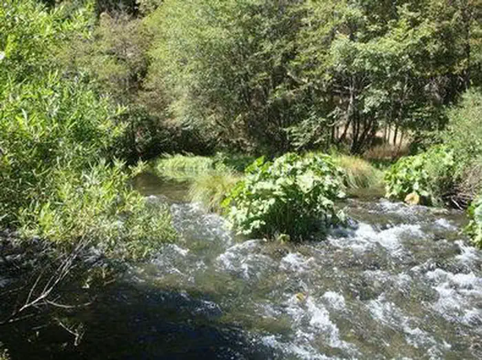
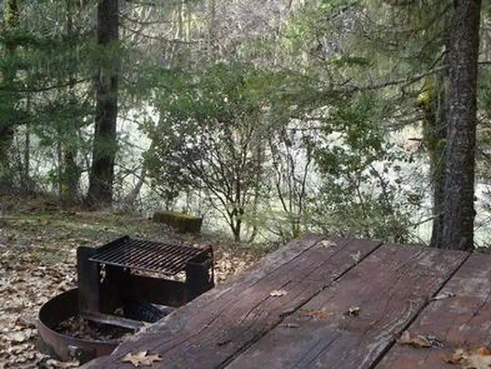
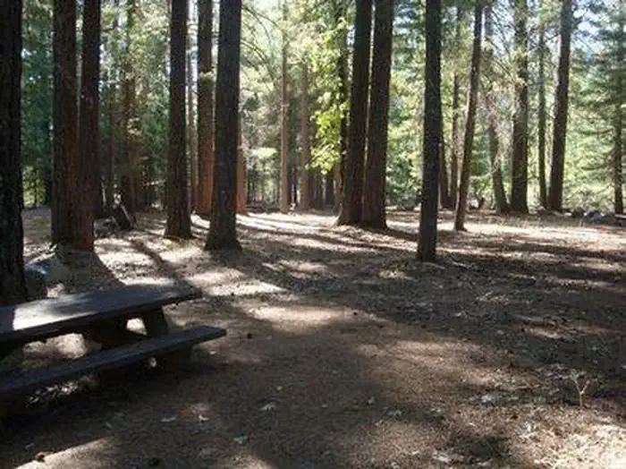
Overview Mad River Campground is located on banks of its namesake river, about two miles south of Ruth Lake in the thickly forested mountains of northern California. Recreation Fishing is a popular activity and anglers can expect to catch a variety of trout in the Mad River. Nearby Ruth Lake is open for boating, swimming and other water-related activities. A marina and boat ramp are available for easy lake access, and maps and directions to the marina are located on the information boards in the campground. Facilities The campground offers multiple single-family campsites, available for tent and RV camping. Some sites are available on a first-come, first-served basis. A majority of the sites are adjacent to the Mad River. Tables and campfire rings are available at each site. Accessible vault toilets and drinking water are also provided. Natural Features The campground is situated on a bluff overlooking the river among a forested area of oak trees and evergreen shrubs. Portions of the campground are capped with tall Douglas fir trees, providing ample shade. The Six Rivers National Forest lies east of Eureka in northwestern California, stretching southward from the Oregon border for about 140 miles. U.S. 101, the famed "Redwood Highway," parallels the inland Forest along the coastline. The Forest is just east of the Redwood National Park. Nearby Attractions The 13,800-acre Ruth Lake is about three miles south of the campground.
From the USFS.Official page
Is MAD RIVER CAMPGROUND free?
No. MAD RIVER CAMPGROUND charges a fee. It is managed by the USFS. Sites are reservable through recreation.gov.
How do I get to MAD RIVER CAMPGROUND?
MAD RIVER CAMPGROUND is at 40.4036, -123.4672. We do not hold written directions for this one, so navigate to the coordinates.
Nearby
- FIR COVE CAMPGROUND5.3 mi
- Bailey Canyon5.6 mi
- Bailey Canyon Campground5.6 mi
- Forest Glen Campground7.6 mi
- FOREST GLEN GUARD STATION8.3 mi
- Hell Gate Campground8.4 mi
- Scott Flat Campground8.7 mi
- Indian Valley Camp11.3 mi
No other services within 50 mi on the record.
SourceData from the USFS. Last synced September 19, 2026. Community reports and photos are submitted by travelers and are not verified by the agency.
