
FIR COVE CAMPGROUND
USFS · Campground · Fee
Fast facts
- Cost
- Fee charged
- Managed by
- USFS
- Type
- Campground
- Reservations
- recreation.gov
- Phone
- 707-574-6233
- Coordinates
- 40.3442, -123.4031
- Last verified
- September 19, 2026
About this place
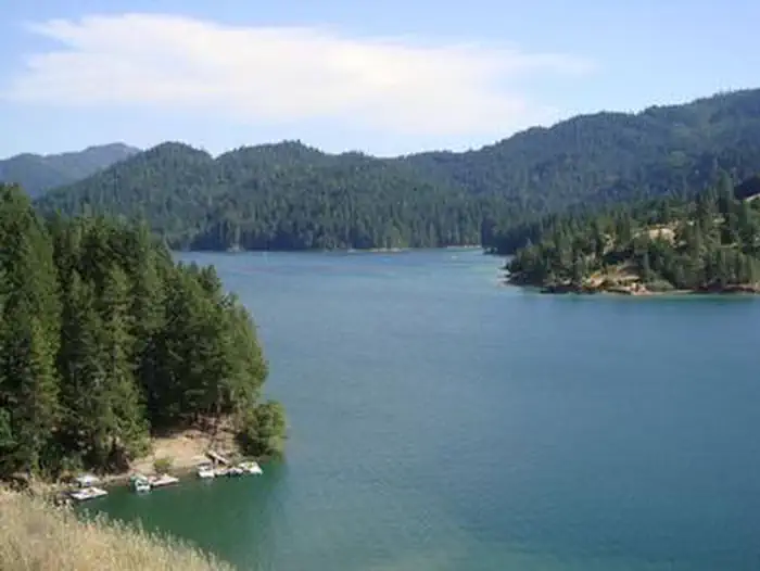
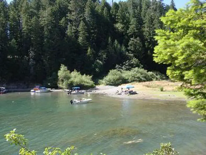
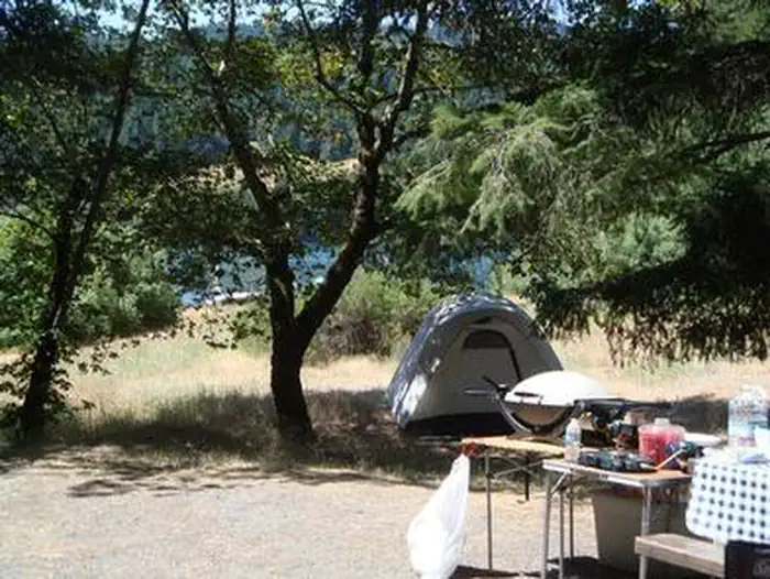
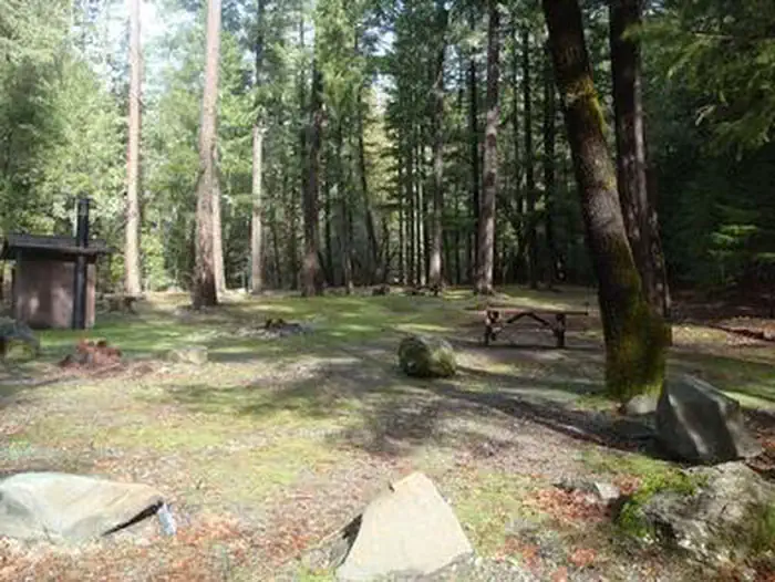
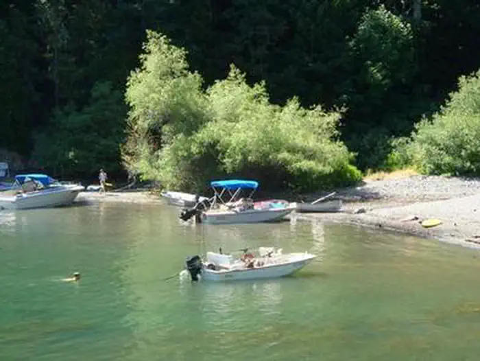
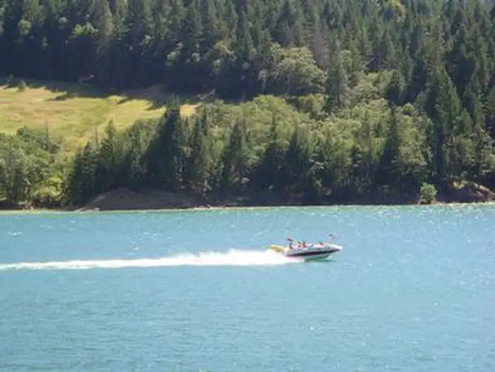
Overview Fir Cove Campground is located on beautiful eastern shore of Ruth Lake, a 13,800-acre jewel situated in the thickly forested mountains of northern California. A variety of recreational opportunities abound. Fir Cove is one of three Forest Service campgrounds in the area, and one of two on the lake. Bailey Canyon Campground is the companion to Fir Cove. It is located east of Fir Cove and is first-come, first-serve. Recreation The lake provides boating, water skiing, fishing and countless other recreation opportunities. Anglers can enjoy a catch of small and largemouth bass, catfish, rainbow trout, Kokonee salmon, bluegill and crappie. Forested peaks and valleys offer ample opportunities for hunting, hiking and off-road vehicle use. The Bailey Vista and Lakeview Trailheads start from Fir Cove, and the Picket Peak Trailhead starts from Bailey Canyon. Facilities The campground offers several tent-only and multiple combined sites, many of them overlooking the lake. All sites are within a short walk from Ruth Lake. Sites 11 and 12 are companion sites. Tables and campfire rings with grills are provided, as well as accessible vault toilets and drinking water. Natural Features The campground straddles a seasonal creek that empties into Ruth Lake. It is nestled in a mixture of mature Douglas fir, oak, pine and cedar trees at an elevation of about 2,700 feet. The Six Rivers National Forest lies east of Eureka in northwestern California, stretching southward from the Oregon border for about 140 miles. U.S. 101, the famed "Redwood Highway," parallels the inland Forest along the coastline. The Forest is just east of the Redwood National Park.
From the USFS.Official page
Is FIR COVE CAMPGROUND free?
No. FIR COVE CAMPGROUND charges a fee. It is managed by the USFS. Sites are reservable through recreation.gov.
How do I get to FIR COVE CAMPGROUND?
FIR COVE CAMPGROUND is at 40.3442, -123.4031. We do not hold written directions for this one, so navigate to the coordinates.
Nearby
- Bailey Canyon0.3 mi
- Bailey Canyon Campground0.3 mi
- Forest Glen Campground4.5 mi
- FOREST GLEN GUARD STATION4.8 mi
- Hell Gate Campground5.1 mi
- Scott Flat Campground5.2 mi
- MAD RIVER CAMPGROUND5.3 mi
- Indian Valley Camp12.6 mi
No other services within 50 mi on the record.
SourceData from the USFS. Last synced September 19, 2026. Community reports and photos are submitted by travelers and are not verified by the agency.
