
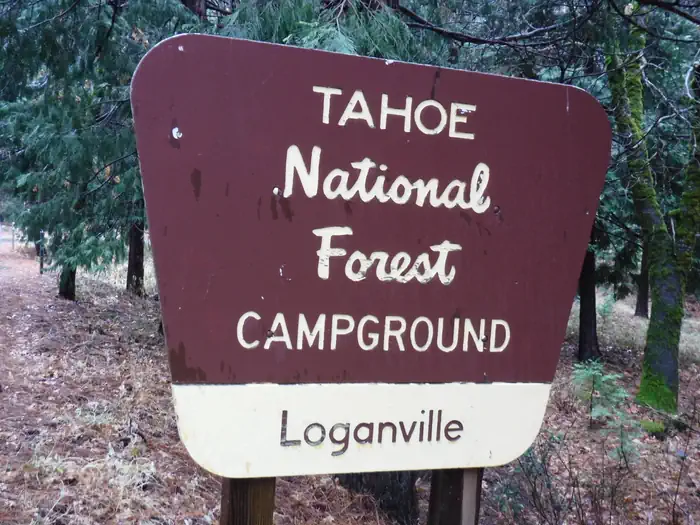
LOGANVILLE
USFS · Campground · Free
Fast facts
- Cost
- Free
- Managed by
- USFS
- Type
- Campground
- Phone
- (530)478-6253
- Nearest dump station
- Jackson Meadows Rv Dump Station · 7.9 mi
- Nearest water fill
- Indian Creek Camp Ground-Potable Water · 73.3 mi
- Coordinates
- 39.5647, -120.6611
- Last verified
- September 19, 2026
About this place
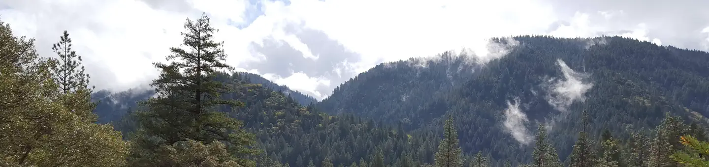
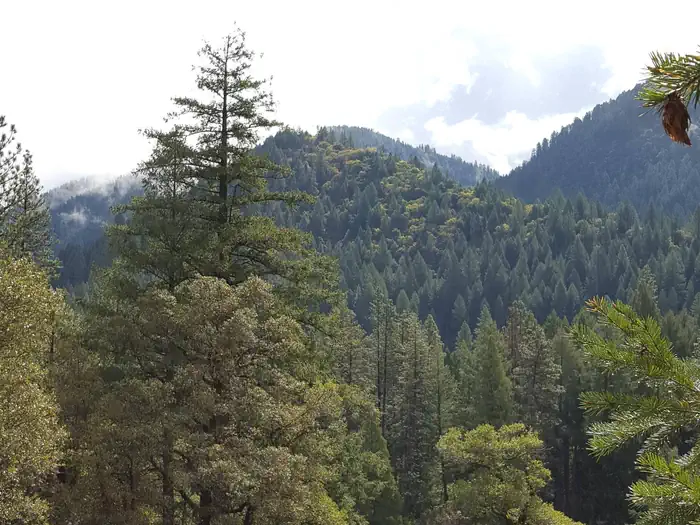
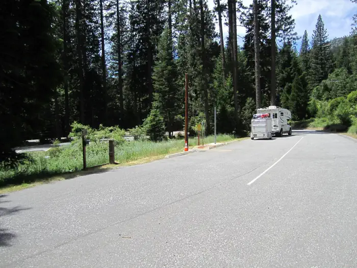
Overview Loganville Campground is located along the North Yuba River, off of Highway 49 about 1.5 miles west of Sierra City. Visitors enjoy a wide variety of recreational activities in the area, including hiking, hunting, fishing, biking, swimming and gold panning. Recreation Nearby activities include fishing, hiking, white water boating, mountain bike and motorcycle trails, and seasonal hunting. The scenic and historic town of Sierra City is a short drive from the campground where a variety of lodging and dining options are available as well as a grocery store and some boutique stores. Facilities The campground offers several single-family sites, all of which are designated for tent camping only. Each site has a picnic table and campfire ring. Vault toilets and drinking water are provided. Natural Features The campground has two loops situated in a scenic, dense forest of oak, pine, and fir trees, which provide ample shade. One section of the campground meanders up a hillside, while the other lies on level ground. Contact Info This location is unstaffed. To speak with our main office for general information, please call: (530) 265-4531. Nearby Attractions Gold Lakes Basin offers boating, fishing, biking, and hiking. Boating, fishing and swimming are available at nearby Sardine Lakes, about nine miles east of the campground. Sardine Lakes Resort offers boat rentals. Over 30 miles of maintained trails for hiking, mountain biking, and motorcycle singletrack branch out across the area and the Pacific Crest Trail can be accessed at a few spots east of Sierra City and in the Gold Lakes Basin area. The historic towns of Sierra City and Downieville offer historic and cultural attractions, restaurants, shops, churches, and vistor information. On the water, visitors enjoy boating and fishing. Anglers will find rainbow and brook trout in many of the lakes, streams, and rivers throughout the basin. Charges & Cancellations No Show Policy A no-show customer is one who does not arrive at a campground and does not cancel the reservation by check-out time on the day after the scheduled arrival date (or for day-use facilities, by check-in time the day of arrival). * No-show customers are only recorded at staffed facilities. At most remote facilities, all customers are noted as automatically checked-in on the date of arrival. * It is recommended that staffed facilities hold a campsite until check-out time on the day following the arrival date. * It is recommended that staffed facilities hold group day-use facilities until check-in time on the arrival date. There is no change fee if a customer extends or shortens a reservation if the change includes dates from the original reservation. If they choose to depart early, they may forfeit some or all of the recreation fees. There is no change fee if the customer changes campsites that are the same price and on the same reservation dates in the same campground. If the campsite the customer is changing to has a price difference, the customer will be responsible for any additional fees or be provided with a refund, based on the price difference. Where recorded, no-show customers are assessed a $20.00 no-show fee and forfeit the first night's recreation fee for a campsite or forfeit the entire day-use recreation fee for a day-use facility. We recommend customers contact the facility if they are en route to their reservation but cannot make it by the check-in date. In these cases, no refund will be issued, but the facility can ensure that a "no-show" fee is not assessed.
From the USFS.
Is LOGANVILLE free?
Yes. LOGANVILLE is free to use. It is managed by the USFS.
How do I get to LOGANVILLE?
LOGANVILLE is at 39.5647, -120.6611. We do not hold written directions for this one, so navigate to the coordinates.
Nearby
SourceData from the USFS. Last synced September 19, 2026. Community reports and photos are submitted by travelers and are not verified by the agency.
