
LITTLE MT. HOFFMAN LOOKOUT
Campground · Fee not listed
Fast facts
- Cost
- Not listed. Check locally.
- Type
- Campground
- Phone
- 530-964-2184
- Nearest dump station
- Medicine Lake Dump Station · 4.1 mi
- Coordinates
- 41.5786, -121.6597
- Last verified
- September 19, 2026
About this place
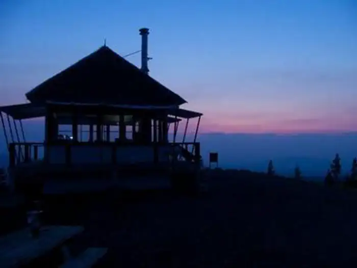
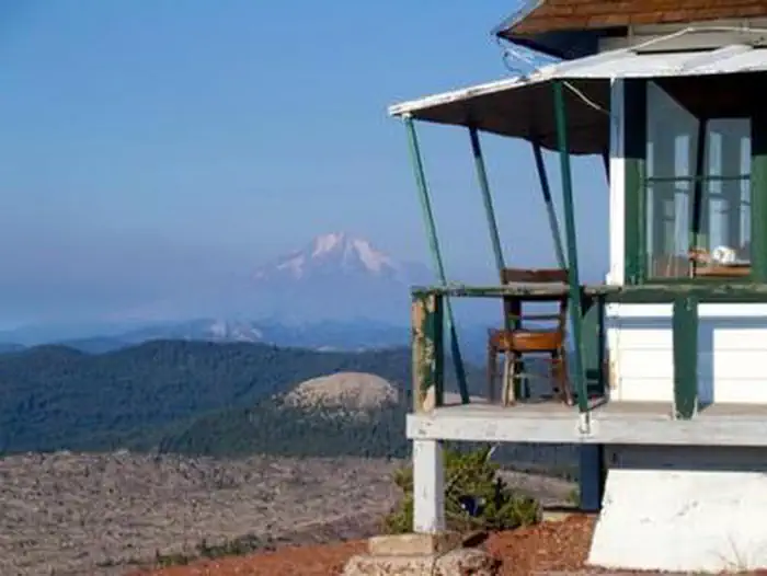
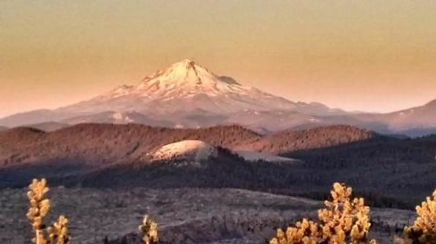
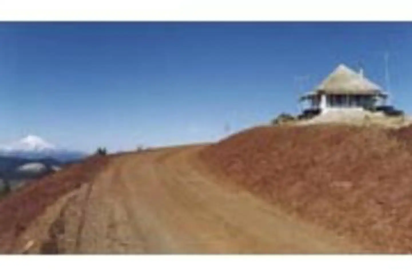
Overview Little Mt. Hoffman Lookout was constructed in the 1920s and was used by the Forest Service on a regular basis until 1978. It is one of the few remaining historic lookouts in the Shasta-Trinity National Forest and is eligible for listing on the National Register of Historic Places. The lookout is still used by the Forest Service in times of extreme fire danger. The lookout is accessible by car, but the last 4 miles are on unpaved roads and difficult for RVs and cars with trailers to navigate. Visitors must bring many of their own supplies. The accommodations of this lookout may be rustic, but the views guarantee that visitors will have a memorable stay. Recreation Little Mt. Hoffman Lookout is an ideal location for sightseeing and bird watching, and it's a photographer's dream. Visitors in search of more active pursuits can drive a short distance to hike and explore the many nearby hills, clearings and caves. Medicine Lake has a day use area with a large swim beach and a boat dock. Facilities The lookout is a 14x14 wooden cabin that sits on the ground. Front steps lead up to the entrance and a wooden deck surrounds it. It's equipped with a wood stove, two cots, a shovel, a bucket, storage cabinets, dining table, cleaning gear and a fire extinguisher. A barbecue pit and picnic table are located outside. A vault toilet is housed in a separate building. This facility houses a maximum of four people. The lookout has no cooking facilities, water, bedding or electricity. Visitors must bring their own water supply and garbage bags to pack out their trash. Recommended supplies include food, toilet paper, linens and blankets, firewood, cooking utensils, extra batteries and a flashlight or lantern. Visitors should also remember to bring the reservation confirmation and the lock combination. The use of portable stoves using gas, jellied petroleum or pressurized liquid fuel is allowed with a valid California campfire permit (click here for more details on Little Mt. Hoffman Lookout). Natural Features Little Mt. Hoffman is a cinder cone on the flanks of Medicine Lake Highland, the largest identified volcano within California, which extends roughly 15 miles east to west and 25 miles north to south. Medicine Lake Highland has a caldera that is partially filled by Medicine Lake. Little Mt. Hoffman sits on the rim of this caldera at 7,309 feet, providing a panoramic view of this diverse volcanic landscape. Visitors can see a spectacular view of Mt. Shasta, Mt. Lassen and southern Oregon's Mt. McLoughlin. The panorama includes the Tulelake Basin to the north, the Fall River Valley in the east and the Medicine Lake Highlands to the south. Charges & Cancellations A $10.00 service fee will apply if you change or cancel your reservation. Late cancellations are subject to additional fees. For full details see NRRS Reservation Policy .
From the managing agency.
Is LITTLE MT. HOFFMAN LOOKOUT free?
We do not have a fee on record for LITTLE MT. HOFFMAN LOOKOUT. Confirm the cost locally before you go.
How do I get to LITTLE MT. HOFFMAN LOOKOUT?
LITTLE MT. HOFFMAN LOOKOUT is at 41.5786, -121.6597. We do not hold written directions for this one, so navigate to the coordinates.
Nearby
SourceSource data is agency published. Last synced September 19, 2026. Community reports and photos are submitted by travelers and are not verified by the agency.
