
Group Campsite
Campground · Fee
Fast facts
- Cost
- $60.00
- Type
- Campground
- Sites
- 1 total · 1 reservable · 0 first come
- Reservations
- recreation.gov
- Nearest dump station
- Medicine Lake Dump Station · 9.9 mi
- Coordinates
- 41.7175, -121.5041
- Last verified
- September 18, 2026
About this place
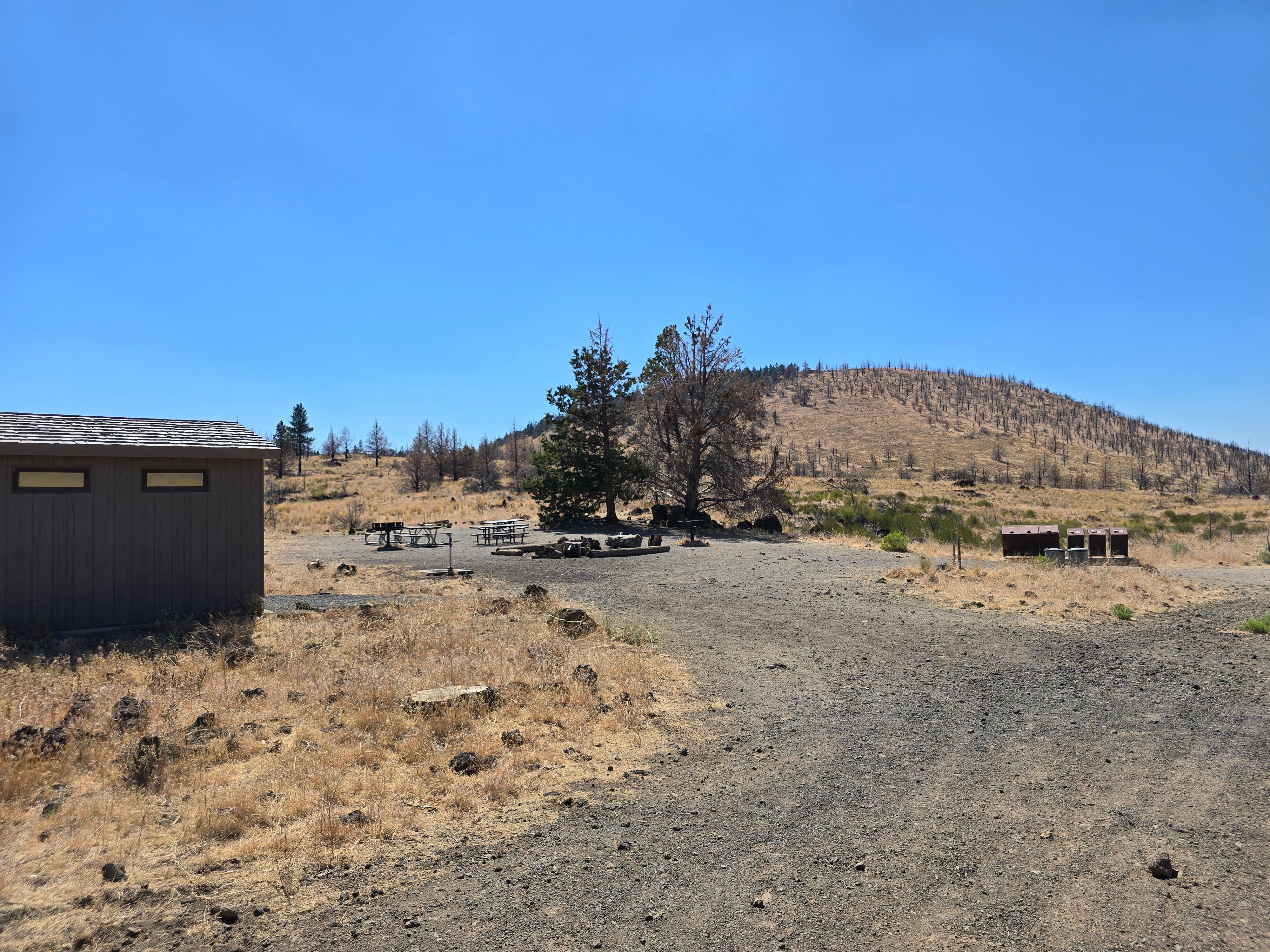
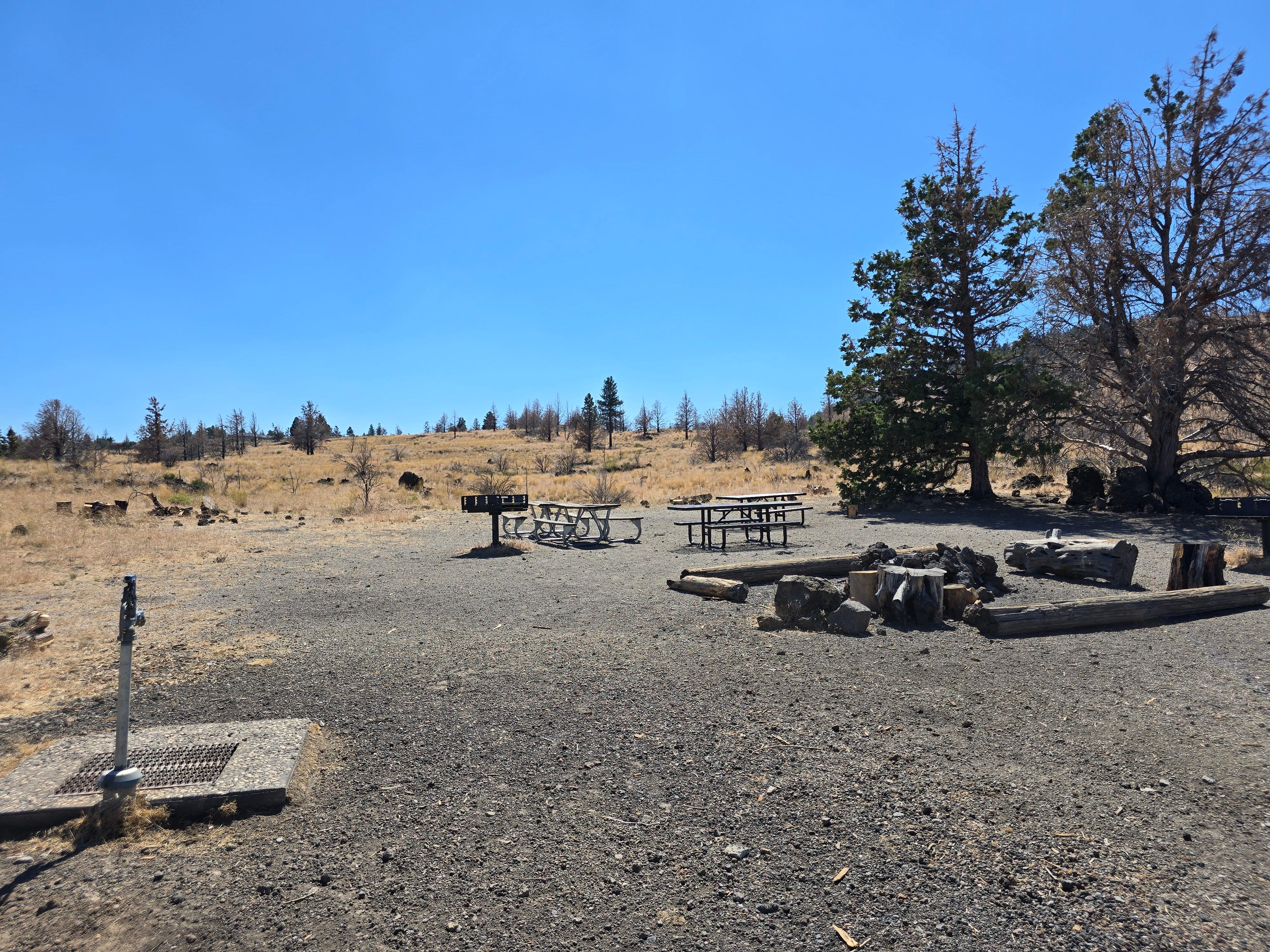
The Group Campsite is in the B-Loop of the Indian Well Campground. The group site is only for groups with a minimum of 15 and a maximum of 40 campers. The group campsite includes picnic tables, grills, two pit toilets, a group fire ring, water spigot and a large cooking grill. Group site is open April 1st - October 31st. It can be reserved up to 6 months in advanced.
From the managing agency.Official page
Is Group Campsite free?
No. Group Campsite charges $60.00. 1 of its sites are reservable through recreation.gov.
Can I bring an RV to Group Campsite?
Group Campsite has 1 sites on record. 1 sites are reservable and 0 are first come.
How do I get to Group Campsite?
The Group Campsite is located off of B Loop in the Indian Well Campground. The campground is located 1/2 mile (0.8 km) from the Visitor Center and cave loop.
What is the weather like at Group Campsite?
Park elevations range from 4,000 to 5,700 feet. Cold weather is possible any time of year, and snow has been recorded in all months. Winter daytime highs average 40°F; lows average 20°F. Morning fog is frequent from autumn through spring. Summer daytime highs average 75° to 80°F; lows average 50°F. Occasional thunderstorms occur in summer.
What are the rules at Group Campsite?
One group site is available for a minimum of 15 campers, and a maximum of 40. Group Site is Reservation Only. The site is gated and locked. Lock code will be provided after reservation is made. Only 2 vehicles are allowed to park behind the gate at the group campsite. RV's and campers are prohibited. All other vehicles must be parked in the "A" loop overflow parking area, near the bathrooms, or at the Visitors Center. All other camping regulations are listed below.
Nearby
SourceSource data is agency published. Last synced September 18, 2026. Community reports and photos are submitted by travelers and are not verified by the agency.
