
Juanita Lake Campground
USFS · Campground · Fee
Fast facts
- Cost
- Fee charged
- Managed by
- USFS
- Type
- Campground
- Hours
- Open 24 hours/day
- Reservations
- recreation.gov
- Phone
- (530) 398-4391
- Nearest dump station
- Medicine Lake Dump Station · 32.3 mi
- Coordinates
- 41.8174, -122.1242
- Last verified
- September 19, 2026
About this place
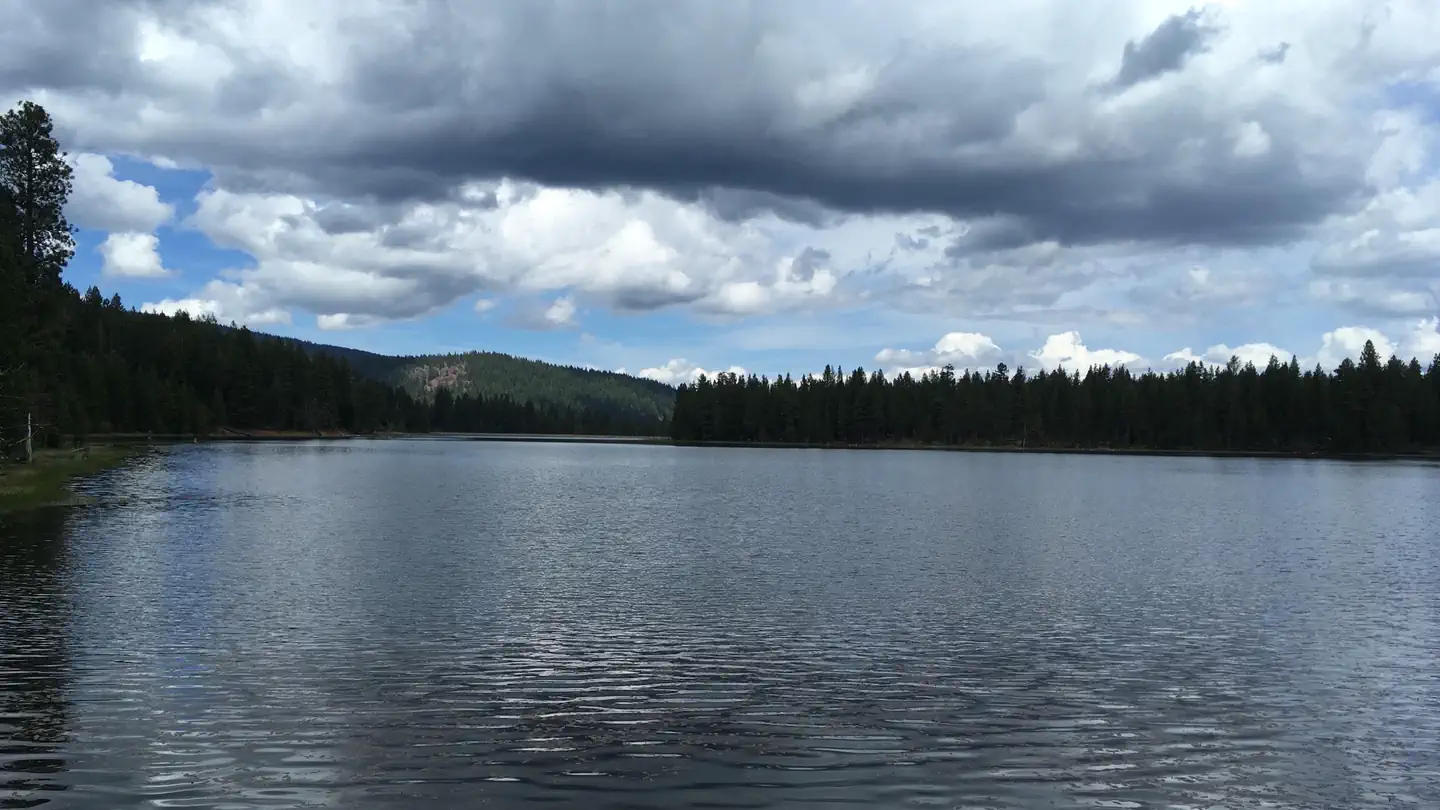
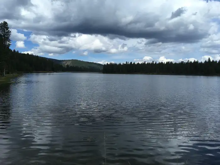
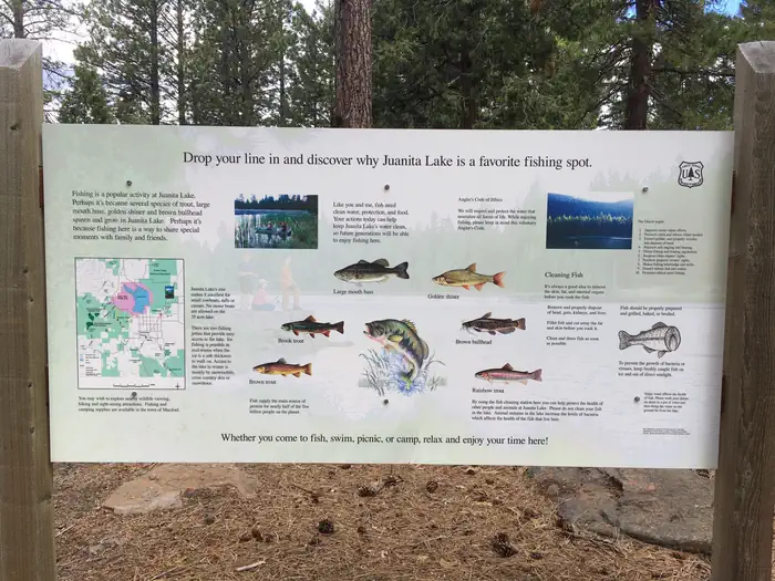
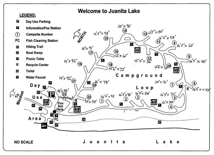
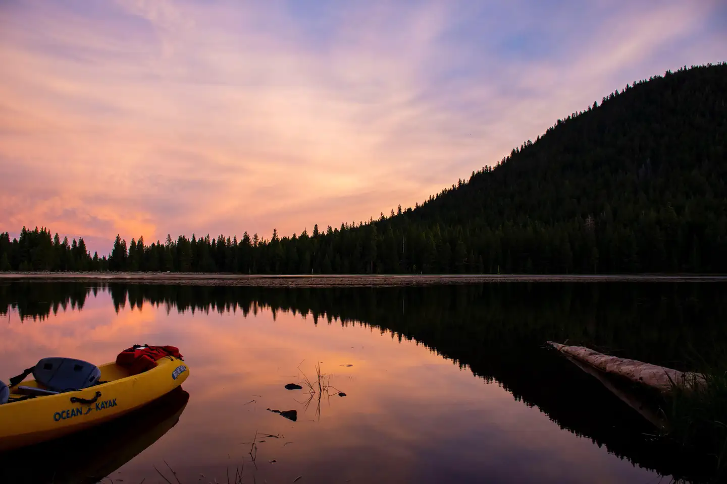
Overview Juanita Lake campground offers 23 campsites adjacent to Juanita Lake on the Klamath National Forest. The lake offers a unique combination of recreation opportunities including many water-based activities like fishing and swimming. Site map located in photo stream above. Currently, there is non-potable water available for use. Recreation The 55 acre Juanita Lake is excellent for small rowboats, rafts, and canoes. There is a paved boat launch ramp, a dock in the summer, and fish cleaning station. No motors are permitted on the lake. The lake is regularly stocked with trout and has a bass and catfish population. Those wanting to explore will enjoy the 1.5 mile paved, barrier free trail that circles the lake with two fishing jetties for easy lake access. For the more ambitious hiker, there is a 6 mile hike with a 2,700 foot elevation gain climbing up to Ball Mountain Lookout. Visitors interested in cooling off will delight in a swim or simply wading and water-play from the shoreline. Facilities The main campground offers 23 campsites with parking areas, picnic tables, campfire rings, grills, bear-proof trash cans, and vault toilets. All camp/tent areas have views of the lake. Two vehicles allowed per campsite including trailers. Natural Features The partially shaded campground sits at an altitude of 5,130 feet and is located on the shores of Juanita Lake surrounded by a ponderosa pine forest. The lake is a favorite bird watching area with bald eagles and osprey regularly fishing the lake. Sit among the pines and fish or watch a diverse array of wildlife that uses the area. Nearby Attractions The Butte Valley Wildlife Area is within four miles.
From the USFS.Official page
Is Juanita Lake Campground free?
No. Juanita Lake Campground charges a fee. It is managed by the USFS. Sites are reservable through recreation.gov.
How do I get to Juanita Lake Campground?
From I-5 at Weed, CA travel northeast on State Hwy 97 approx. 35 miles Ball Mtn Road. Turn west (left) on Ball Mtn Road approx. 4 miles to Forest Service Road 46N04. Turn right on 46N04 and continue to Juanita Lake and Campground.
Nearby
SourceData from the USFS. Last synced September 19, 2026. Community reports and photos are submitted by travelers and are not verified by the agency.
