
JACKASS MEADOW
Campground · Fee not listed
Fast facts
- Cost
- Not listed. Check locally.
- Type
- Campground
- Phone
- 559-893-2111
- Coordinates
- 37.2792, -118.9657
- Last verified
- September 19, 2026
About this place
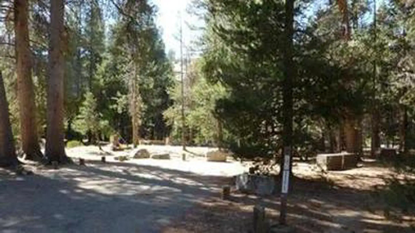
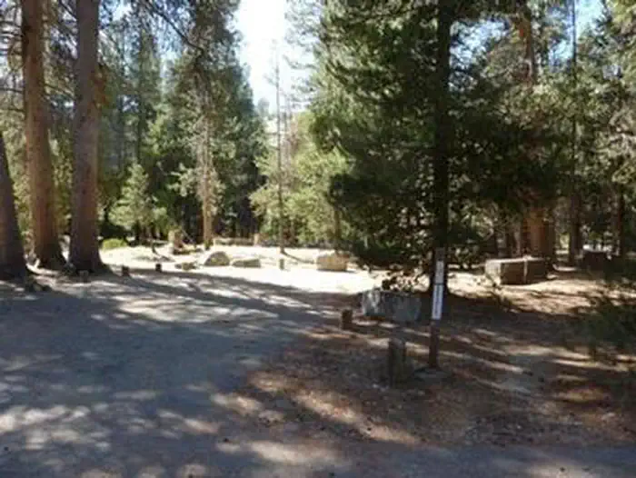
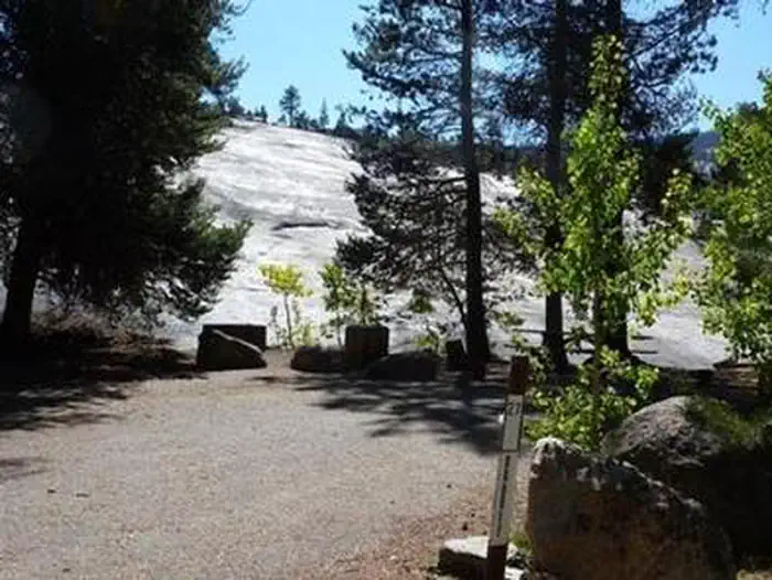
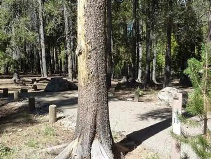
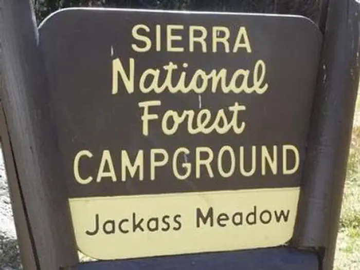
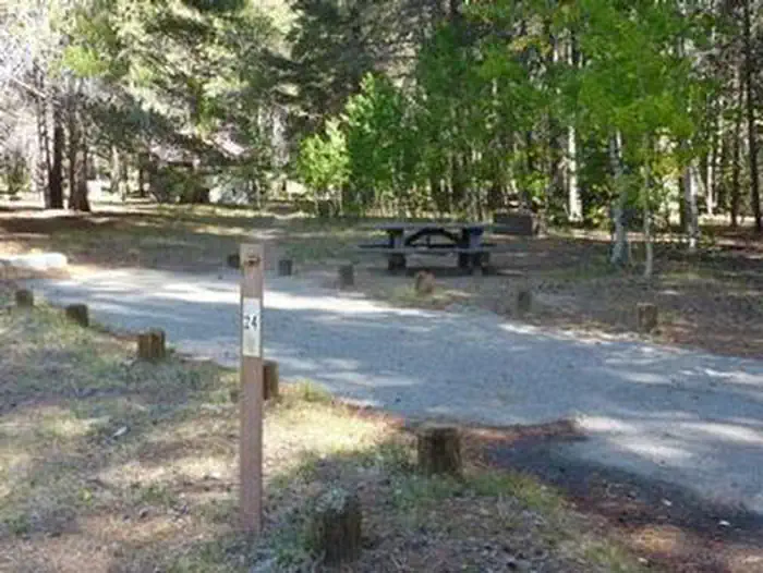
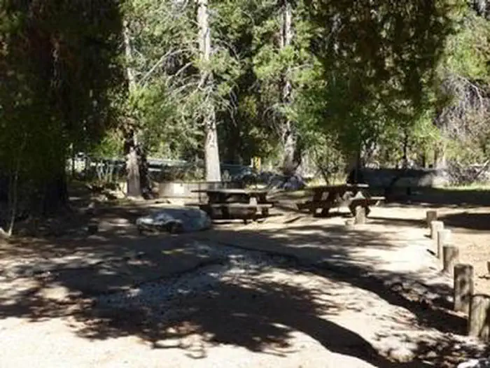
Overview Jackass Meadow Campground is situated below Florence Lake on the San Joaquin River, surrounded by the craggy peaks of the John Muir Wilderness. Jackass Meadow is shaded by a stand of Aspen and Lodgepole Pine, and the South Fork of the San Joaquin runs through the campground. This camp is located near several Native American archaeological sites. Recreation There is a .7 mile accessible hiking trail near the campground. Nature walks are held every Saturday during the summer. Most of the recreation opportunities here can be found in and around Florence Lake. There is a boat ramp and boat rentals at the Florence Lake Store. Facilities Each campsite has a table, fire ring and grill. Bear-proof food lockers, water and accessible vault toilets are provided. Supplies and groceries can be purchased half a mile from the campground at the Florence Lake Store. Natural Features The Sierra National Forest, located on the western slope of the central Sierra Nevada, is known for its spectacular mountain scenery and abundant natural resources. The terrain includes rolling, oak-covered foothills, heavily forested middle elevation slopes and the starkly beautiful alpine landscape of the High Sierra. The John Muir Wilderness stretches for 100 miles along the crest of the Sierra. It is a land of lofty snow-capped mountains, deep canyons and vast expanses of glacially carved terrain. Contact Info For facility specific information, please call (909) 638-6117. Nearby Attractions A popular activity is to take a ferry from Florence Lake to the John Muir Trail, which is part of the Pacific Crest Trail, which stretches from Mexico to Canada. Ferry tickets can be purchased at the Florence Lake Store.
From the managing agency.
Is JACKASS MEADOW free?
We do not have a fee on record for JACKASS MEADOW. Confirm the cost locally before you go.
How do I get to JACKASS MEADOW?
JACKASS MEADOW is at 37.2792, -118.9657. We do not hold written directions for this one, so navigate to the coordinates.
Nearby
- Jackass Meadow Campground1.2 mi
- Ward Lake Campground1.9 mi
- Mono Hot Springs Campground4.3 mi
- MONO HOT SPRINGS4.4 mi
- Bolsillo Campground4.8 mi
- MONO CREEK5.5 mi
- Mono Creek Campground5.5 mi
- Portal Forebay Campground6.3 mi
No other services within 50 mi on the record.
SourceSource data is agency published. Last synced September 19, 2026. Community reports and photos are submitted by travelers and are not verified by the agency.
