
MONO CREEK
Campground · Fee not listed
Fast facts
- Cost
- Not listed. Check locally.
- Type
- Campground
- Phone
- 559-893-2111
- Coordinates
- 37.3554, -118.9968
- Last verified
- September 19, 2026
About this place
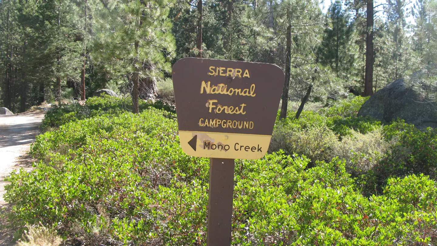
Overview Mono Creek Campground is located in the High Sierras above Kaiser Pass. This quiet, remote campground is situated in a peaceful meadow near Mono Hot Springs at an elevation of 7,500 feet. Visitors enjoy hiking, fishing, boating and horseback riding. Recreation Most recreational activities are centered around nearby Edison Lake and Mono Hot Springs. Interpretive programs, hiking, trout fishing, boating and horseback riding are popular pastimes. Hot mineral baths can be enjoyed at Mono Hot Springs. Facilities Each campsite has a picnic table, grill and bear-proof food storage locker. No water source is available on-site, but potable water is available at the High Sierra Ranger Station. Accessible vault toilets are provided. Natural Features Campsites are spacious, private and shaded by mature Ponderosa pines within the Sierra National Forest on the western slope of the central Sierra Nevada. The forest is known for its spectacular mountain scenery and abundant natural resources. The terrain includes rolling, oak-covered foothills, heavily forested middle elevation slopes and the starkly beautiful alpine landscape of the High Sierra. Contact Info For facility specific information, please call (559) 893-2308. Nearby Attractions The Mono Creek Trail, which can be accessed at Edison Lake, leads hikers and horseback riders to the network of trails within the John Muir Wilderness. This includes the scenic Pacific Crest Trail, which spans from Mexico to Canada. Charges & Cancellations Once your reservation start date has begun, neither the Recreation.gov Contact Center nor the campground manager will be able to modify your reservation.
From the managing agency.
Is MONO CREEK free?
We do not have a fee on record for MONO CREEK. Confirm the cost locally before you go.
How do I get to MONO CREEK?
MONO CREEK is at 37.3554, -118.9968. We do not hold written directions for this one, so navigate to the coordinates.
Nearby
- Mono Creek Campground0.0 mi
- VERMILLION1.8 mi
- Vermillion Campground1.8 mi
- Mono Hot Springs Campground2.3 mi
- MONO HOT SPRINGS2.3 mi
- Bolsillo Campground3.7 mi
- Ward Lake Campground3.8 mi
- Jackass Meadow Campground4.4 mi
No other services within 50 mi on the record.
SourceSource data is agency published. Last synced September 19, 2026. Community reports and photos are submitted by travelers and are not verified by the agency.
