
DIMOND O
Campground · Fee not listed
Fast facts
- Cost
- Not listed. Check locally.
- Type
- Campground
- Phone
- 209-379-2258
- Nearest dump station
- Indian Creek Camp Ground-Trailer Dump Site · 63.3 mi
- Nearest water fill
- Indian Creek Camp Ground-Potable Water · 63.7 mi
- Coordinates
- 37.8250, -119.8611
- Last verified
- September 19, 2026
About this place
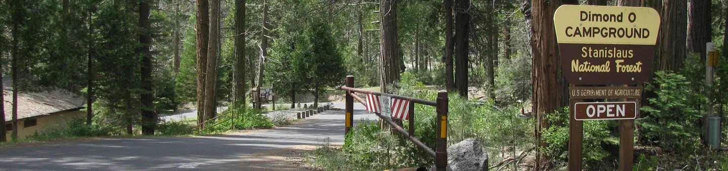
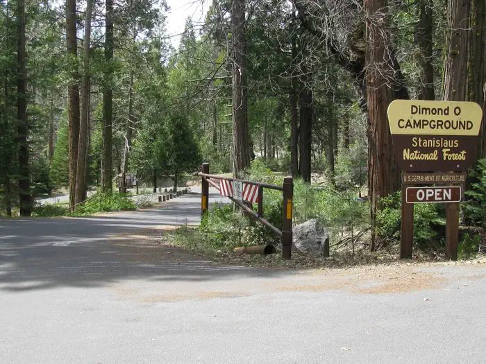
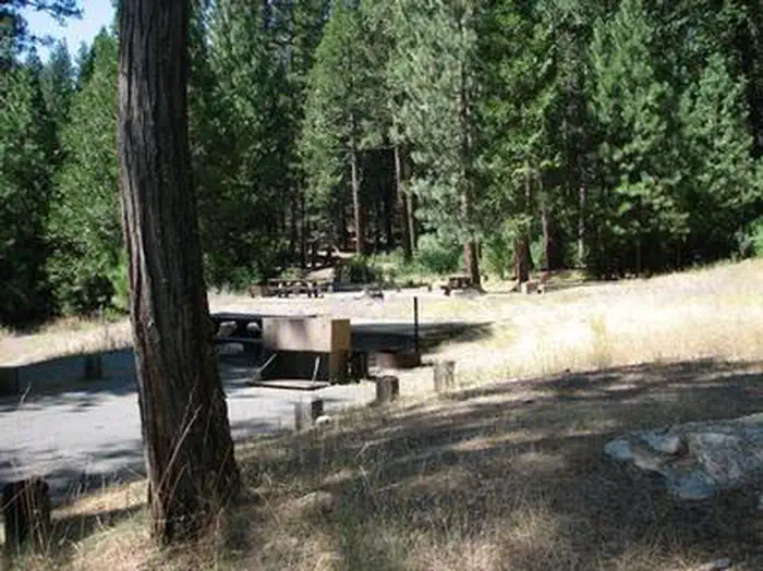
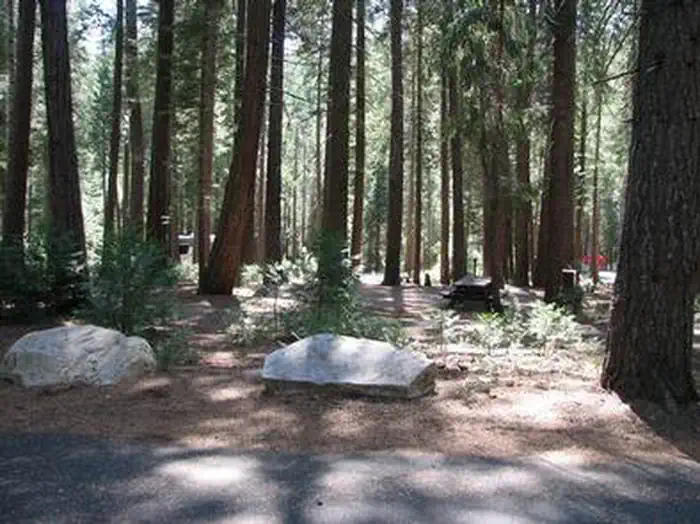
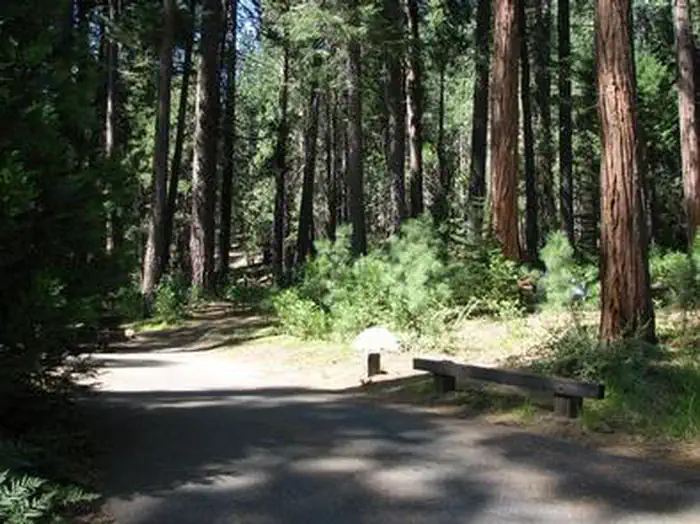
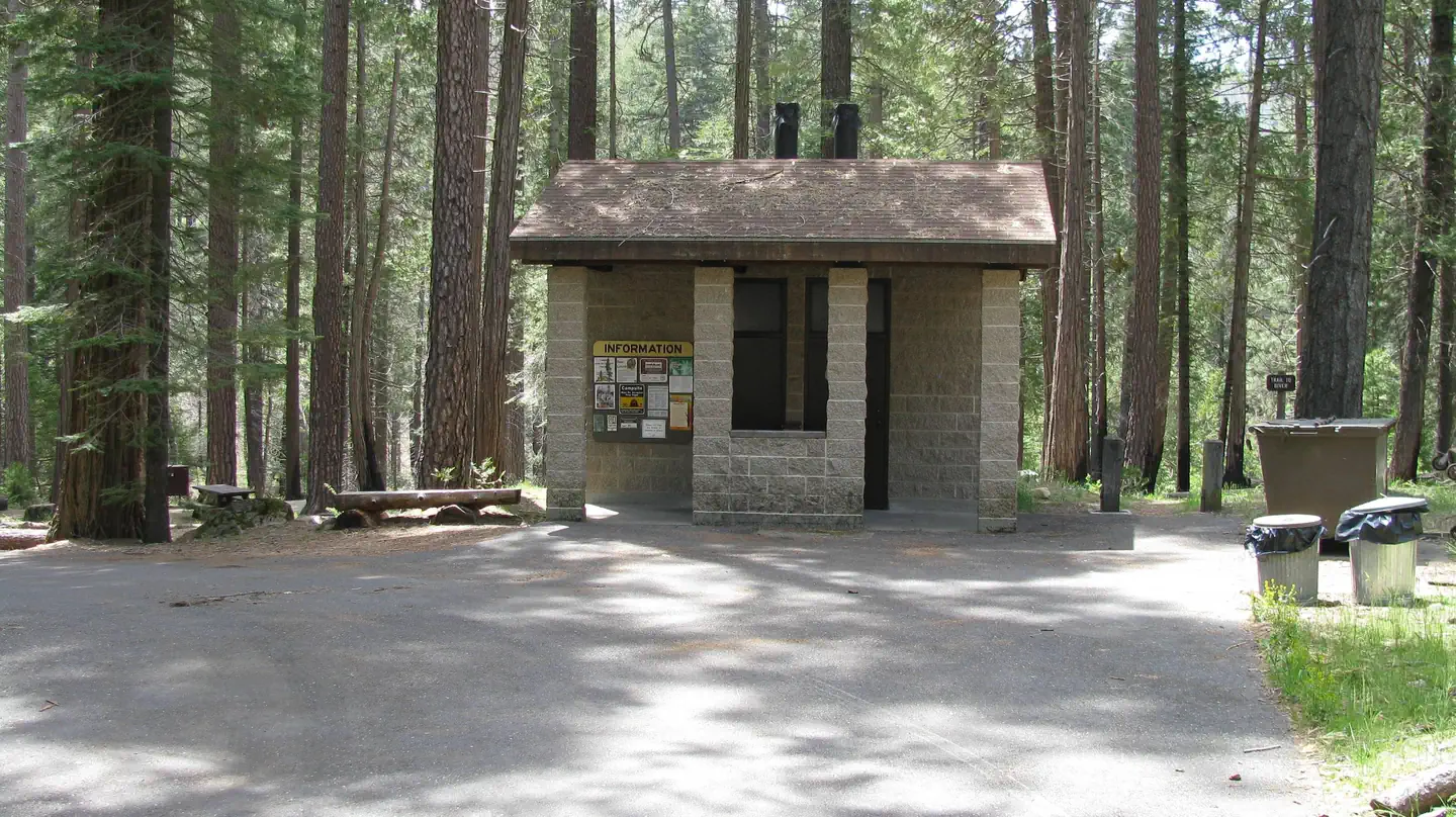
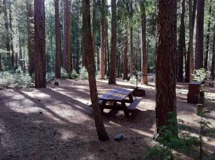
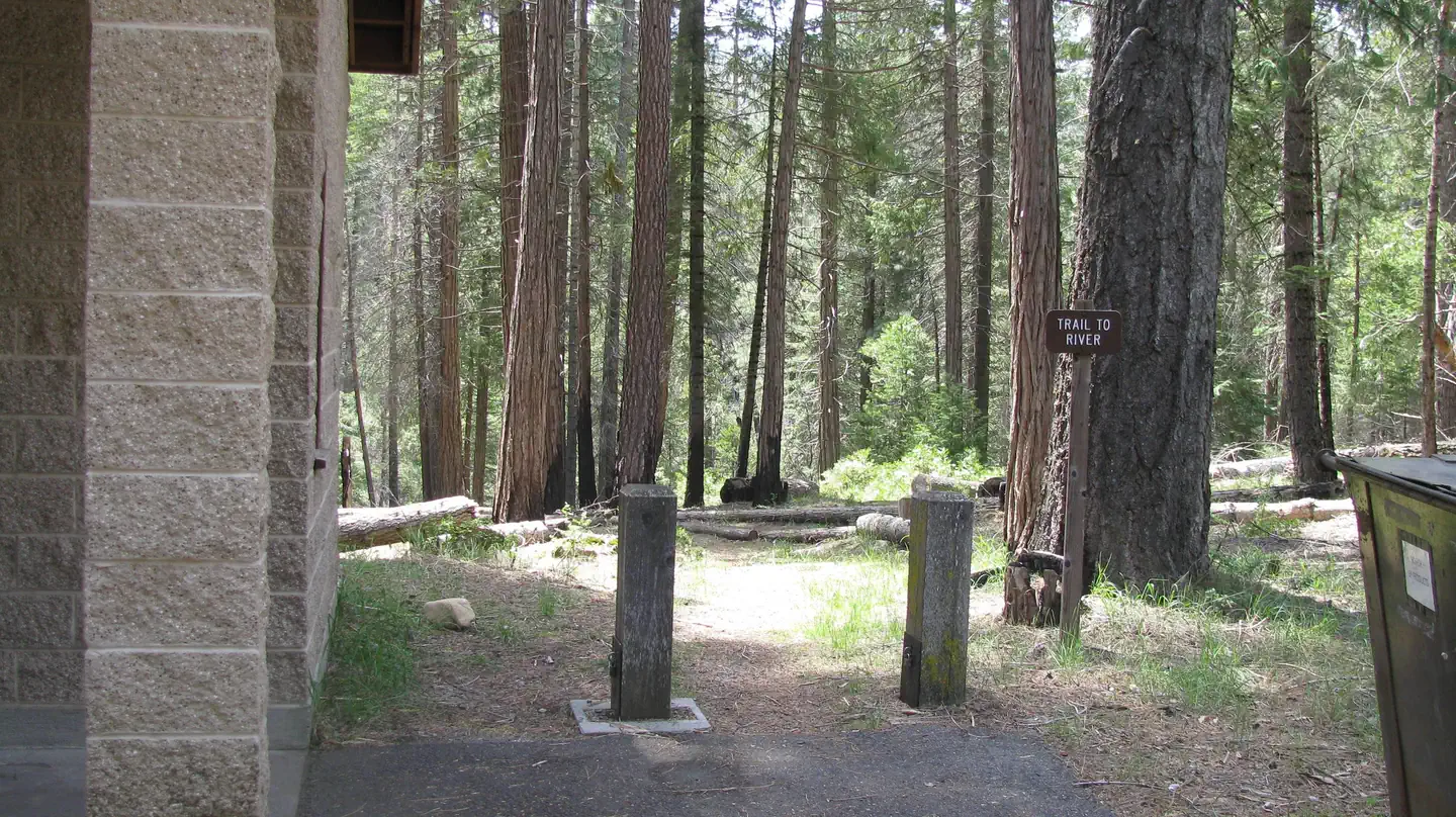
Overview Dimond O is ideally located closest to Yosemite National Park's Big Oak Flat entrance and Hetch Hetchy. It's nestled near the banks of the scenic Middle Fork Toulumne River, where warm summer days can be spent wading and fly fishing in the refreshing waters. Recreation Nearby trails include the Carlon Falls Trail near the Carlon Day Use Area, and Yosemite National Park trails accessible from Hetch Hetchy. The Middle Fork Toulumne River is a popular spot for swimming, wading and rainbow trout fishing. Facilities The campground offers single and double-family sites, many of which are accessible. Picnic tables and campfire rings are provided, as are accessible vault toilets and drinking water. Roads and parking spurs are paved. Firewood is available for a fee. Natural Features Some sites overlook the river and others are tucked among cedar and ponderosa pine trees. The Tuolumne River runs for about 150 miles from the central Sierra Nevada to the San Joaquin River. Contact Info For facility specific information, please call (801) 226-3564. Nearby Attractions Take a scenic drive through Yosemite to explore its legendary landscapes.
From the managing agency.
Is DIMOND O free?
We do not have a fee on record for DIMOND O. Confirm the cost locally before you go.
How do I get to DIMOND O?
DIMOND O is at 37.8250, -119.8611. We do not hold written directions for this one, so navigate to the coordinates.
Nearby
- Hodgdon Meadow Campground1.8 mi
- Dimond "O" Campground2.7 mi
- Crane Flat Campground4.3 mi
- Crane Flat Campground6.2 mi
- Spinning Wheel Campground6.5 mi
- Sweetwater (Stanislaus National Forest)7.9 mi
- Sweetwater Campground7.9 mi
- Tamarack Flat Campground8.5 mi
- Indian Creek Camp Ground-Trailer Dump Site63.3 mi
- Indian Creek Camp Ground-Potable Water63.7 mi
SourceSource data is agency published. Last synced September 19, 2026. Community reports and photos are submitted by travelers and are not verified by the agency.
