
DILLON CREEK CAMPGROUND
USFS · Campground · Fee
Fast facts
- Cost
- Fee charged
- Managed by
- USFS
- Type
- Campground
- Reservations
- recreation.gov
- Phone
- 530-629-4136
- Nearest dump station
- Aspen Point Dump Station · 88.5 mi
- Coordinates
- 41.5733, -123.5431
- Last verified
- September 19, 2026


About this place
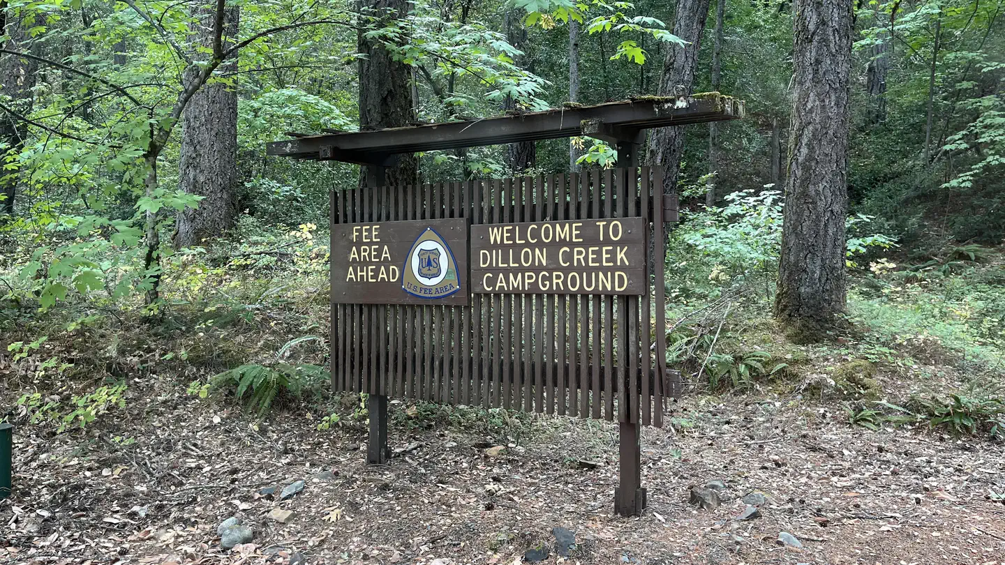
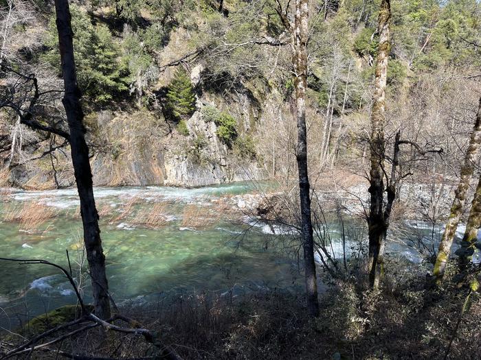
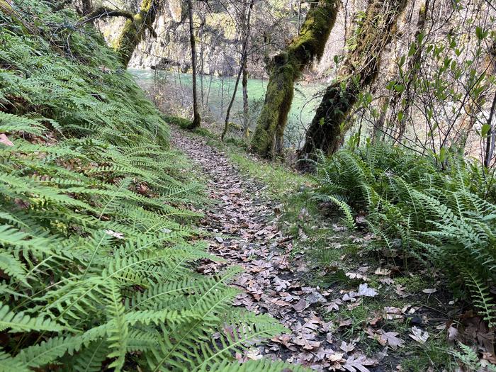
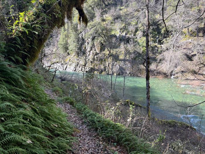
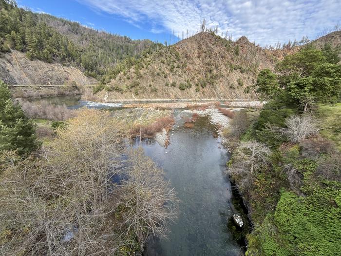
Overview Open mid-May through mid-October. Campsite List calendar starts at the next available reservation dates. Dillon Creek Campground sits along its namesake creek in the lush forests of northern California. Visitors enjoy a variety of water sports on the nearby Klamath River. Recreation The Klamath and Salmon Rivers offer excellent fishing, swimming and whitewater rafting opportunities. Fishing for salmon and steelhead during the fall and early winter months is considered the finest in California. Hunting is also a popular pastime, with game including blacktail deer, black bear, grouse and quail. Facilities This campground has 21 single-family campsites, all equipped with picnic tables and campfire rings with grills. Vault toilets are provided. A host may be on-site, and roads throughout the campground are paved. Call 530-627-3291 for current drinking water availability. Natural Features The campground is situated in a forest of mixed hardwoods and conifers at an elevation of 800 feet. The Klamath River, a popular site for salmon fishing, runs alongside the site. Contact Info For facility specific information, please call (530) 627-3291.
From the USFS.Official page
Is DILLON CREEK CAMPGROUND free?
No. DILLON CREEK CAMPGROUND charges a fee. It is managed by the USFS. Sites are reservable through recreation.gov.
How do I get to DILLON CREEK CAMPGROUND?
From the South, take State Route 96 North ( off of State Route 299 in Willow Creek) and proceed for 60.2 miles. The campground will be on the lefeet hand side.From the North (Interstate 5), take State Route 96 south west, past Happy Camp, for 85.7 miles. The campground will be on the right hand side.
Nearby
SourceData from the USFS. Last synced September 19, 2026. Community reports and photos are submitted by travelers and are not verified by the agency.
