
CIRCLE X RANCH GROUP CAMPGROUND
Campground · Fee
Fast facts
- Cost
- Fee charged
- Type
- Campground
- Phone
- 805-370-2301
- Coordinates
- 34.1097, -118.9372
- Last verified
- September 19, 2026

About this place
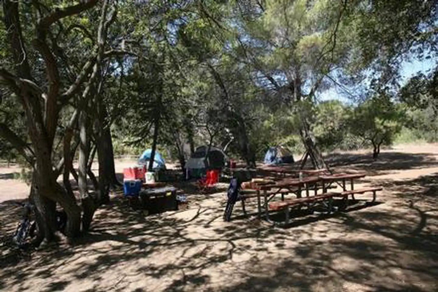
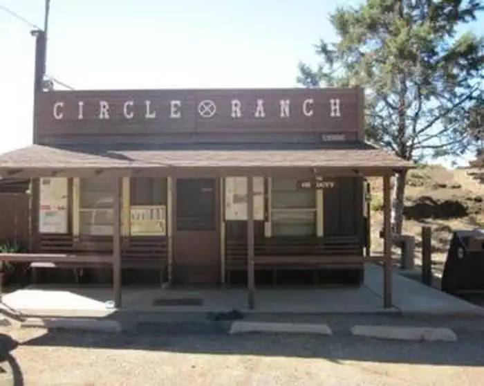
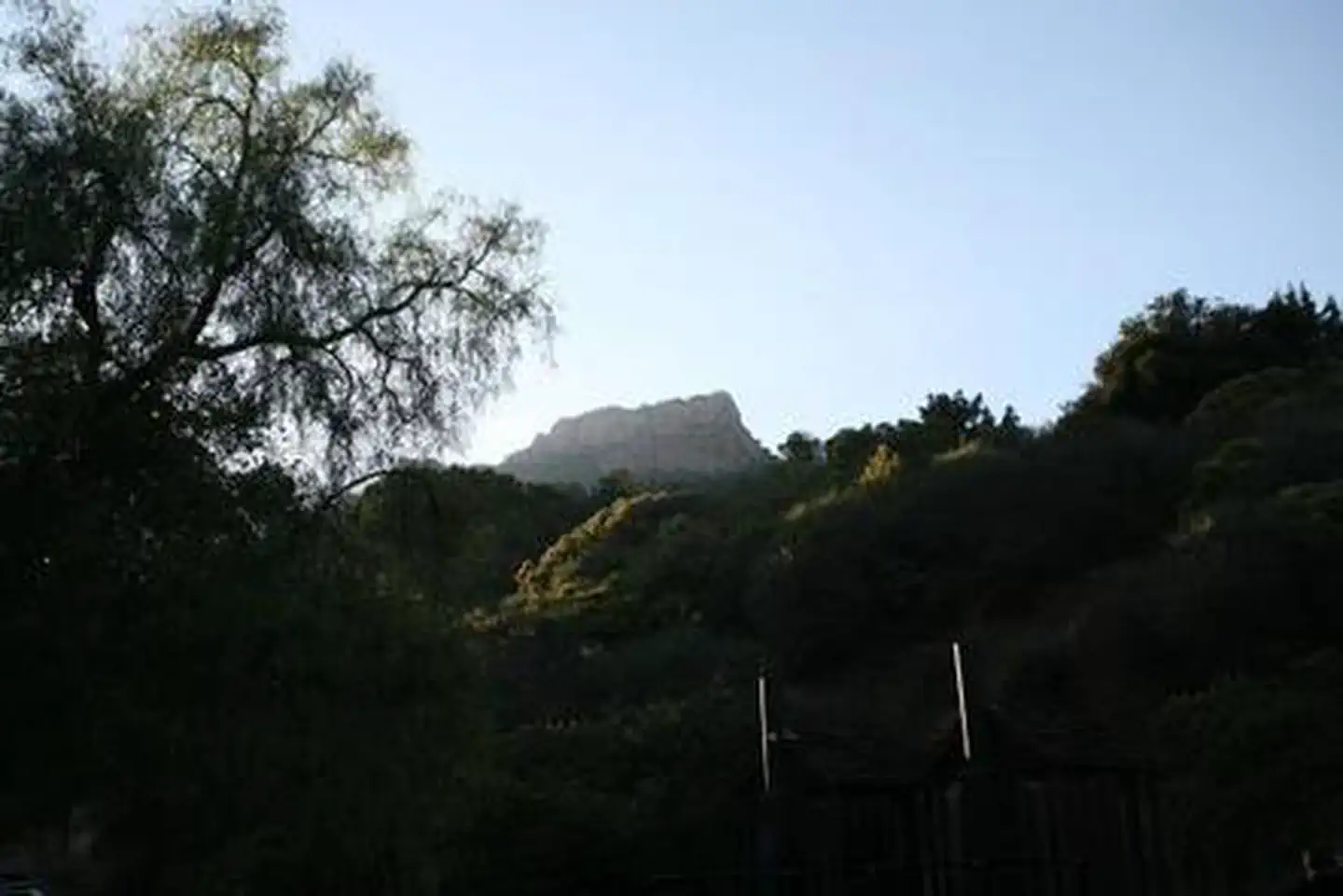
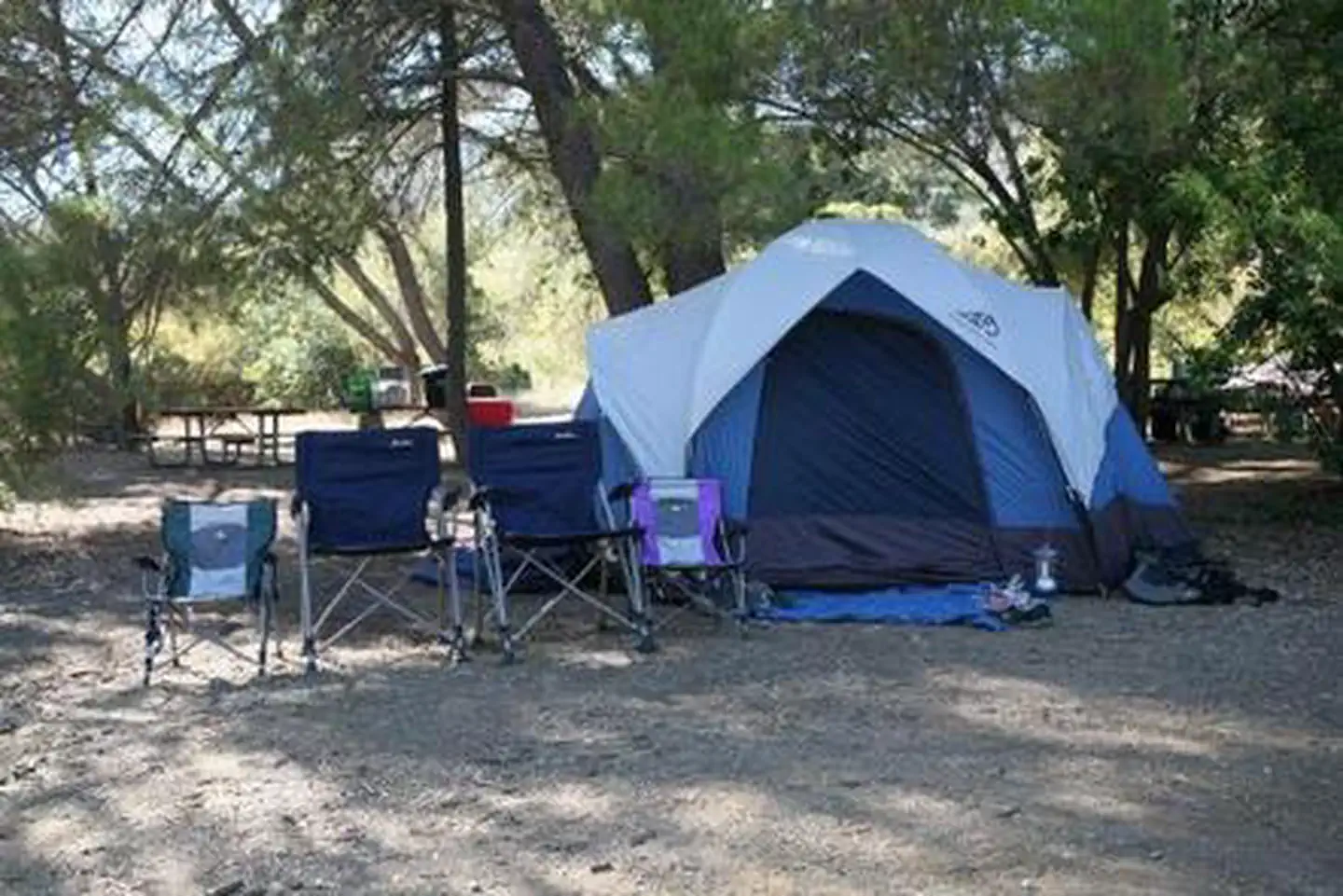
Overview Circle X Ranch Group Campground is closed until further notice. There is no estimated re-opening date. Are you searching for a weekend getaway with mountain overlooks and sunny, sandy beaches? Your vacation destination may be a short drive from Los Angeles, California! Santa Monica Mountains National Recreation Area offers many opportunities to shake off the stresses of city life and immerse yourself in the beauty of nature. Recreation Travel one of the many trails that wind through this rare coastal Mediterranean ecosystem. The plants you see here, such as coastal sage scrub and mixed chaparral, are adapted to hot, dry summers and mild, wet winters. Keep an eye out for red shank chaparral, a tree-like shrub with reddish-brown bark, clusters of thread-like leaves, and small bunches of white flowers in July and August. From the dry, rocky slopes near Sandstone Peak to the lush fern-studded Grotto, Circle X Ranch provides a wide variety of recreational possibilities. Linger here for a while, and experience the ambiance of this secluded mountain retreat. Facilities Circle X Ranch Group Campground is closed until further notice. There is no estimated re-opening date. Located below the Ranger Contact Station at Cirlce X Ranch. Check-in here with park staff before heading down to your campsite. Natural Features Tucked in the canyons above Malibu and nestled below majestic Boney Mountain, you will find Circle X Ranch. This former Boy Scout camp offers many opportunities for exploration and adventure. Journey to Sandstone Peak, the highest point in the Santa Monica Mountains, and see several of the Channel Islands on a clear day. Enjoy a visit to the Grotto or a creekside picnic. Reserve the Group Camp and listen to coyote songs at night. Nearby Attractions Enjoy a visit to the Grotto or a picnic at the trailhead next to the campground. Grotto Trail 3.5 miles round trip, moderate to strenuous; no bikes, no horses. This trail traverses hillsides and leads down to the West Fork of the Arroyo Sequit. The trail is downhill from the Ranger Station, which means an uphill return. The Grotto area is rugged terrain; be careful and wear appropriate hiking attire. The last 1/8 mile is through an unimproved streambed and dogs are not allowed. The Ranger Contact Station can provide you with free hiking maps of Circle X Ranch. A publication of park-led activites for Santa Monica Mountains National Recreation Area is also available. Vists to nearby Malibu and the Pacific Ocean are just a short drive way.
From the managing agency.
Is CIRCLE X RANCH GROUP CAMPGROUND free?
No. CIRCLE X RANCH GROUP CAMPGROUND charges a fee.
How do I get to CIRCLE X RANCH GROUP CAMPGROUND?
CIRCLE X RANCH GROUP CAMPGROUND is at 34.1097, -118.9372. We do not hold written directions for this one, so navigate to the coordinates.
Nearby
- Circle X Ranch Campground - CLOSED0.6 mi
- Anacapa Island Campground25.6 mi
- ANACAPA ISLAND25.6 mi
- Rose Valley32.3 mi
- ROSE VALLEY CAMPGROUND32.3 mi
- MIDDLE LION CAMPGROUND33.0 mi
- Middle Lion33.0 mi
- WHEELER GORGE33.7 mi
No other services within 50 mi on the record.
SourceSource data is agency published. Last synced September 19, 2026. Community reports and photos are submitted by travelers and are not verified by the agency.
