
Chowchilla Recreation Area Day Use
Campground · Fee not listed
Fast facts
- Cost
- Not listed. Check locally.
- Type
- Campground
- Phone
- 559-689-3255
- Coordinates
- 37.2250, -119.9831
- Last verified
- September 19, 2026
About this place
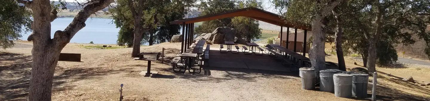
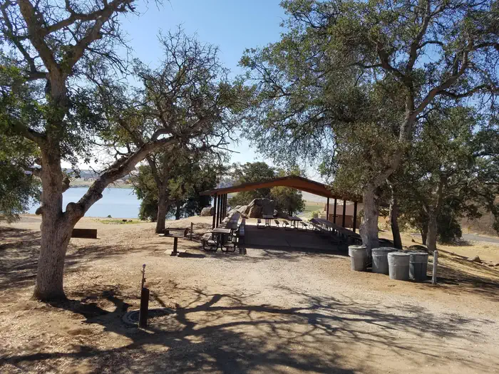
Overview Chowchilla Recreation Day Use Area is located at the beautiful Eastman Lake, surrounded by rugged oak-covered hills. Visitors take advantage of this scenic setting for fishing, boating and hiking. Abundant wildlife in the area includes bobcats, Golden eagles, hawks, Wood ducks and Bald eagles. Recreation With warm summers and mild winters, visitors can take advantage of a range of activities including eight miles of trails available for hikers, mountain bikers or horseback riders. Eastman is the first lake designated by the California Department of Fish and Game as a Trophy Bass Fishery. Crappie, trout and catfish are also popular catches. Facilities The picnic shelter can be reserved on a day to day basis only. Camping overnight is not allowed. The picnic shelter holds up to 100 people. A playground, horseshoe pits, and flush toilets are also available for use. Natural Features Nestled in the foothills of the Sierra Nevada Range, Eastman Lake boasts spectacular views of the surrounding mountains. The 1,780 surface-acre lake is fed by the Chowchilla River, a tributary of the San Joaquin River. Nearby Attractions The Observation Center is an ideal stopping place to learn about the natural and cultural history of the area.
From the managing agency.
Is Chowchilla Recreation Area Day Use free?
We do not have a fee on record for Chowchilla Recreation Area Day Use. Confirm the cost locally before you go.
How do I get to Chowchilla Recreation Area Day Use?
Chowchilla Recreation Area Day Use is at 37.2250, -119.9831. We do not hold written directions for this one, so navigate to the coordinates.
Nearby
- Codorniz Campground1.0 mi
- Codorniz Recreation Area Campground1.0 mi
- Wildcat Campground1.4 mi
- Wildcat Recreation Area Campground1.5 mi
- Wildcat Equestrian Area1.6 mi
- HIDDEN VIEW8.4 mi
- BUCK RIDGE9.1 mi
- Hidden View Campground9.4 mi
No other services within 50 mi on the record.
SourceSource data is agency published. Last synced September 19, 2026. Community reports and photos are submitted by travelers and are not verified by the agency.
