
BUCK RIDGE
Campground · Fee not listed
Fast facts
- Cost
- Not listed. Check locally.
- Type
- Campground
- Phone
- 559-673-5151
- Coordinates
- 37.1250, -119.8750
- Last verified
- September 19, 2026

About this place
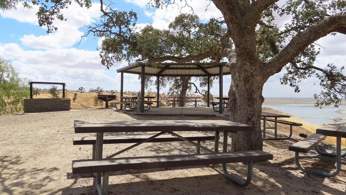
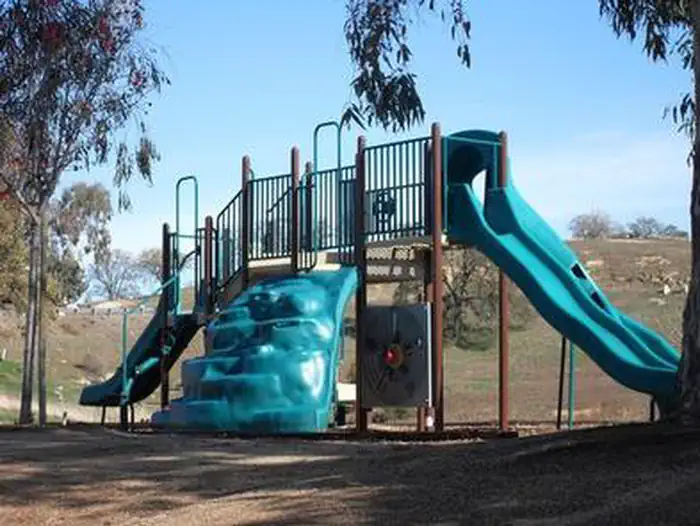
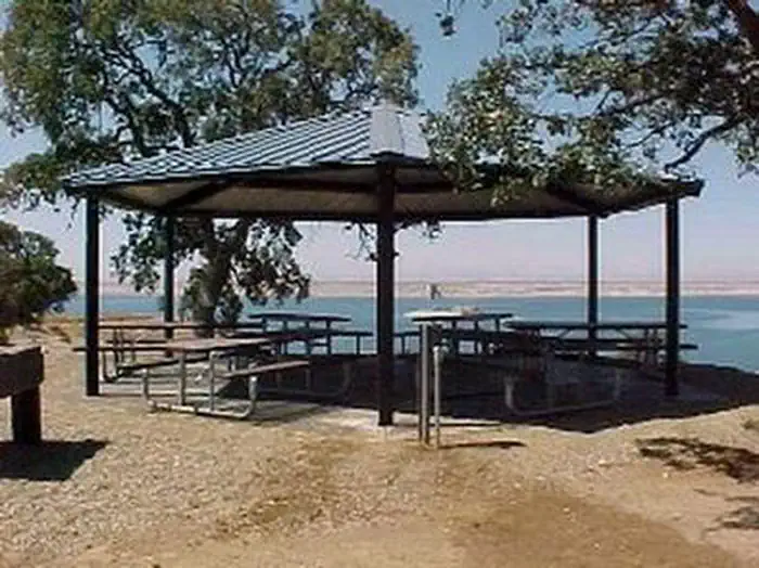
Overview Buck Ridge group day-use pavillion is located within the Buck Ridge Recreation Area at Hidden Dam, Hensley Lake. The pavilion has drinking water access, multiple picnic tables, a large barbeque pit and grill for cooking, two horseshoe pits and a water-borne restroom for your use. The lake area offers many recreational opportunities, such as swimming, water skiing, fishing and hiking, and attracts a growing number of visitors per year. It is within a short drive to Yosemite, Kings Canyon and Sequoia National Parks, as well as Sierra National Forest. The 1,500-acre lake was created by the construction of Hidden Dam on the Fresno River. With over 20 miles of shoreline, it is a popular vacation spot for families because of its playground, swimming areas and water activities. Recreation The area is packed with opportunities for outdoor fun. The lake area has a swim beach, a disc golf course and a hiking, mountain biking and equestrian trail. On the water, visitors can ski, swim and fish. Facilities This facility has boat ramps, picnic areas, a group picnic shelter and a playground. Drinking water is provided, and there is a grocery store within a short driving distance. Natural Features Buck Ridge is located directly on the shore of Hensley Lake and surrounded by the oak woodlands of the Sierra Nevada foothills, offering a mixture of sun and shade. Nearby Attractions Yosemite National Park is about one hour north, and Sequoia and Kings Canyon National Parks are about 1.5 hours southeast of the facility. Yosemite National Park Sequoia and Kings Canyon National Parks
From the managing agency.
Is BUCK RIDGE free?
We do not have a fee on record for BUCK RIDGE. Confirm the cost locally before you go.
How do I get to BUCK RIDGE?
BUCK RIDGE is at 37.1250, -119.8750. We do not hold written directions for this one, so navigate to the coordinates.
Nearby
- Hidden View Campground0.4 mi
- HIDDEN VIEW1.2 mi
- Wildcat Equestrian Area7.5 mi
- Wildcat Recreation Area Campground7.6 mi
- Wildcat Campground7.7 mi
- Codorniz Recreation Area Campground8.1 mi
- Codorniz Campground8.1 mi
- Chowchilla Recreation Area Day Use9.1 mi
No other services within 50 mi on the record.
SourceSource data is agency published. Last synced September 19, 2026. Community reports and photos are submitted by travelers and are not verified by the agency.
