
CHERRY VALLEY
Campground · Fee not listed
Fast facts
- Cost
- Not listed. Check locally.
- Type
- Campground
- Phone
- 209-379-2258
- Nearest dump station
- Indian Creek Camp Ground-Trailer Dump Site · 52.6 mi
- Nearest water fill
- Indian Creek Camp Ground-Potable Water · 53.0 mi
- Coordinates
- 37.9856, -119.9169
- Last verified
- September 19, 2026

About this place
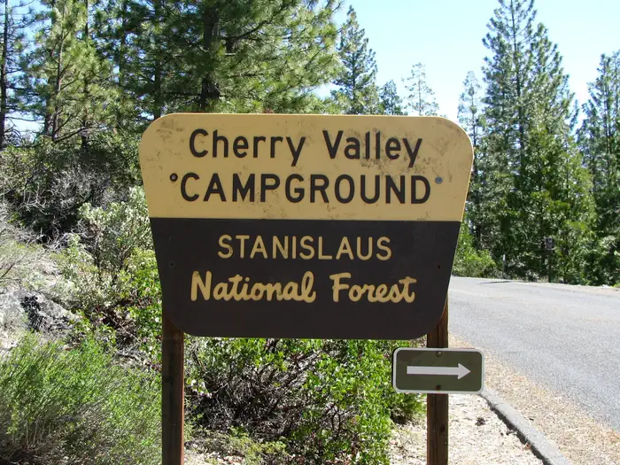
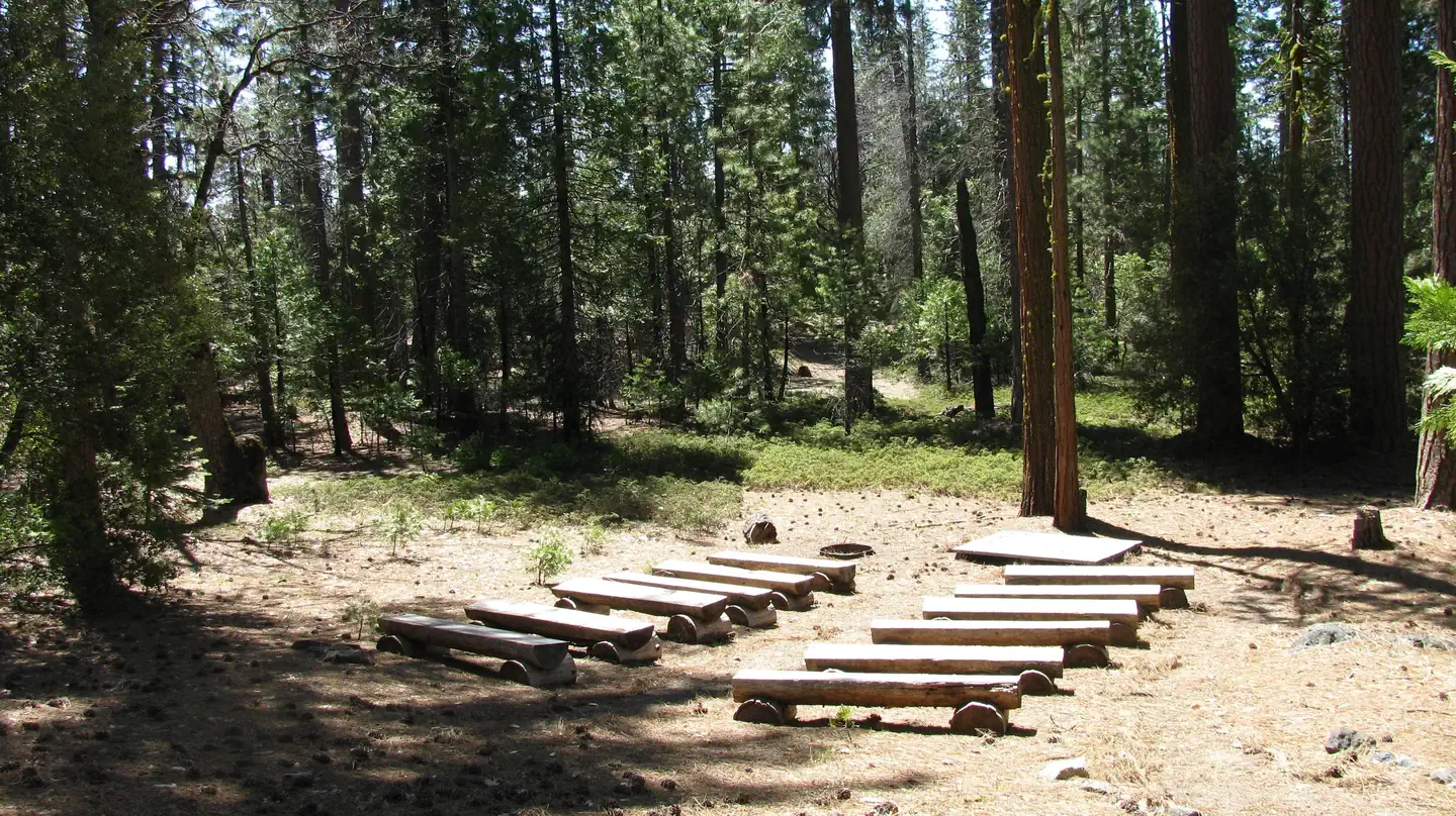
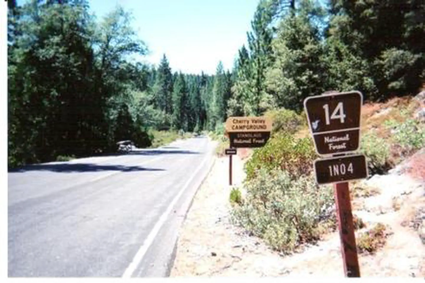
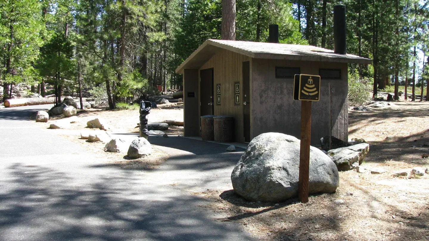
Overview Situated in the central Sierra Nevada, camping at Cherry Valley campground offers many beautiful sights. It is located in a forest of mixed conifers about 1.5 miles northeast of Cherry Valley Dam, 1 hour east of Tuolumne City, 1 hour northeast of Groveland, and 2.5 hours from the northwestern border of Yosemite National Park. Lake access is available via a hiking trail. The road to the campground is a winding mountain road and must be taken slowly. Recreation There are unlimited opportunities for fishing on lakes and rivers and for exploring hiking trails in the area. Cherry Lake has a boat ramp near the dam, conveniently located off Cherry Lake Road. Visitors to Cherry Valley can enjoy a quiet lake experience great for water sports, swimming, and fishing. Facilities Cherry Valley has 41 single and five double family sites with paved roads and spurs. Each site has a table and campfire pit with a grill. Drinking water and vault toilets are available. The opening and closing dates are somewhat weather dependent, but the campground is generally open for the first day of fishing season, the last Friday in April. Pets are welcome, but must be compliant with Tuolumne County leash laws. Natural Features Visitors to Cherry Valley campground can enjoy easy access to nearby Cherry Lake, the largest lake in the Stanislaus National Forest. Anglers flock to Cherry Lake every year, plotting their next catch of eastern brook trout, German brown trout, kokanee salmon, and rainbow trout. Contact Info For facility specific information, please call (801) 226-3564.
From the managing agency.
Is CHERRY VALLEY free?
We do not have a fee on record for CHERRY VALLEY. Confirm the cost locally before you go.
How do I get to CHERRY VALLEY?
CHERRY VALLEY is at 37.9856, -119.9169. We do not hold written directions for this one, so navigate to the coordinates.
Nearby
- Cherry Valley Campground0.4 mi
- Dimond "O" Campground8.8 mi
- Hull Creek Campground10.1 mi
- Spinning Wheel Campground10.6 mi
- Lumsden Bridge Campground11.3 mi
- DIMOND O11.5 mi
- Sweetwater (Stanislaus National Forest)12.1 mi
- Sweetwater Campground12.1 mi
- Indian Creek Camp Ground-Trailer Dump Site52.6 mi
- Indian Creek Camp Ground-Potable Water53.0 mi
SourceSource data is agency published. Last synced September 19, 2026. Community reports and photos are submitted by travelers and are not verified by the agency.
